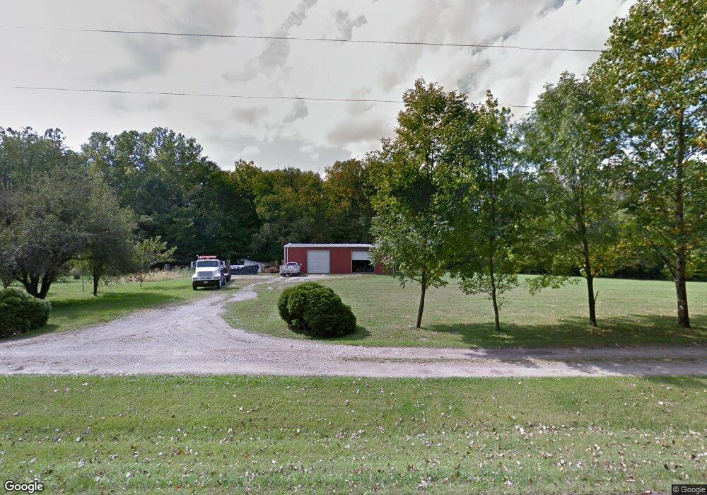
3281 Cornstalk Rd Waynesville, OH 45068
Estimated Value: $217,000 - $327,290
3
Beds
3
Baths
1,276
Sq Ft
$212/Sq Ft
Est. Value
About This Home
This home is located at 3281 Cornstalk Rd, Waynesville, OH 45068 and is currently estimated at $271,097, approximately $212 per square foot. 3281 Cornstalk Rd is a home located in Greene County with nearby schools including Xenia High School.
Ownership History
Date
Name
Owned For
Owner Type
Purchase Details
Closed on
Apr 14, 1998
Sold by
Tyler Morgan David
Bought by
Morgan Halcomb Lisa K
Current Estimated Value
Home Financials for this Owner
Home Financials are based on the most recent Mortgage that was taken out on this home.
Original Mortgage
$73,000
Outstanding Balance
$14,052
Interest Rate
7.26%
Estimated Equity
$257,045
Purchase Details
Closed on
Mar 24, 1994
Bought by
Halcomb Lisa K Morgan
Create a Home Valuation Report for This Property
The Home Valuation Report is an in-depth analysis detailing your home's value as well as a comparison with similar homes in the area
Home Values in the Area
Average Home Value in this Area
Purchase History
| Date | Buyer | Sale Price | Title Company |
|---|---|---|---|
| Morgan Halcomb Lisa K | -- | -- | |
| Halcomb Lisa K Morgan | $35,000 | -- |
Source: Public Records
Mortgage History
| Date | Status | Borrower | Loan Amount |
|---|---|---|---|
| Open | Morgan Halcomb Lisa K | $73,000 |
Source: Public Records
Tax History Compared to Growth
Tax History
| Year | Tax Paid | Tax Assessment Tax Assessment Total Assessment is a certain percentage of the fair market value that is determined by local assessors to be the total taxable value of land and additions on the property. | Land | Improvement |
|---|---|---|---|---|
| 2024 | $3,963 | $79,350 | $24,010 | $55,340 |
| 2023 | $3,963 | $79,350 | $24,010 | $55,340 |
| 2022 | $3,659 | $63,250 | $22,510 | $40,740 |
| 2021 | $3,703 | $63,250 | $22,510 | $40,740 |
| 2020 | $3,393 | $63,250 | $22,510 | $40,740 |
| 2019 | $3,564 | $62,270 | $19,210 | $43,060 |
| 2018 | $3,514 | $62,270 | $19,210 | $43,060 |
| 2017 | $3,340 | $62,270 | $19,210 | $43,060 |
| 2016 | $3,340 | $60,450 | $18,510 | $41,940 |
| 2015 | $3,349 | $60,450 | $18,510 | $41,940 |
| 2014 | $3,213 | $60,450 | $18,510 | $41,940 |
Source: Public Records
Map
Nearby Homes
- 196 Mound St
- 9500 Collett Rd Unit 20
- 9052 Wilson Rd
- 2538 State Route 725
- 2538 Ohio 725
- 8648 Compton Rd
- 2 Acres Mount Holly Rd
- 0 Penewit Rd
- 10 Acres Penewit Rd
- 8760 State Route 380
- 8881 Route 42
- 7364 Cook Jones Rd
- 1753 Cedar Ridge Dr
- 1068 Hedges Rd
- 9161 Old Stage Rd
- Chatham Plan at Edenbridge
- Bellamy Plan at Edenbridge
- Holcombe Plan at Edenbridge
- Henley Plan at Edenbridge
- Newcastle Plan at Edenbridge
- 0 Cornstalk Rd Unit 773607
- 0 Cornstalk Rd Unit 544849
- 1 Cornstalk
- 0 Cornstalk Rd Unit 1739072
- 0 Cornstalk Rd Unit 863803
- 3311 Cornstalk Rd
- 1509 E Spring Valley Paintersville Rd
- 3316 Houston Rd
- 3330 Cornstalk Rd
- 3341 Cornstalk Rd
- Tract 3 Cornstalk Rd
- 0 Cornstalk Unit 406321
- 3381 Cornstalk Rd
- 3080 Cornstalk Rd
- 3405 Cornstalk Rd
- 3445 Cornstalk Rd
- 3030 Cornstalk Rd
- 3293 Houston Rd
- 2987 Cornstalk Rd
- 3311 Houston Rd