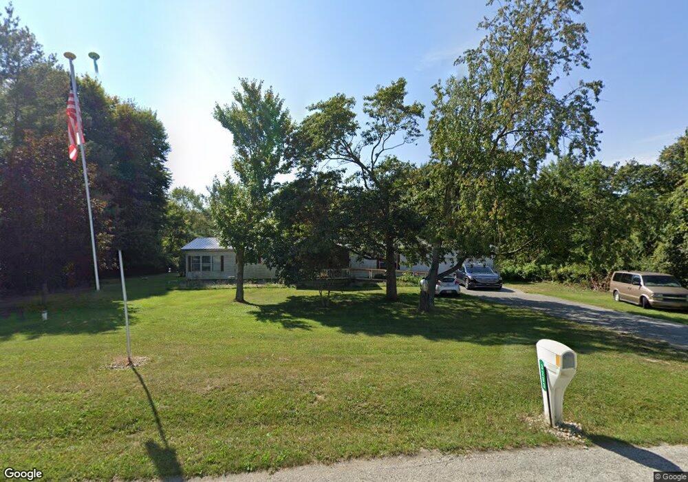
3283 W 450 S Crawfordsville, IN 47933
Estimated Value: $233,321 - $299,000
3
Beds
2
Baths
1,848
Sq Ft
$138/Sq Ft
Est. Value
About This Home
This home is located at 3283 W 450 S, Crawfordsville, IN 47933 and is currently estimated at $255,830, approximately $138 per square foot. 3283 W 450 S is a home located in Montgomery County with nearby schools including Southmont Senior High School.
Ownership History
Date
Name
Owned For
Owner Type
Purchase Details
Closed on
Nov 23, 2020
Sold by
Wall To Wall Properties 50 Llc Llc
Bought by
Roberson David
Current Estimated Value
Home Financials for this Owner
Home Financials are based on the most recent Mortgage that was taken out on this home.
Original Mortgage
$59,500
Outstanding Balance
$48,010
Interest Rate
2.8%
Mortgage Type
New Conventional
Estimated Equity
$207,820
Purchase Details
Closed on
May 26, 2016
Sold by
Wall Aaron M
Bought by
Wall To Wall Properties 50 Llc
Purchase Details
Closed on
Apr 11, 2015
Sold by
Susoeff Antoinette M
Bought by
Wall Aaron M
Purchase Details
Closed on
Feb 4, 2008
Sold by
Kelsey Karen F Vannice
Bought by
Susoeff Gerald L and Susoeff Antoinette M
Home Financials for this Owner
Home Financials are based on the most recent Mortgage that was taken out on this home.
Original Mortgage
$35,001
Interest Rate
5.88%
Mortgage Type
New Conventional
Create a Home Valuation Report for This Property
The Home Valuation Report is an in-depth analysis detailing your home's value as well as a comparison with similar homes in the area
Home Values in the Area
Average Home Value in this Area
Purchase History
| Date | Buyer | Sale Price | Title Company |
|---|---|---|---|
| Roberson David | -- | None Available | |
| Wall To Wall Properties 50 Llc | -- | Security Abstract & Title Co | |
| Wall Aaron M | -- | None Available | |
| Susoeff Gerald L | -- | None Available |
Source: Public Records
Mortgage History
| Date | Status | Borrower | Loan Amount |
|---|---|---|---|
| Open | Roberson David | $59,500 | |
| Previous Owner | Susoeff Gerald L | $35,001 |
Source: Public Records
Tax History Compared to Growth
Tax History
| Year | Tax Paid | Tax Assessment Tax Assessment Total Assessment is a certain percentage of the fair market value that is determined by local assessors to be the total taxable value of land and additions on the property. | Land | Improvement |
|---|---|---|---|---|
| 2024 | $941 | $119,400 | $24,000 | $95,400 |
| 2023 | $809 | $105,700 | $17,400 | $88,300 |
| 2022 | $702 | $93,700 | $17,400 | $76,300 |
| 2021 | $559 | $87,200 | $17,400 | $69,800 |
| 2020 | $270 | $81,700 | $15,400 | $66,300 |
| 2019 | $1,496 | $80,400 | $15,400 | $65,000 |
| 2018 | $1,319 | $74,100 | $11,200 | $62,900 |
| 2017 | $1,326 | $68,000 | $11,200 | $56,800 |
| 2016 | $299 | $67,600 | $11,200 | $56,400 |
| 2014 | $98 | $69,600 | $11,200 | $58,400 |
| 2013 | $98 | $66,300 | $11,200 | $55,100 |
Source: Public Records
Map
Nearby Homes
- 4600 S Tahoe Trail
- TBD Huron
- 0 Wellington Blvd Unit 202535107
- 00 Cambridge Dr
- 1816 W 500 S
- 3105 S State Road 47
- 303 Vine St
- 1061 W Cedar Ln
- 00 S 600 W
- 106 E Main St
- 202 E Main St
- 3916 W Old Mill Rd
- TBD Redwood Dr
- 0 W Indiana 234
- 3068 S US Highway 231
- 2994 W State Road 32
- 650 S Eagles Way
- 0 S Us 231 Unit MBR22024646
- 695 S Saint Louis Dr
- 695 S St Louis Dr
- 3303 W 450 S
- 4526 S Cherokee Trail
- 3258 W 450 S
- 4572 S Cherokee Trail
- 3189 W 450 S
- 4561 S Cherokee Trail
- 4521 S Cherokee Trail
- 4528 Cherokee Trail
- 423 Cherokee Trail
- 389 Cherokee Trail
- 0 Cherokee Trail
- 4612 S Cherokee Trail
- 3135 W 450 S
- 4646 S Iroquois Dr
- 3468 W 450 S
- 4648 Cherokee Trail
- 3151 W 450 S
- 3003 W 450 S
- 4701 S Cherokee Trail
- 3056 W 450 S Unit 3072