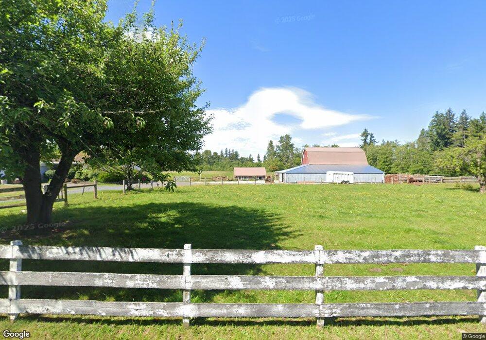
3284 Brown Rd Ferndale, WA 98248
Estimated Value: $762,526 - $775,000
2
Beds
2
Baths
1,520
Sq Ft
$506/Sq Ft
Est. Value
About This Home
This home is located at 3284 Brown Rd, Ferndale, WA 98248 and is currently estimated at $768,763, approximately $505 per square foot. 3284 Brown Rd is a home located in Whatcom County with nearby schools including Custer Elementary School, Horizon Middle School, and Ferndale High School.
Ownership History
Date
Name
Owned For
Owner Type
Purchase Details
Closed on
Oct 17, 2023
Sold by
Livick Living Trust
Bought by
Perry Joel and Perry Elizabeth
Current Estimated Value
Home Financials for this Owner
Home Financials are based on the most recent Mortgage that was taken out on this home.
Original Mortgage
$535,000
Outstanding Balance
$523,133
Interest Rate
7.18%
Mortgage Type
New Conventional
Estimated Equity
$245,630
Create a Home Valuation Report for This Property
The Home Valuation Report is an in-depth analysis detailing your home's value as well as a comparison with similar homes in the area
Purchase History
| Date | Buyer | Sale Price | Title Company |
|---|---|---|---|
| Perry Joel | $733,101 | Whatcom Land Title |
Source: Public Records
Mortgage History
| Date | Status | Borrower | Loan Amount |
|---|---|---|---|
| Open | Perry Joel | $535,000 |
Source: Public Records
Tax History
| Year | Tax Paid | Tax Assessment Tax Assessment Total Assessment is a certain percentage of the fair market value that is determined by local assessors to be the total taxable value of land and additions on the property. | Land | Improvement |
|---|---|---|---|---|
| 2025 | $4,613 | $756,017 | $465,534 | $290,483 |
| 2024 | $4,335 | $756,017 | $465,534 | $290,483 |
| 2023 | $4,335 | $800,977 | $521,666 | $279,311 |
| 2022 | $2,802 | $680,011 | $365,530 | $314,481 |
| 2021 | $2,607 | $539,686 | $290,100 | $249,586 |
| 2020 | $2,674 | $237,835 | $26,322 | $211,513 |
| 2019 | $2,157 | $423,478 | $227,634 | $195,844 |
| 2018 | $2,543 | $200,590 | $22,200 | $178,390 |
| 2017 | $2,156 | $180,712 | $20,000 | $160,712 |
| 2016 | $2,161 | $161,272 | $18,918 | $142,354 |
| 2014 | -- | $164,170 | $30,282 | $133,888 |
| 2013 | -- | $159,953 | $28,909 | $131,044 |
Source: Public Records
Map
Nearby Homes
- 3145 Brown Rd
- 0 Grandview Rd Unit NWM2386341
- 7475 Valley View Rd
- 0 Valley View Lot 2 Rd Unit NWM2208210
- 7067 Yukon Way
- 6241 Olson Rd
- 3876 Aldergrove Rd
- 6152 Garrett Ln
- 0 Bay Rd Unit NWM2489001
- 3883 Everett Ln
- 2646 Lochcarron Dr
- 2622 Glenmore St
- 2675 Glenmore St
- 6185 Pacific Heights Dr
- 6080 Mesa Ct
- 7125 Kickerville Rd
- 2769 Jenjar Ave
- 2630 (Lot 12) Sievers Way
- 2448 Pheasant Way
- 5946 (Lot 45) Ranch Loop
- 3218 Brown Rd
- 3223 Brown Rd
- 3203 Brown Rd
- 3195 Brown Rd
- 0 Valley View Rd
- 1 Valley View Rd
- 2 Valley View Rd
- 3381 Brown Rd
- 3181 Brown Rd
- 3346 Bailey Way
- 3403 Brown Rd
- 3165 Brown Rd
- 6821 Hawk Ridge Dr
- 3296 Aldergrove Rd
- 3439 Brown Rd
- 3125 Brown Rd
- 3384 Bailey Way
- 6640 N Star Rd
- 3128 Brown Rd
- 3449 Bailey Way
Your Personal Tour Guide
Ask me questions while you tour the home.