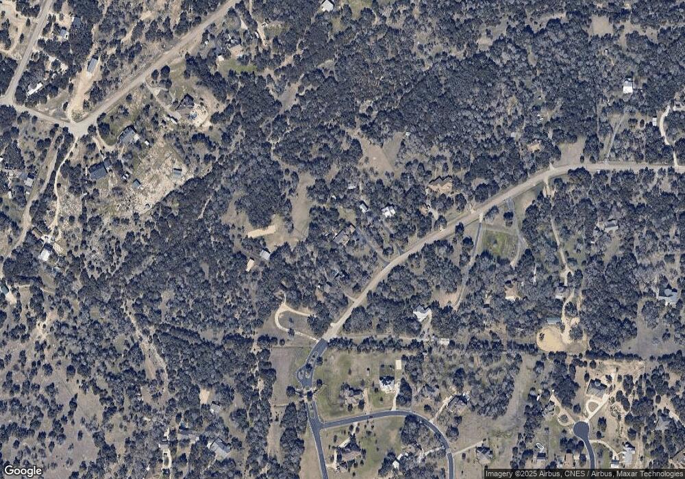
3284 Firethorn Path Spring Branch, TX 78070
Estimated Value: $682,000 - $698,566
4
Beds
2
Baths
2,575
Sq Ft
$267/Sq Ft
Est. Value
About This Home
This home is located at 3284 Firethorn Path, Spring Branch, TX 78070 and is currently estimated at $688,189, approximately $267 per square foot. 3284 Firethorn Path is a home located in Comal County with nearby schools including Arlon R Seay Elementary School, Spring Branch Middle School, and Smithson Valley High School.
Ownership History
Date
Name
Owned For
Owner Type
Purchase Details
Closed on
Mar 9, 2007
Sold by
Brigance Roger
Bought by
Fornicola Larry M and Fornicola Darlene C
Current Estimated Value
Home Financials for this Owner
Home Financials are based on the most recent Mortgage that was taken out on this home.
Original Mortgage
$224,000
Outstanding Balance
$135,584
Interest Rate
6.26%
Mortgage Type
Purchase Money Mortgage
Estimated Equity
$552,605
Create a Home Valuation Report for This Property
The Home Valuation Report is an in-depth analysis detailing your home's value as well as a comparison with similar homes in the area
Home Values in the Area
Average Home Value in this Area
Purchase History
| Date | Buyer | Sale Price | Title Company |
|---|---|---|---|
| Fornicola Larry M | -- | Fatco Sa |
Source: Public Records
Mortgage History
| Date | Status | Borrower | Loan Amount |
|---|---|---|---|
| Open | Fornicola Larry M | $224,000 |
Source: Public Records
Tax History Compared to Growth
Tax History
| Year | Tax Paid | Tax Assessment Tax Assessment Total Assessment is a certain percentage of the fair market value that is determined by local assessors to be the total taxable value of land and additions on the property. | Land | Improvement |
|---|---|---|---|---|
| 2025 | $4,898 | $582,569 | -- | -- |
| 2024 | $4,898 | $529,608 | -- | -- |
| 2023 | $4,898 | $481,462 | $0 | $0 |
| 2022 | $4,978 | $437,693 | -- | -- |
| 2021 | $7,088 | $429,050 | $178,200 | $250,850 |
| 2020 | $6,702 | $361,730 | $126,000 | $235,730 |
| 2019 | $7,112 | $374,690 | $126,000 | $248,690 |
| 2018 | $6,782 | $365,290 | $126,000 | $239,290 |
| 2017 | $6,116 | $325,670 | $69,340 | $256,330 |
| 2016 | $5,858 | $311,930 | $69,340 | $242,590 |
| 2015 | $4,408 | $304,340 | $69,340 | $235,000 |
| 2014 | $4,408 | $301,520 | $77,040 | $224,480 |
Source: Public Records
Map
Nearby Homes
- 174 Lantana Gold
- 175 Lantana Cerro
- 2785 Firethorn Path
- 463 Lantana Mesa
- 1337 Valley Springs Dr
- 2471 Rolling River View
- 1790 Springwood Dr
- 520 Lantana Ridge
- 378 Lantana Crossing
- 1291 Mossy Hollow
- 1411 Driftwood Ridge
- 1191 Mossy Hollow
- 1191 Mossy Hollow Rd
- 1310 Springwood Dr
- 201 Yucca Canyon
- 5070 Spring Branch Rd
- 1390 Misty Ln
- 5250 Spring Branch Rd
- 1491 Deep Water Dr
- 1005 Deep Water Dr
- 3312 Firethorn Path
- 3244 Firethorn Path
- 3346 Firethorn Path
- 3191 Firethorn Path
- 3196 Firethorn Path
- 131 Lantana Ridge
- 115 Lantana Ridge
- 115 Lantana Ridge Unit 2
- 3141 Firethorn Path
- 143 Lantana Ridge
- 23 Lantana Ridge
- 0 Lantana Ridge Unit 759479
- 0 Lantana Ridge Unit 855261
- 0 Lantana Ridge Unit 1058021
- 0 (Lot 4) Lantana Ridge
- 0 Lantana Ridge Unit 203076
- 959 Wagon Wheel Dr
- 155 Lantana Ridge
- 3080 Firethorn Path
- 135 Lantana Ridge
