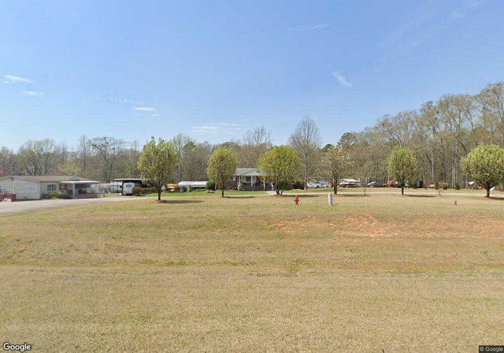
3285 N Highway 27 Carrollton, GA 30117
Estimated Value: $343,808 - $399,000
3
Beds
2
Baths
2,112
Sq Ft
$177/Sq Ft
Est. Value
About This Home
This home is located at 3285 N Highway 27, Carrollton, GA 30117 and is currently estimated at $373,952, approximately $177 per square foot. 3285 N Highway 27 is a home located in Carroll County with nearby schools including Mt. Zion Elementary School, Mt. Zion Middle School, and Mt. Zion High School.
Ownership History
Date
Name
Owned For
Owner Type
Purchase Details
Closed on
Oct 29, 2024
Sold by
Harmon Emily A
Bought by
Mcdermott Emily
Current Estimated Value
Purchase Details
Closed on
May 23, 2019
Sold by
Harmon Gabriel R
Bought by
Harmon Emily A
Purchase Details
Closed on
Apr 26, 2019
Sold by
Harmon Gabriel R
Bought by
Harmon Gabriel R and Harmon Emily A
Purchase Details
Closed on
Jan 26, 2018
Sold by
Dean Milford C
Bought by
Harmon Gabriel R
Home Financials for this Owner
Home Financials are based on the most recent Mortgage that was taken out on this home.
Original Mortgage
$156,000
Interest Rate
3.99%
Mortgage Type
New Conventional
Purchase Details
Closed on
Dec 20, 2016
Sold by
Simmons Kim Renee Milford
Bought by
Milford C Dean
Purchase Details
Closed on
Sep 4, 1988
Bought by
Milford Dean
Create a Home Valuation Report for This Property
The Home Valuation Report is an in-depth analysis detailing your home's value as well as a comparison with similar homes in the area
Home Values in the Area
Average Home Value in this Area
Purchase History
| Date | Buyer | Sale Price | Title Company |
|---|---|---|---|
| Mcdermott Emily | -- | -- | |
| Harmon Emily A | -- | -- | |
| Harmon Gabriel R | -- | -- | |
| Harmon Gabriel R | $195,000 | -- | |
| Milford C Dean | -- | -- | |
| Milford Dean | -- | -- |
Source: Public Records
Mortgage History
| Date | Status | Borrower | Loan Amount |
|---|---|---|---|
| Previous Owner | Harmon Gabriel R | $156,000 |
Source: Public Records
Tax History Compared to Growth
Tax History
| Year | Tax Paid | Tax Assessment Tax Assessment Total Assessment is a certain percentage of the fair market value that is determined by local assessors to be the total taxable value of land and additions on the property. | Land | Improvement |
|---|---|---|---|---|
| 2024 | $3,351 | $148,128 | $15,098 | $133,030 |
| 2023 | $3,351 | $132,981 | $12,079 | $120,902 |
| 2022 | $2,544 | $101,447 | $4,397 | $97,050 |
| 2021 | $2,223 | $86,711 | $3,517 | $83,194 |
| 2020 | $1,961 | $76,394 | $3,198 | $73,196 |
| 2019 | $1,821 | $70,352 | $3,198 | $67,154 |
| 2018 | $1,250 | $47,605 | $2,780 | $44,825 |
| 2017 | $294 | $47,605 | $2,780 | $44,825 |
| 2016 | $295 | $47,605 | $2,780 | $44,825 |
| 2015 | $297 | $43,278 | $5,380 | $37,899 |
| 2014 | $299 | $43,279 | $5,380 | $37,899 |
Source: Public Records
Map
Nearby Homes
- 00 Hog Liver Rd Unit 346
- 0 Hog Liver Rd Unit 148331
- 0 Hog Liver Rd Unit 10630257
- 0 Hog Liver Rd Unit 7671087
- 0 Hog Liver Rd Unit 10614601
- 0 Hog Liver Rd Unit 10630818
- 0 Hwy 27 N
- 2990 N Highway 27
- 676 Hog Liver Rd
- 77 Little River Rd
- 266 Lambert Overlook Cir
- The Thomas 2 Plan at Lambert Overlook
- The Thomas Plan at Lambert Overlook
- The Brook Plan at Lambert Overlook
- 50 Green Acres Dr
- 0000 Hog Liver Rd
- 174 Katie Ln
- 2464 N 27 Highway & Bagwell Rd
- 102 Buell Jones Rd
- 45 Buell Jones Rd
- 3303 N Highway 27
- 3267 Us Highway 27
- 3267 N Highway 27
- 3323 N Highway 27
- 0 N Highway 27 Unit 2368364
- 0 N Highway 27 Unit 8117401
- 0 N Highway 27 Unit 8143346
- 0 N Highway 27 Unit 230 7055675
- 0 N Highway 27
- 0 N Highway 27 Unit 8730816
- 0 N Highway 27 Unit 7543663
- 0 N Highway 27 Unit 7517085
- 0 N Highway 27 Unit 7269287
- 0 N Highway 27 Unit 7172409
- 0 N Highway 27 Unit 7355024
- 0 N Highway 27 Unit 7250625
- 0 N Highway 27 Unit 7101612
- 0 N Highway 27 Unit 7067567
- 0 N Highway 27 Unit 7404329
- 0 N Highway 27 Unit 8808660