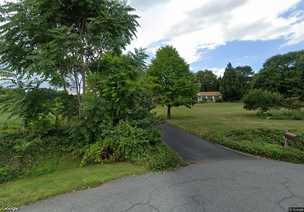
3286 Nutmeg Ct Adamstown, MD 21710
Estimated Value: $560,000 - $680,000
--
Bed
3
Baths
2,344
Sq Ft
$257/Sq Ft
Est. Value
About This Home
This home is located at 3286 Nutmeg Ct, Adamstown, MD 21710 and is currently estimated at $603,340, approximately $257 per square foot. 3286 Nutmeg Ct is a home located in Frederick County with nearby schools including Carroll Manor Elementary School, Ballenger Creek Middle School, and Tuscarora High School.
Ownership History
Date
Name
Owned For
Owner Type
Purchase Details
Closed on
Aug 12, 2002
Sold by
Schott Brad J and Schott Karen E
Bought by
Stouffer Ronald E and Stouffer Sharon M
Current Estimated Value
Purchase Details
Closed on
Nov 17, 1998
Sold by
Kolb Virginia M
Bought by
Schott Brad J and Schott Karen E
Purchase Details
Closed on
Nov 21, 1984
Sold by
M. S & M Dev & Const Corp
Bought by
Kolb Virginia M
Home Financials for this Owner
Home Financials are based on the most recent Mortgage that was taken out on this home.
Original Mortgage
$13,200
Interest Rate
13.63%
Create a Home Valuation Report for This Property
The Home Valuation Report is an in-depth analysis detailing your home's value as well as a comparison with similar homes in the area
Home Values in the Area
Average Home Value in this Area
Purchase History
| Date | Buyer | Sale Price | Title Company |
|---|---|---|---|
| Stouffer Ronald E | $285,000 | -- | |
| Schott Brad J | $195,000 | -- | |
| Kolb Virginia M | $23,000 | -- |
Source: Public Records
Mortgage History
| Date | Status | Borrower | Loan Amount |
|---|---|---|---|
| Previous Owner | Kolb Virginia M | $13,200 | |
| Closed | Schott Brad J | -- |
Source: Public Records
Tax History Compared to Growth
Tax History
| Year | Tax Paid | Tax Assessment Tax Assessment Total Assessment is a certain percentage of the fair market value that is determined by local assessors to be the total taxable value of land and additions on the property. | Land | Improvement |
|---|---|---|---|---|
| 2025 | $4,718 | $403,000 | -- | -- |
| 2024 | $4,718 | $377,400 | $105,900 | $271,500 |
| 2023 | $4,443 | $369,800 | $0 | $0 |
| 2022 | $4,355 | $362,200 | $0 | $0 |
| 2021 | $4,266 | $354,600 | $105,900 | $248,700 |
| 2020 | $4,266 | $354,600 | $105,900 | $248,700 |
| 2019 | $4,266 | $354,600 | $105,900 | $248,700 |
| 2018 | $4,310 | $355,100 | $105,900 | $249,200 |
| 2017 | $4,187 | $355,100 | $0 | $0 |
| 2016 | $4,454 | $340,433 | $0 | $0 |
| 2015 | $4,454 | $333,100 | $0 | $0 |
| 2014 | $4,454 | $333,100 | $0 | $0 |
Source: Public Records
Map
Nearby Homes
- 6816 Buckingham Ln
- 7106 Downing St
- 0 Michaels Mill Rd
- 6216 Manor Woods Rd
- 7119 Michaels Mill Rd
- 2684 Lydia Ct
- 5798 Morland Dr N
- 5880 Union Ridge Dr
- 2305 Mount Ephraim Rd
- 7403 Bear Branch Rd
- 3913 Baker Valley Rd
- 2735 Tuscarora St
- 5523 Modly Ct
- 2731 Tuscarora St
- Adamstown Plan at The Enclave at Carrollton Manor
- Macon II Plan at The Enclave at Carrollton Manor
- Fayetteville Plan at The Enclave at Carrollton Manor
- Oban Plan at The Enclave at Carrollton Manor
- 000 Modly Ct
- 00 Modly Ct
- 3288 Nutmeg Ct
- 3290 Nutmeg Ct
- 3291 Nutmeg Ct
- 3294 Nutmeg Ct
- 3295 Nutmeg Ct
- 3301 Paprika Ct
- 3305 Paprika Ct
- 6790 Stonewall Ct W
- 6786 Stonewall Ct W
- 6794 Stonewall Ct W
- 3300 Paprika Ct
- 3302 Paprika Ct
- 6782 Stonewall Ct W
- 6798 Stonewall Ct W
- 3311 Paprika Ct
- 3308 Paprika Ct
- 3306 Paprika Ct
- 6780 Stonewall Ct W
- 6795 Stonewall Ct W
- 6791 Stonewall Ct W