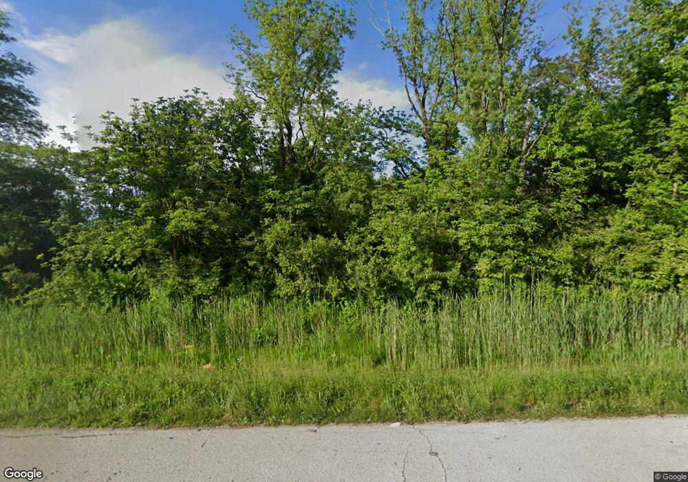
3289 E State Route 29 Unit 1 Springfield, IL 62712
Estimated Value: $246,564 - $303,000
--
Bed
--
Bath
--
Sq Ft
2.95
Acres
About This Home
This home is located at 3289 E State Route 29 Unit 1, Springfield, IL 62712 and is currently estimated at $273,141. 3289 E State Route 29 Unit 1 is a home located in Sangamon County with nearby schools including Rochester Elementary Ec-1 School, Rochester Elementary School, and Rochester Intermediate School.
Ownership History
Date
Name
Owned For
Owner Type
Purchase Details
Closed on
Jun 6, 2017
Sold by
Adams Charles E
Bought by
Mcdonald Courtney B and Mcdonald Brad C
Current Estimated Value
Home Financials for this Owner
Home Financials are based on the most recent Mortgage that was taken out on this home.
Original Mortgage
$168,000
Outstanding Balance
$135,620
Interest Rate
2.99%
Mortgage Type
New Conventional
Estimated Equity
$137,521
Purchase Details
Closed on
Sep 29, 2012
Purchase Details
Closed on
Aug 14, 1996
Create a Home Valuation Report for This Property
The Home Valuation Report is an in-depth analysis detailing your home's value as well as a comparison with similar homes in the area
Home Values in the Area
Average Home Value in this Area
Purchase History
| Date | Buyer | Sale Price | Title Company |
|---|---|---|---|
| Mcdonald Courtney B | $125,000 | Way Law Offices Llc | |
| -- | -- | -- | |
| -- | -- | -- |
Source: Public Records
Mortgage History
| Date | Status | Borrower | Loan Amount |
|---|---|---|---|
| Open | Mcdonald Courtney B | $168,000 |
Source: Public Records
Tax History Compared to Growth
Tax History
| Year | Tax Paid | Tax Assessment Tax Assessment Total Assessment is a certain percentage of the fair market value that is determined by local assessors to be the total taxable value of land and additions on the property. | Land | Improvement |
|---|---|---|---|---|
| 2024 | $3,821 | $63,175 | $21,650 | $41,525 |
| 2023 | $3,737 | $60,006 | $20,564 | $39,442 |
| 2022 | $3,583 | $56,819 | $19,472 | $37,347 |
| 2021 | $3,431 | $54,549 | $18,694 | $35,855 |
| 2020 | $3,364 | $53,849 | $18,454 | $35,395 |
| 2019 | $3,307 | $54,202 | $18,575 | $35,627 |
| 2018 | $3,279 | $53,333 | $18,277 | $35,056 |
| 2017 | $3,562 | $51,609 | $18,084 | $33,525 |
| 2016 | $2,695 | $49,922 | $17,493 | $32,429 |
| 2015 | $2,674 | $49,472 | $17,335 | $32,137 |
| 2014 | $2,819 | $60,518 | $17,208 | $43,310 |
| 2013 | $2,778 | $40,048 | $11,425 | $28,623 |
Source: Public Records
Map
Nearby Homes
- 2604 Warrior Blvd
- 3700 Viking Blvd
- 66 White Birch Rd
- 28 Red Oak Ln
- 2920 S Grand Ave E
- 0 Eastdale Unit CA1003405
- 2722 Walter Rd
- 1119 Knoll Pointe Place
- 1201 Knoll Pointe Place
- 1222 Knoll Pointe Place
- 1200 Knoll Pointe Place
- 1118 Knoll Pointe Place
- 1105 Knoll Pointe Place
- 741 Eastdale
- 721 Eastdale
- 701 E Dale Ave
- 1813 Greentree Rd
- 2906 Taylor Ave Unit 11
- 2900 Taylor Ave Unit 2
- 2842 S Grand Ave E
- 3250 E State Route 29 Unit 1
- 3437 Tuxhorn Rd
- 3431 Tuxhorn Rd
- 3475 Tuxhorn Rd
- 3415 Tuxhorn Rd
- 3438 Illinois 29
- 3427 Tuxhorn Rd Unit 1
- 3436 Tuxhorn Rd
- 3623 Tuxhorn Rd
- 3505 Tuxhorn Rd
- 3430 Tuxhorn Rd
- 3426 Tuxhorn Rd
- 3535 Tuxhorn Rd
- 3422 Tuxhorn Rd Unit 1
- 3614 Tuxhorn Rd
- 3502 E State Route 29 Unit 1
- 3655 Tuxhorn Rd
- 3656 Tuxhorn Rd
- 3532 Illinois 29
- 3532 E State Route 29
