3289 Mcafee Rd Wooster, OH 44691
Estimated Value: $423,000 - $600,331
3
Beds
2
Baths
4,588
Sq Ft
$112/Sq Ft
Est. Value
About This Home
This home is located at 3289 Mcafee Rd, Wooster, OH 44691 and is currently estimated at $511,666, approximately $111 per square foot. 3289 Mcafee Rd is a home located in Wayne County with nearby schools including Northwestern Elementary School, Northwestern Middle School, and Northwestern High School.
Ownership History
Date
Name
Owned For
Owner Type
Purchase Details
Closed on
Oct 1, 2003
Sold by
Jenkins David G and Jenkins Marthajean J
Bought by
Capela Dale C and Capela Lydia N
Current Estimated Value
Home Financials for this Owner
Home Financials are based on the most recent Mortgage that was taken out on this home.
Original Mortgage
$300,000
Interest Rate
6.4%
Mortgage Type
Purchase Money Mortgage
Create a Home Valuation Report for This Property
The Home Valuation Report is an in-depth analysis detailing your home's value as well as a comparison with similar homes in the area
Home Values in the Area
Average Home Value in this Area
Purchase History
| Date | Buyer | Sale Price | Title Company |
|---|---|---|---|
| Capela Dale C | $337,000 | -- |
Source: Public Records
Mortgage History
| Date | Status | Borrower | Loan Amount |
|---|---|---|---|
| Closed | Capela Dale C | $300,000 |
Source: Public Records
Tax History Compared to Growth
Tax History
| Year | Tax Paid | Tax Assessment Tax Assessment Total Assessment is a certain percentage of the fair market value that is determined by local assessors to be the total taxable value of land and additions on the property. | Land | Improvement |
|---|---|---|---|---|
| 2024 | $3,806 | $119,940 | $27,110 | $92,830 |
| 2023 | $3,806 | $119,940 | $27,110 | $92,830 |
| 2022 | $4,081 | $119,940 | $27,110 | $92,830 |
| 2021 | $4,089 | $119,940 | $27,110 | $92,830 |
| 2020 | $4,138 | $119,940 | $27,110 | $92,830 |
| 2019 | $3,858 | $103,610 | $24,290 | $79,320 |
| 2018 | $3,774 | $103,610 | $24,290 | $79,320 |
| 2017 | $3,742 | $103,610 | $24,290 | $79,320 |
| 2016 | $3,686 | $96,550 | $17,230 | $79,320 |
| 2015 | $3,419 | $91,250 | $17,230 | $74,020 |
| 2014 | $3,461 | $91,250 | $17,230 | $74,020 |
| 2013 | $3,493 | $91,290 | $15,280 | $76,010 |
Source: Public Records
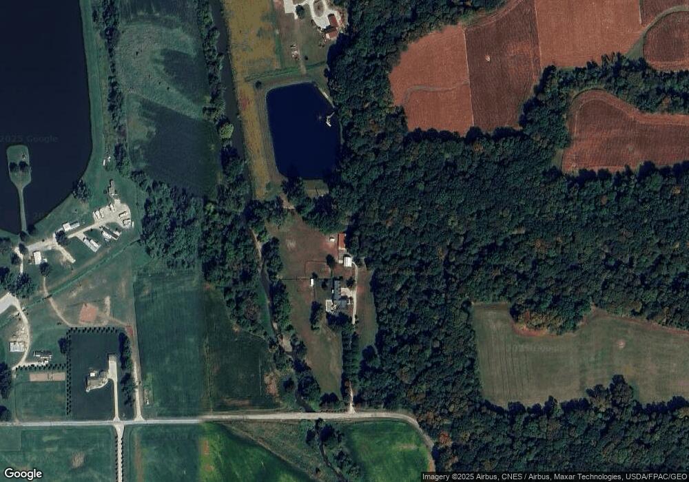
Map
Nearby Homes
- 3303 W Smithville Western Rd
- 3283 W Smithville Western Rd
- 5167 Overton Rd
- 4975 Clearcreek Valley Rd
- 3094 Briarwood Dr
- 3125 Henderson Rd
- 0 W Smithville Western Rd
- 1467 Hunt Club Dr
- 1177 Church Hill Ct
- V/L #3 Rice Hill Rd
- V/L #11 Rice Hill Rd
- V/L #5 Rice Hill Rd
- V/L #1 Rice Hill Rd
- V/L #4 Rice Hill Rd
- V/L #2 Rice Hill Rd
- V/L #6 Rice Hill Rd
- V/L #7 Rice Hill Rd
- V/L #13 Rice Hill Rd
- V/L #10 Rice Hill Rd
- V/L #8 Rice Hill Rd
- 3327 Mcafee Rd
- 3333 Mcafee Rd
- 3355 Mcafee Rd
- 4366 Overton Rd
- 3570 W Smithville Western Rd
- 4355 W Smithville Western Rd
- 3435 W Smithville Western Rd
- 0 Mcafee Rd
- 3385 W Smithville Western Rd
- 4686 Overton Rd
- 4188 W Smithville Western Rd
- 3018 W Smithville Western Rd
- 4907 Overton Rd
- 3191 W Smithville Western Rd
- 4067 W Smithville Western Rd
- 4184 W Smithville Western Rd
- 3153 W Smithville Western Rd
- 3431 Mcafee Rd
- 4934 Overton Rd
- 4174 W Smithville Western Rd