Estimated Value: $352,000
4
Beds
2
Baths
2,601
Sq Ft
$135/Sq Ft
Est. Value
About This Home
This home is located at 329 Airport Rd, Perry, GA 31069 and is currently priced at $352,000, approximately $135 per square foot. 329 Airport Rd is a home located in Houston County with nearby schools including Langston Road Elementary School, Perry Middle School, and Perry High School.
Ownership History
Date
Name
Owned For
Owner Type
Purchase Details
Closed on
Aug 30, 2022
Sold by
Paschal Muse Jr David
Bought by
Muse Family Limited Liability Lp
Current Estimated Value
Purchase Details
Closed on
Aug 11, 2006
Sold by
Muse Michelle Lynn
Bought by
Muse David Paschal
Home Financials for this Owner
Home Financials are based on the most recent Mortgage that was taken out on this home.
Original Mortgage
$217,950
Interest Rate
6.74%
Mortgage Type
New Conventional
Purchase Details
Closed on
May 11, 2001
Bought by
Muse David Paschal and Michelle Ly
Create a Home Valuation Report for This Property
The Home Valuation Report is an in-depth analysis detailing your home's value as well as a comparison with similar homes in the area
Home Values in the Area
Average Home Value in this Area
Purchase History
| Date | Buyer | Sale Price | Title Company |
|---|---|---|---|
| Muse Family Limited Liability Lp | -- | -- | |
| Muse David Paschal | -- | None Available | |
| Muse David Paschal | -- | -- |
Source: Public Records
Mortgage History
| Date | Status | Borrower | Loan Amount |
|---|---|---|---|
| Previous Owner | Muse David Paschal | $217,950 |
Source: Public Records
Tax History Compared to Growth
Tax History
| Year | Tax Paid | Tax Assessment Tax Assessment Total Assessment is a certain percentage of the fair market value that is determined by local assessors to be the total taxable value of land and additions on the property. | Land | Improvement |
|---|---|---|---|---|
| 2022 | $2,070 | $87,640 | $28,240 | $59,400 |
| 2021 | $1,676 | $71,000 | $16,840 | $54,160 |
| 2020 | $1,657 | $69,880 | $14,680 | $55,200 |
| 2019 | $1,657 | $69,880 | $14,680 | $55,200 |
| 2018 | $1,657 | $69,880 | $14,680 | $55,200 |
| 2017 | $1,658 | $69,880 | $14,680 | $55,200 |
| 2016 | $1,710 | $69,880 | $14,680 | $55,200 |
| 2015 | $1,512 | $61,680 | $16,880 | $44,800 |
| 2014 | -- | $61,680 | $16,880 | $44,800 |
| 2013 | -- | $61,680 | $16,880 | $44,800 |
Source: Public Records
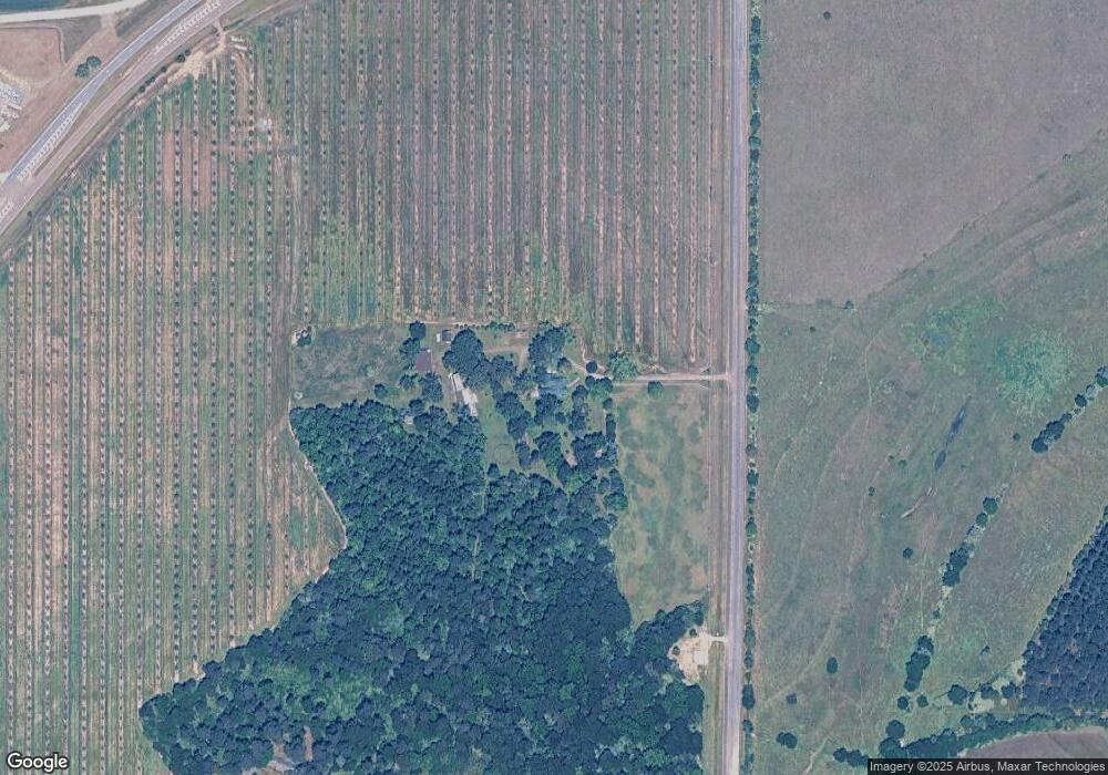
Map
Nearby Homes
- 0 Airport Rd Unit 250304
- 2XX Airport Rd
- 0 N Highway 341 Unit 1522479
- 902 Quail Ridge Ln
- 1801 Quail Ridge Ln
- 1802 Quail Ridge Ln
- 1803 Quail Ridge Ln
- 309 Charles Gray Blvd
- 103 Steeple Ct
- 216 S Houston Springs Blvd
- 214 S Houston Springs Blvd
- 102 Steeple Ct
- 205 S Houston Springs Blvd
- 310 Pebble Beach Dr
- 315 Pebble Beach Dr
- 312 Spyglass Hill Dr
- 142 Fairway Oaks Dr
- 145 Fairway Oaks Dr
- 124 Kenmore Cir
- 124 Kenmore Cir Unit 13
- 325 Airport Rd
- 329 N Airport Rd
- 2128 Us Highway 341 N
- 2118 Us Highway 341 N
- 1174 Perry Pkwy
- 2032 N Hwy 341
- 885 Perry Pkwy
- 2018 Us Highway 341 N
- 2018 Sam Nunn Blvd
- 649 Perry Pkwy
- 2006 Us Highway 341 N
- 2004 Us Highway 341 N
- 2003 Us Highway 341 N
- 104 Quail Ridge Ln
- 103 Quail Ridge Ln
- 000 Quail Ridge Ln
- 2604 Quail Ridge Ln
- 2603 Quail Ridge Ln
- 2504 Quail Ridge Ln
- 2001 Us Highway 341 N