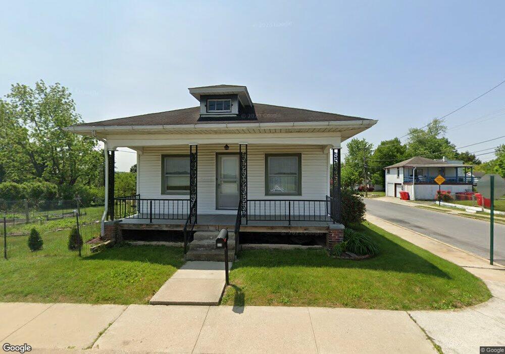
329 Berks St Pottstown, PA 19464
Estimated Value: $236,000 - $247,813
2
Beds
1
Bath
972
Sq Ft
$249/Sq Ft
Est. Value
About This Home
This home is located at 329 Berks St, Pottstown, PA 19464 and is currently estimated at $241,953, approximately $248 per square foot. 329 Berks St is a home located in Montgomery County with nearby schools including Lower Pottsgrove Elementary School, Pottsgrove Middle School, and Pottsgrove Senior High School.
Ownership History
Date
Name
Owned For
Owner Type
Purchase Details
Closed on
Sep 26, 2022
Sold by
Kiper James I
Bought by
Kiper Debra
Current Estimated Value
Purchase Details
Closed on
Feb 24, 1999
Sold by
Carroll Patrick J and Carroll Cynthia A
Bought by
Kiper James I
Purchase Details
Closed on
Dec 11, 1998
Sold by
Federal Home Loan Mortgage Corporation
Bought by
Carroll Patrick J and Carroll Cynthia A
Purchase Details
Closed on
Mar 21, 1998
Sold by
Lopuski Edward C and Lopuski Joanne P
Bought by
Federal Home Loan Mortgage Corporation
Create a Home Valuation Report for This Property
The Home Valuation Report is an in-depth analysis detailing your home's value as well as a comparison with similar homes in the area
Home Values in the Area
Average Home Value in this Area
Purchase History
| Date | Buyer | Sale Price | Title Company |
|---|---|---|---|
| Kiper Debra | $160,000 | Heartland Abstract | |
| Kiper James I | $71,000 | -- | |
| Carroll Patrick J | $51,600 | -- | |
| Federal Home Loan Mortgage Corporation | $1,551 | -- |
Source: Public Records
Tax History Compared to Growth
Tax History
| Year | Tax Paid | Tax Assessment Tax Assessment Total Assessment is a certain percentage of the fair market value that is determined by local assessors to be the total taxable value of land and additions on the property. | Land | Improvement |
|---|---|---|---|---|
| 2025 | $3,728 | $77,600 | $40,420 | $37,180 |
| 2024 | $3,728 | $77,600 | $40,420 | $37,180 |
| 2023 | $3,610 | $77,600 | $40,420 | $37,180 |
| 2022 | $3,554 | $77,600 | $40,420 | $37,180 |
| 2021 | $3,502 | $77,600 | $40,420 | $37,180 |
| 2020 | $3,449 | $77,600 | $40,420 | $37,180 |
| 2019 | $3,431 | $77,600 | $40,420 | $37,180 |
| 2018 | $3,430 | $77,600 | $40,420 | $37,180 |
| 2017 | $3,419 | $77,600 | $40,420 | $37,180 |
| 2016 | $3,389 | $77,600 | $40,420 | $37,180 |
| 2015 | $3,272 | $77,600 | $40,420 | $37,180 |
| 2014 | $3,272 | $77,600 | $40,420 | $37,180 |
Source: Public Records
Map
Nearby Homes
- 160 Linden St Unit 69
- 104 Pulaski St
- 530 E Howard St
- 1036 Edgewood Dr
- 501 and 507 E Race St
- 334 Lemon St
- 8 Ryan St
- 703 Holly Dr
- 1209 Grosstown Rd
- 356 W Beech St Unit 160
- 601 W High St
- 377 Circle of Progress Dr
- 0 Ash St Unit PAMC2144590
- 1405 Old Glasgow St
- 536 & 538 W Vine St
- 666 Manatawny St
- 129 Rattlesnake Hill Rd
- 482 Manatawny St
- 443 Manatawny St
- 94 Random Rd