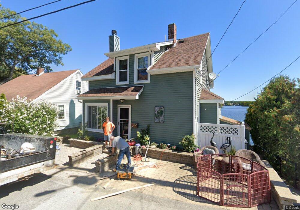
329 Bridle Path Worcester, MA 01604
Grafton Hill NeighborhoodEstimated Value: $346,000 - $527,000
2
Beds
1
Bath
1,005
Sq Ft
$411/Sq Ft
Est. Value
About This Home
This home is located at 329 Bridle Path, Worcester, MA 01604 and is currently estimated at $413,184, approximately $411 per square foot. 329 Bridle Path is a home located in Worcester County with nearby schools including Jacob Hiatt Magnet School, Chandler Magnet, and Lake View Elementary School.
Ownership History
Date
Name
Owned For
Owner Type
Purchase Details
Closed on
Jul 21, 2020
Sold by
Nelson Mark A
Bought by
Nelson Mark A and Nelson Gail N
Current Estimated Value
Home Financials for this Owner
Home Financials are based on the most recent Mortgage that was taken out on this home.
Original Mortgage
$114,400
Outstanding Balance
$90,644
Interest Rate
3.2%
Mortgage Type
New Conventional
Estimated Equity
$322,540
Purchase Details
Closed on
Aug 27, 1999
Sold by
Sibbald Gordon L
Bought by
Nelson Mark A and Nelson Lori J
Purchase Details
Closed on
Mar 31, 1997
Sold by
Crockett Paula C
Bought by
Sibbald Gordon L
Create a Home Valuation Report for This Property
The Home Valuation Report is an in-depth analysis detailing your home's value as well as a comparison with similar homes in the area
Home Values in the Area
Average Home Value in this Area
Purchase History
| Date | Buyer | Sale Price | Title Company |
|---|---|---|---|
| Nelson Mark A | -- | Misc Company | |
| Nelson Mark A | $115,000 | -- | |
| Sibbald Gordon L | $99,500 | -- |
Source: Public Records
Mortgage History
| Date | Status | Borrower | Loan Amount |
|---|---|---|---|
| Open | Nelson Mark A | $114,400 | |
| Previous Owner | Sibbald Gordon L | $21,700 | |
| Previous Owner | Sibbald Gordon L | $127,691 | |
| Previous Owner | Sibbald Gordon L | $125,000 |
Source: Public Records
Tax History
| Year | Tax Paid | Tax Assessment Tax Assessment Total Assessment is a certain percentage of the fair market value that is determined by local assessors to be the total taxable value of land and additions on the property. | Land | Improvement |
|---|---|---|---|---|
| 2025 | $4,809 | $364,565 | $147,065 | $217,500 |
| 2024 | $4,669 | $339,565 | $147,065 | $192,500 |
| 2023 | $4,414 | $307,787 | $125,487 | $182,300 |
| 2022 | $4,024 | $264,581 | $100,381 | $164,200 |
| 2021 | $3,774 | $231,792 | $80,292 | $151,500 |
| 2020 | $3,777 | $222,200 | $80,100 | $142,100 |
| 2019 | $3,746 | $208,100 | $78,600 | $129,500 |
| 2018 | $3,769 | $199,300 | $78,600 | $120,700 |
| 2017 | $3,646 | $189,700 | $78,600 | $111,100 |
| 2016 | $3,836 | $186,100 | $74,000 | $112,100 |
| 2015 | $3,735 | $186,100 | $74,000 | $112,100 |
| 2014 | $3,636 | $186,100 | $74,000 | $112,100 |
Source: Public Records
Map
Nearby Homes
- 365 Lake Ave
- 41 Modoc St
- 143 Commonwealth Ave
- 16-18 Fairfax St
- 496 Hamilton St
- 21 Middlesex Ave Unit 102
- Lot B Crawford St
- 19 Middlesex Ave
- 190 S Quinsigamond Ave Unit 102
- 62 Edgemere Blvd
- 12 Benham St
- 28 Nonquit St
- 63 Progressive St
- 241 Lake Ave
- 10 County St
- 360 Hamilton St
- 2 Salisbury St
- 15 Lakeside Dr
- 105 S Quinsigamond Ave
- 12 Brookside Place
- 327 Bridle Path Unit 2
- 327 Bridle Path Unit 1
- 335 Bridle Path
- 330 Bridle Path
- 12 Rogers Dr
- 323 Bridle Path
- 11 Stoddard Dr
- 337 Bridle Path
- 8 Rogers Dr
- 6 Wapiti Dr
- 7 Stoddard Dr
- 7 Rogers Dr
- 322 Bridle Path
- 6 Rogers Dr
- 12 Stoddard Dr
- 317 Bridle Path
- 5 Stoddard Dr
- 10 Stoddard Dr
- 4 Wapiti Dr
- 344 Bridle Path
Your Personal Tour Guide
Ask me questions while you tour the home.