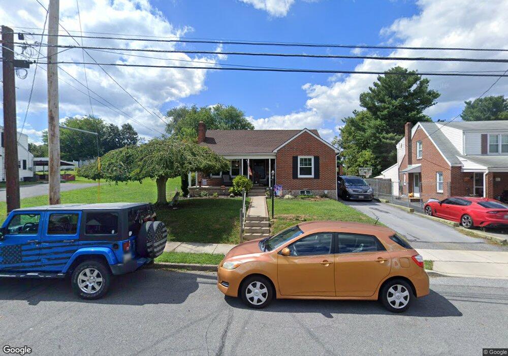
329 Devonshire Rd Hagerstown, MD 21740
West End NeighborhoodEstimated Value: $271,670 - $311,000
Studio
1
Bath
1,684
Sq Ft
$171/Sq Ft
Est. Value
About This Home
This home is located at 329 Devonshire Rd, Hagerstown, MD 21740 and is currently estimated at $288,668, approximately $171 per square foot. 329 Devonshire Rd is a home located in Washington County with nearby schools including Salem Avenue Elementary School, Western Heights Middle School, and South Hagerstown High School.
Ownership History
Date
Name
Owned For
Owner Type
Purchase Details
Closed on
Dec 3, 1997
Sold by
Brosius Phyllis S
Bought by
Petty Barry D and Taccino Cheryl L
Current Estimated Value
Purchase Details
Closed on
Oct 25, 1996
Sold by
Andrews Gregory L and Andrews Crystal L
Bought by
Brosius Phyllis S and Weagly Jean E
Purchase Details
Closed on
Dec 15, 1995
Sold by
Shaner Frances E
Bought by
Andrews Gregory L and Andrews Crystal L
Create a Home Valuation Report for This Property
The Home Valuation Report is an in-depth analysis detailing your home's value as well as a comparison with similar homes in the area
Home Values in the Area
Average Home Value in this Area
Purchase History
| Date | Buyer | Sale Price | Title Company |
|---|---|---|---|
| Petty Barry D | $91,850 | -- | |
| Brosius Phyllis S | $65,000 | -- | |
| Andrews Gregory L | $65,000 | -- |
Source: Public Records
Mortgage History
| Date | Status | Borrower | Loan Amount |
|---|---|---|---|
| Closed | Andrews Gregory L | -- |
Source: Public Records
Tax History
| Year | Tax Paid | Tax Assessment Tax Assessment Total Assessment is a certain percentage of the fair market value that is determined by local assessors to be the total taxable value of land and additions on the property. | Land | Improvement |
|---|---|---|---|---|
| 2025 | $1,879 | $230,800 | $45,900 | $184,900 |
| 2024 | $1,879 | $206,267 | $0 | $0 |
| 2023 | $1,663 | $181,733 | $0 | $0 |
| 2022 | $1,432 | $157,200 | $45,900 | $111,300 |
| 2021 | $1,418 | $154,767 | $0 | $0 |
| 2020 | $1,418 | $152,333 | $0 | $0 |
| 2019 | $1,402 | $149,900 | $45,900 | $104,000 |
| 2018 | $1,402 | $149,900 | $45,900 | $104,000 |
| 2017 | $1,402 | $149,900 | $0 | $0 |
| 2016 | -- | $153,000 | $0 | $0 |
| 2015 | -- | $149,900 | $0 | $0 |
| 2014 | $2,415 | $146,800 | $0 | $0 |
Source: Public Records
Map
Nearby Homes
- 325 Devonshire Rd
- 1111 Salem Ave
- 367 Devonshire Rd
- 1304 Salem Ave
- 314 Key Ave
- 201 Avon Rd
- 914 Salem Ave
- 446 Stratford Ave
- 321 W Side Ave
- 820 Salem Ave
- 1361 Connecticut Ave
- 1321 Marshall St
- 1006 Georgia Ave
- 259 Daycotah Ave
- 70 Nottingham Rd
- 212 Daycotah Ave
- 809 Florida Ave
- 217 Woodpoint Ave
- 351 Yorkshire Dr
- 320 Linganore Ave
- 333 Devonshire Rd
- 321 Devonshire Rd
- 337 Devonshire Rd
- 317 Devonshire Rd
- 341 Devonshire Rd
- 328 Nottingham Rd
- 313 Devonshire Rd
- 336 Nottingham Rd
- 320 Nottingham Rd
- 345 Devonshire Rd
- 347 Devonshire Rd
- 328 Devonshire Rd
- 336 Devonshire Rd
- 340 Nottingham Rd
- 324 Devonshire Rd
- 309 Devonshire Rd
- 338 Devonshire Rd
- 320 Devonshire Rd
- 312 Nottingham Rd
- 344 Nottingham Rd
Your Personal Tour Guide
Ask me questions while you tour the home.