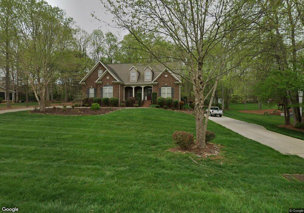
329 Longwood Dr Advance, NC 27006
Estimated Value: $487,000 - $602,000
3
Beds
3
Baths
2,687
Sq Ft
$202/Sq Ft
Est. Value
About This Home
This home is located at 329 Longwood Dr, Advance, NC 27006 and is currently estimated at $541,914, approximately $201 per square foot. 329 Longwood Dr is a home located in Davie County with nearby schools including Pinebrook Elementary School, North Davie Middle School, and Davie County High School.
Ownership History
Date
Name
Owned For
Owner Type
Purchase Details
Closed on
Nov 30, 2017
Sold by
Marlow Wendy H and Marlow Kevin A
Bought by
Pressley John Gary and Overman Jan Gardner
Current Estimated Value
Home Financials for this Owner
Home Financials are based on the most recent Mortgage that was taken out on this home.
Original Mortgage
$276,080
Outstanding Balance
$71,905
Interest Rate
3.94%
Mortgage Type
New Conventional
Estimated Equity
$470,009
Purchase Details
Closed on
Jan 30, 2015
Sold by
Sechrist Chris
Bought by
Sechrist Wendy D
Home Financials for this Owner
Home Financials are based on the most recent Mortgage that was taken out on this home.
Original Mortgage
$252,000
Interest Rate
3.81%
Mortgage Type
New Conventional
Purchase Details
Closed on
Oct 1, 2004
Purchase Details
Closed on
Aug 1, 2001
Create a Home Valuation Report for This Property
The Home Valuation Report is an in-depth analysis detailing your home's value as well as a comparison with similar homes in the area
Home Values in the Area
Average Home Value in this Area
Purchase History
| Date | Buyer | Sale Price | Title Company |
|---|---|---|---|
| Pressley John Gary | $345,500 | None Available | |
| Sechrist Wendy D | -- | None Available | |
| -- | $271,000 | -- | |
| -- | $38,500 | -- | |
| -- | -- | -- |
Source: Public Records
Mortgage History
| Date | Status | Borrower | Loan Amount |
|---|---|---|---|
| Open | Pressley John Gary | $276,080 | |
| Previous Owner | Sechrist Wendy D | $252,000 |
Source: Public Records
Tax History Compared to Growth
Tax History
| Year | Tax Paid | Tax Assessment Tax Assessment Total Assessment is a certain percentage of the fair market value that is determined by local assessors to be the total taxable value of land and additions on the property. | Land | Improvement |
|---|---|---|---|---|
| 2025 | $3,387 | $491,890 | $80,000 | $411,890 |
| 2024 | $3,077 | $398,100 | $36,000 | $362,100 |
| 2023 | $2,755 | $356,370 | $36,000 | $320,370 |
| 2022 | $2,755 | $356,370 | $36,000 | $320,370 |
| 2021 | $2,755 | $356,370 | $36,000 | $320,370 |
| 2020 | $2,637 | $339,010 | $36,000 | $303,010 |
| 2019 | $2,637 | $339,010 | $36,000 | $303,010 |
| 2018 | $2,638 | $339,010 | $36,000 | $303,010 |
| 2017 | $2,031 | $339,010 | $0 | $0 |
| 2016 | $2,082 | $271,040 | $0 | $0 |
| 2015 | $2,082 | $271,040 | $0 | $0 |
| 2014 | $1,789 | $271,040 | $0 | $0 |
| 2013 | -- | $271,040 | $0 | $0 |
Source: Public Records
Map
Nearby Homes
- 300 Redland Rd
- 290 Redland Rd
- Avery Plan at Redland
- Davidson Plan at Redland
- Cypress Plan at Redland
- Cooper Plan at Redland
- Sullivan Plan at Redland
- Wescott Plan at Redland
- 279 Redland Rd
- 271 Redland Rd
- 113 Longwood Dr
- 1270 Rainbow Rd
- 134 Baltimore Rd
- 4350 US Highway 158
- Davidson Plan at Fiddler's Ridge
- Avery Plan at Fiddler's Ridge
- Sullivan Plan at Fiddler's Ridge
- Cooper Plan at Fiddler's Ridge
- Colfax Plan at Fiddler's Ridge
- Atherton Plan at Fiddler's Ridge
- 317 Longwood Dr
- 339 Longwood Dr
- 332 Longwood Dr
- 347 Longwood Dr
- 305 Longwood Dr
- 314 Longwood Dr
- 349 Longwood Dr
- 205 Daye Ln
- 346 Longwood Dr
- 348 Longwood Dr
- 293 Longwood Dr
- 296 Longwood Dr
- 279 Longwood Dr
- 272 Longwood Dr
- 256 Longwood Dr
- 240 Longwood Dr
- 232 Longwood Dr
- 227 Longwood Dr
- 210 Riddle Cir
- 217 Longwood Dr