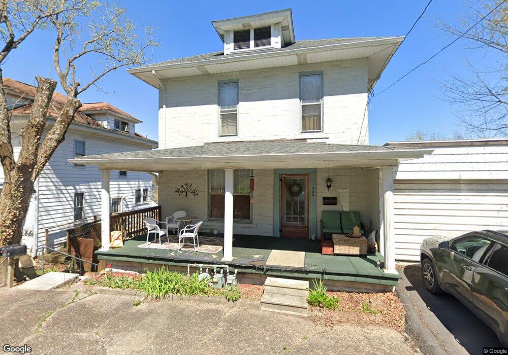
329 Maple Ave Morgantown, WV 26501
South Park NeighborhoodEstimated Value: $252,000 - $297,000
5
Beds
3
Baths
2,858
Sq Ft
$96/Sq Ft
Est. Value
About This Home
This home is located at 329 Maple Ave, Morgantown, WV 26501 and is currently estimated at $274,000, approximately $95 per square foot. 329 Maple Ave is a home located in Monongalia County with nearby schools including Mountainview Elementary School, South Middle School, and Morgantown High School.
Ownership History
Date
Name
Owned For
Owner Type
Purchase Details
Closed on
Sep 3, 2025
Sold by
Nardella Beth and Behnke Aaron
Bought by
Dos Gatos Properties Llc
Current Estimated Value
Purchase Details
Closed on
May 20, 2019
Sold by
Gordon Jeffrey D
Bought by
Nardella Beth and Behnke Aaron
Home Financials for this Owner
Home Financials are based on the most recent Mortgage that was taken out on this home.
Original Mortgage
$126,000
Interest Rate
4.2%
Mortgage Type
New Conventional
Create a Home Valuation Report for This Property
The Home Valuation Report is an in-depth analysis detailing your home's value as well as a comparison with similar homes in the area
Home Values in the Area
Average Home Value in this Area
Purchase History
| Date | Buyer | Sale Price | Title Company |
|---|---|---|---|
| Dos Gatos Properties Llc | -- | None Listed On Document | |
| Nardella Beth | $168,000 | None Available |
Source: Public Records
Mortgage History
| Date | Status | Borrower | Loan Amount |
|---|---|---|---|
| Previous Owner | Nardella Beth | $126,000 |
Source: Public Records
Tax History Compared to Growth
Tax History
| Year | Tax Paid | Tax Assessment Tax Assessment Total Assessment is a certain percentage of the fair market value that is determined by local assessors to be the total taxable value of land and additions on the property. | Land | Improvement |
|---|---|---|---|---|
| 2025 | $3,495 | $132,540 | $35,280 | $97,260 |
| 2024 | $3,495 | $132,540 | $35,280 | $97,260 |
| 2023 | $3,487 | $118,200 | $35,280 | $82,920 |
| 2022 | $2,974 | $116,640 | $35,220 | $81,420 |
| 2021 | $2,986 | $116,640 | $35,220 | $81,420 |
| 2020 | $2,996 | $116,640 | $35,220 | $81,420 |
| 2019 | $3,014 | $116,640 | $35,220 | $81,420 |
| 2018 | $3,021 | $116,640 | $35,220 | $81,420 |
| 2017 | $3,256 | $125,160 | $33,240 | $91,920 |
| 2016 | $3,197 | $122,280 | $30,360 | $91,920 |
| 2015 | $3,016 | $119,580 | $27,660 | $91,920 |
| 2014 | $2,443 | $100,620 | $24,720 | $75,900 |
Source: Public Records
Map
Nearby Homes
- 338 Jackson Ave
- 421 Ash St
- 422 Grand St
- 200 Logan Ave
- 417 Elm St
- 309 Green St
- 316 Dewey St
- 0 Buckhannon Ave
- 401 Conn St
- 200 Webster Ave
- 621 Elmina St
- TBD Charleston Ave
- TBD Huntington Ave
- 5 Maple Ave
- 301 E Brockway Ave
- 315 Nolan Ave
- 220 & 222 E Brockway Ave
- 629 Brockway Ave
- 265 Waitman St
- 975 Dorsey Ave