Estimated Value: $415,000 - $1,922,905
4
Beds
3
Baths
2,798
Sq Ft
$418/Sq Ft
Est. Value
About This Home
This home is located at 329 N Airport Rd, Perry, GA 31069 and is currently estimated at $1,168,953, approximately $417 per square foot. 329 N Airport Rd is a home with nearby schools including Langston Road Elementary School, Perry Middle School, and Perry High School.
Ownership History
Date
Name
Owned For
Owner Type
Purchase Details
Closed on
Nov 20, 2008
Sold by
Muse David P and Muse Sara M
Bought by
Muse Family Limited Liability Limited***
Current Estimated Value
Purchase Details
Closed on
Apr 22, 1994
Sold by
Northrop Corporation
Bought by
Muse Sara M
Purchase Details
Closed on
Sep 22, 1993
Sold by
Easement Of Right Of Way
Bought by
Muse Sara
Purchase Details
Closed on
May 23, 1989
Sold by
Right Of Way
Bought by
Muse Sara M
Purchase Details
Closed on
Dec 18, 1984
Sold by
Muse David P and Methvin Cynthia Muse
Bought by
Muse Sara M
Purchase Details
Closed on
Dec 1, 1972
Sold by
Muse Paschal
Bought by
Muse David P and Methvin Cynthia Muse
Create a Home Valuation Report for This Property
The Home Valuation Report is an in-depth analysis detailing your home's value as well as a comparison with similar homes in the area
Home Values in the Area
Average Home Value in this Area
Purchase History
| Date | Buyer | Sale Price | Title Company |
|---|---|---|---|
| Muse Family Limited Liability Limited*** | -- | -- | |
| Muse Sara M | $4,700 | -- | |
| Muse Sara | -- | -- | |
| Muse Sara M | -- | -- | |
| Muse Sara M | -- | -- | |
| Muse David P | -- | -- |
Source: Public Records
Tax History Compared to Growth
Tax History
| Year | Tax Paid | Tax Assessment Tax Assessment Total Assessment is a certain percentage of the fair market value that is determined by local assessors to be the total taxable value of land and additions on the property. | Land | Improvement |
|---|---|---|---|---|
| 2024 | $6,040 | $1,000,360 | $807,600 | $192,760 |
| 2023 | $2,766 | $795,520 | $728,120 | $67,400 |
| 2022 | $1,187 | $726,188 | $718,360 | $7,828 |
| 2021 | $1,239 | $487,920 | $477,040 | $10,880 |
| 2020 | $1,217 | $471,080 | $460,200 | $10,880 |
| 2019 | $1,190 | $471,080 | $460,200 | $10,880 |
| 2018 | $1,164 | $471,080 | $460,200 | $10,880 |
| 2017 | $1,140 | $471,080 | $460,200 | $10,880 |
| 2016 | $1,117 | $471,080 | $460,200 | $10,880 |
| 2015 | $897 | $463,000 | $460,200 | $2,800 |
| 2014 | -- | $463,000 | $460,200 | $2,800 |
| 2013 | -- | $463,000 | $460,200 | $2,800 |
Source: Public Records
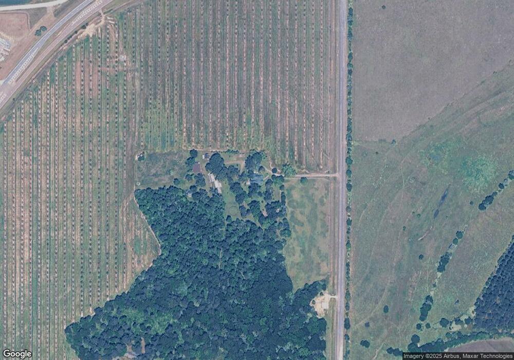
Map
Nearby Homes
- 902 Quail Ridge Ln
- 0 N Highway 341 Unit 1522479
- 1801 Quail Ridge Ln
- 1802 Quail Ridge Ln
- 1803 Quail Ridge Ln
- 214 S Houston Springs Blvd
- 216 S Houston Springs Blvd
- 205 S Houston Springs Blvd
- 310 Pebble Beach Dr
- 315 Pebble Beach Dr
- 103 Steeple Ct
- 312 Spyglass Hill Dr
- 309 Charles Gray Blvd
- 102 Steeple Ct
- 0 Airport Rd Unit 250304
- 2XX Airport Rd
- 142 Fairway Oaks Dr
- 145 Fairway Oaks Dr
- 124 Kenmore Cir
- 124 Kenmore Cir Unit 13
- 2118 Us Highway 341 N
- 325 Airport Rd
- 2032 N Hwy 341
- 2128 Us Highway 341 N
- 329 Airport Rd
- 2018 Sam Nunn Blvd
- 104 Quail Ridge Ln
- 103 Quail Ridge Ln
- 000 Quail Ridge Ln
- 2604 Quail Ridge Ln
- 2018 Us Highway 341 N
- 2603 Quail Ridge Ln
- 2504 Quail Ridge Ln
- 102 Quail Ridge Ln
- 101 Quail Ridge Ln
- 2602 Quail Ridge Ln
- 2503 Quail Ridge Ln
- 2006 Us Highway 341 N
- 2601 Quail Ridge Ln
- 2502 Quail Ridge Ln