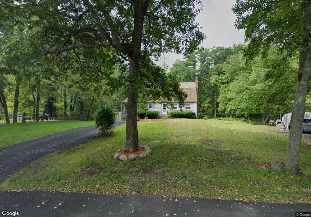
329 Phillips St Hanson, MA 02341
Estimated Value: $569,865 - $629,000
3
Beds
3
Baths
1,459
Sq Ft
$411/Sq Ft
Est. Value
About This Home
This home is located at 329 Phillips St, Hanson, MA 02341 and is currently estimated at $599,716, approximately $411 per square foot. 329 Phillips St is a home located in Plymouth County.
Ownership History
Date
Name
Owned For
Owner Type
Purchase Details
Closed on
Jun 13, 2023
Sold by
Palmer Maureen and Taylor Leland C
Bought by
Palmer Marc A and Palmer Michael L
Current Estimated Value
Purchase Details
Closed on
Mar 10, 2022
Sold by
Palmer Maureen
Bought by
Taylor Leland C and Palmer Maureen
Home Financials for this Owner
Home Financials are based on the most recent Mortgage that was taken out on this home.
Original Mortgage
$120,000
Interest Rate
3.92%
Mortgage Type
New Conventional
Create a Home Valuation Report for This Property
The Home Valuation Report is an in-depth analysis detailing your home's value as well as a comparison with similar homes in the area
Home Values in the Area
Average Home Value in this Area
Purchase History
| Date | Buyer | Sale Price | Title Company |
|---|---|---|---|
| Palmer Marc A | -- | None Available | |
| Palmer Marc A | -- | None Available | |
| Taylor Leland C | -- | None Available | |
| Taylor Leland C | -- | None Available |
Source: Public Records
Mortgage History
| Date | Status | Borrower | Loan Amount |
|---|---|---|---|
| Previous Owner | Taylor Leland C | $120,000 |
Source: Public Records
Tax History
| Year | Tax Paid | Tax Assessment Tax Assessment Total Assessment is a certain percentage of the fair market value that is determined by local assessors to be the total taxable value of land and additions on the property. | Land | Improvement |
|---|---|---|---|---|
| 2025 | $6,066 | $453,400 | $182,200 | $271,200 |
| 2024 | $5,945 | $444,300 | $176,900 | $267,400 |
| 2023 | $5,863 | $413,500 | $176,900 | $236,600 |
| 2022 | $5,642 | $373,900 | $160,800 | $213,100 |
| 2021 | $5,039 | $333,700 | $154,600 | $179,100 |
| 2020 | $4,964 | $325,100 | $149,400 | $175,700 |
| 2019 | $4,760 | $306,500 | $146,500 | $160,000 |
| 2018 | $4,703 | $297,100 | $140,900 | $156,200 |
| 2017 | $4,557 | $285,200 | $134,200 | $151,000 |
| 2016 | $4,614 | $278,800 | $134,200 | $144,600 |
| 2015 | $4,383 | $275,300 | $134,200 | $141,100 |
Source: Public Records
Map
Nearby Homes
- 80 Phillips St
- 72 Phillips St
- 361A County Rd
- 61 Sawmill Ln
- 61 Sawmill Ln Unit 61
- 361 County Rd
- 1054 Main St
- Lot 6 Way
- Lot 2 Harvard Rd
- 26 Franklin St
- 126-130 Franklin St
- 1754 Central St
- 161 Winter St Unit 11
- 84 Liberty St
- Lot 5 Princeton Way
- 170 Elm St
- 23 Bell Dr
- 134 Crescent St
- 23 Live Oak Way
- 724 Whitman St
- 343 Phillips St
- 311 Phillips St
- 314 Phillips St
- 330 Phillips St
- 346 Phillips St
- 357 Phillips St
- 295 Phillips St
- 296 Phillips St
- 358 Phillips St
- 281 Phillips St
- 375 Phillips St
- 376 Phillips St
- 269 Phillips St
- 286 Phillips St
- 390 Holmes St
- 462 Holmes St
- 384 Holmes St
- 395 Holmes St
- 376 Holmes St
- 249 Phillips St
Your Personal Tour Guide
Ask me questions while you tour the home.