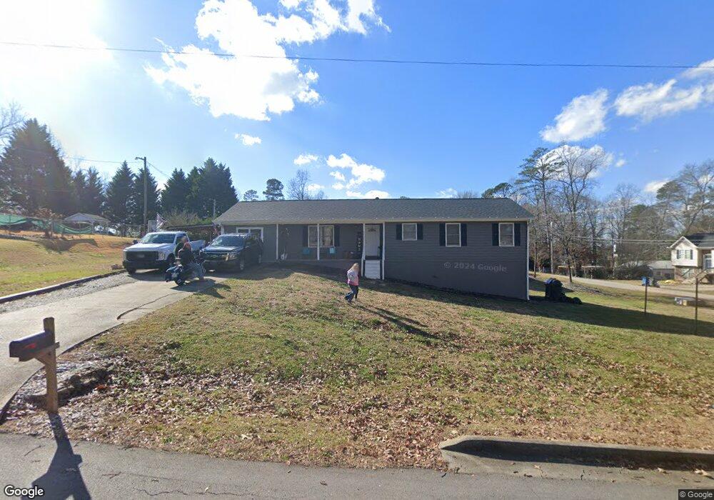
329 Pine L Dr Buford, GA 30518
Estimated Value: $359,000 - $414,000
3
Beds
2
Baths
1,526
Sq Ft
$256/Sq Ft
Est. Value
About This Home
This home is located at 329 Pine L Dr, Buford, GA 30518 and is currently estimated at $390,786, approximately $256 per square foot. 329 Pine L Dr is a home located in Gwinnett County with nearby schools including Buford Elementary School, Buford Senior Academy, and Buford Academy.
Ownership History
Date
Name
Owned For
Owner Type
Purchase Details
Closed on
Jul 30, 2019
Sold by
Duval Allison R
Bought by
Osborne Brian Keith and Osborne April Michelle
Current Estimated Value
Home Financials for this Owner
Home Financials are based on the most recent Mortgage that was taken out on this home.
Original Mortgage
$110,000
Outstanding Balance
$95,921
Interest Rate
3.7%
Mortgage Type
New Conventional
Estimated Equity
$294,866
Create a Home Valuation Report for This Property
The Home Valuation Report is an in-depth analysis detailing your home's value as well as a comparison with similar homes in the area
Home Values in the Area
Average Home Value in this Area
Purchase History
| Date | Buyer | Sale Price | Title Company |
|---|---|---|---|
| Osborne Brian Keith | $163,000 | -- |
Source: Public Records
Mortgage History
| Date | Status | Borrower | Loan Amount |
|---|---|---|---|
| Open | Osborne Brian Keith | $110,000 |
Source: Public Records
Tax History Compared to Growth
Map
Nearby Homes
- 304 E Jackson St
- 550 Gwinnett St
- 48 Stonehedge Ct
- 110 Shadburn Ferry Rd
- 4942 Greenard Watson Ln
- 4933 Greenard Watson Ln
- 185 Scott St
- 7307 William St
- 449 S Hill St
- 4817 Cooper Farm Dr
- 5789 Creek Indian Dr
- 575 Forest St
- 2020 Harvester Ln
- 1769 Rowland Pass
- 130 Legion Dr
- 490 Jackson St
- 1098 Caruso Dr
- 460 Espy St
- 570 Power Ave
- 345 W Moreno St
- 345 Pine L Dr
- 225 Pine L Dr
- 325 Pine L Dr
- 235 Pine L Dr
- 335 Pine L Dr NE
- 354 Pine L Dr
- 2232 Pine Lane Dr
- 215 Pine L Dr
- 206 Pine L Dr
- 245 Pine L Dr NE
- 34 Stonehedge Cir
- 335 Pine L Dr
- 32 Stonehedge Cir
- 36 Stonehedge Cir
- 312 Pine L Dr
- 365 Pine L Dr
- 285 Latimore Ave
- 205 Pine L Dr Unit 1
- 264 Latimore Ave
- 288 Hill St