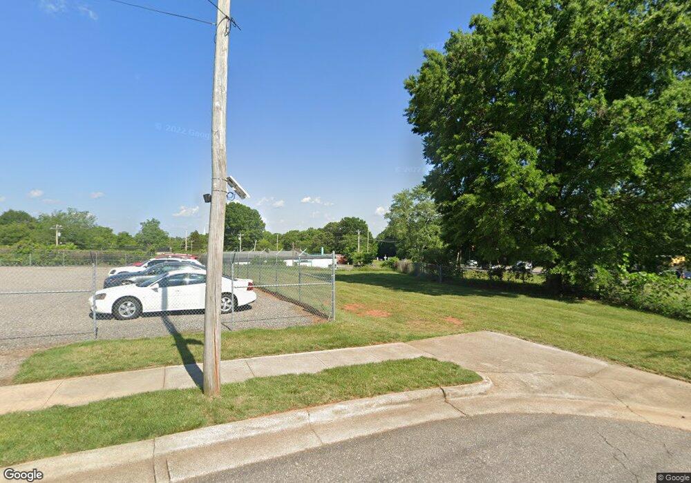
329 Security Dr Statesville, NC 28677
Estimated Value: $139,301 - $159,000
3
Beds
1
Bath
1,106
Sq Ft
$135/Sq Ft
Est. Value
About This Home
This home is located at 329 Security Dr, Statesville, NC 28677 and is currently estimated at $149,151, approximately $134 per square foot. 329 Security Dr is a home located in Iredell County with nearby schools including N.B. Mills Elementary School, West Iredell Middle School, and West Iredell High School.
Ownership History
Date
Name
Owned For
Owner Type
Purchase Details
Closed on
Dec 30, 2013
Sold by
Crosby Lisa
Bought by
Security Patrol Rlllp
Current Estimated Value
Purchase Details
Closed on
Jul 20, 2000
Sold by
Watt James Abernathy and Watt Lorene Skipper
Bought by
Crosby Earl and Crosby Lisa
Home Financials for this Owner
Home Financials are based on the most recent Mortgage that was taken out on this home.
Original Mortgage
$43,197
Interest Rate
8.3%
Purchase Details
Closed on
Jul 1, 1996
Purchase Details
Closed on
Jun 1, 1974
Bought by
Addison Edith T Heirs
Purchase Details
Closed on
Jun 1, 1964
Create a Home Valuation Report for This Property
The Home Valuation Report is an in-depth analysis detailing your home's value as well as a comparison with similar homes in the area
Home Values in the Area
Average Home Value in this Area
Purchase History
| Date | Buyer | Sale Price | Title Company |
|---|---|---|---|
| Security Patrol Rlllp | $90,000 | -- | |
| Crosby Earl | $45,000 | -- | |
| -- | $3,000 | -- | |
| Addison Edith T Heirs | -- | -- | |
| -- | $6,600 | -- |
Source: Public Records
Mortgage History
| Date | Status | Borrower | Loan Amount |
|---|---|---|---|
| Previous Owner | Crosby Earl | $43,197 | |
| Closed | Crosby Earl | $2,250 |
Source: Public Records
Tax History Compared to Growth
Tax History
| Year | Tax Paid | Tax Assessment Tax Assessment Total Assessment is a certain percentage of the fair market value that is determined by local assessors to be the total taxable value of land and additions on the property. | Land | Improvement |
|---|---|---|---|---|
| 2024 | $134 | $13,200 | $13,200 | $0 |
| 2023 | $194 | $13,200 | $13,200 | $0 |
| 2022 | $263 | $13,200 | $13,200 | $0 |
| 2021 | $319 | $13,200 | $13,200 | $0 |
| 2020 | $319 | $13,200 | $13,200 | $0 |
| 2019 | $318 | $13,200 | $13,200 | $0 |
| 2018 | $789 | $61,190 | $13,200 | $47,990 |
| 2017 | $776 | $61,190 | $13,200 | $47,990 |
| 2016 | $776 | $61,190 | $13,200 | $47,990 |
| 2015 | $626 | $61,190 | $13,200 | $47,990 |
| 2014 | $593 | $60,410 | $17,600 | $42,810 |
Source: Public Records
Map
Nearby Homes
- 1713 Forest Dr
- 50 S Miller Ave Unit A
- 50 S Miller Ave Unit B
- 2321 Cline St
- 328 N Miller Ave
- 1716 Younger Ave
- 127 Bristol Rd
- 1709 Younger Ave
- 417 Central Dr
- 407 Central Dr
- 612 Stewart Ct
- 2607 Moss Rd
- 214 H St
- 440 N Oakland Ave
- 1261 Elizabeth Ave
- 266 N Lackey St
- 541 Hedrick Dr
- 1245 Mitchell Ave
- 3 Williams Ave
- 133 Buffalo Shoals Rd
- 150 Woodlawn Dr
- 148 Woodlawn Dr
- 148 Woodlawn Dr Unit 46
- 153 Woodlawn Dr
- 1749 Newton Dr
- 151 Woodlawn Dr
- 146 Woodlawn Dr
- 146 Woodlawn Dr Unit 45
- 149 Woodlawn Dr
- 1720 Newton Dr
- 29082912 Newton Dr
- 144 Woodlawn Dr
- 144 Woodlawn Dr Unit 44
- 145 Woodlawn Dr
- 515 Park Dr
- 219 Security Dr
- 142 Woodlawn Dr
- 143 Woodlawn Dr
- 419 Woodlawn Dr
- 1747 Newton Dr
