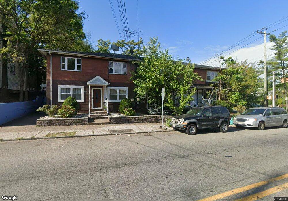
329 W Broadway Unit 335 Paterson, NJ 07522
Totowa Section NeighborhoodEstimated Value: $215,367 - $421,000
--
Bed
--
Bath
750
Sq Ft
$419/Sq Ft
Est. Value
About This Home
This home is located at 329 W Broadway Unit 335, Paterson, NJ 07522 and is currently estimated at $314,592, approximately $419 per square foot. 329 W Broadway Unit 335 is a home located in Passaic County with nearby schools including Edward W. Kilpatrick School of Discovery, Dale Avenue Elementary School, and Dr. Frank Napier, Jr. School of Technology.
Ownership History
Date
Name
Owned For
Owner Type
Purchase Details
Closed on
Jul 10, 1998
Sold by
Federal Home Loan Mortgage Corporation
Bought by
B P Investments Llc
Current Estimated Value
Purchase Details
Closed on
Dec 29, 1997
Sold by
Englehardt Edwin
Bought by
Federal Home Loan Mortgage Corporation
Home Financials for this Owner
Home Financials are based on the most recent Mortgage that was taken out on this home.
Original Mortgage
$50,468
Interest Rate
7.09%
Create a Home Valuation Report for This Property
The Home Valuation Report is an in-depth analysis detailing your home's value as well as a comparison with similar homes in the area
Home Values in the Area
Average Home Value in this Area
Purchase History
| Date | Buyer | Sale Price | Title Company |
|---|---|---|---|
| B P Investments Llc | $10,000 | -- | |
| Federal Home Loan Mortgage Corporation | -- | -- |
Source: Public Records
Mortgage History
| Date | Status | Borrower | Loan Amount |
|---|---|---|---|
| Previous Owner | Federal Home Loan Mortgage Corporation | $50,468 |
Source: Public Records
Tax History Compared to Growth
Tax History
| Year | Tax Paid | Tax Assessment Tax Assessment Total Assessment is a certain percentage of the fair market value that is determined by local assessors to be the total taxable value of land and additions on the property. | Land | Improvement |
|---|---|---|---|---|
| 2025 | $3,821 | $75,000 | $30,000 | $45,000 |
| 2024 | $3,677 | $75,000 | $30,000 | $45,000 |
| 2022 | $3,482 | $75,000 | $30,000 | $45,000 |
| 2021 | $3,357 | $75,000 | $30,000 | $45,000 |
| 2020 | $3,131 | $75,000 | $30,000 | $45,000 |
| 2019 | $3,026 | $73,200 | $29,200 | $44,000 |
| 2018 | $3,119 | $72,100 | $28,800 | $43,300 |
| 2017 | $2,970 | $71,400 | $28,500 | $42,900 |
| 2016 | $3,033 | $69,900 | $30,000 | $39,900 |
| 2015 | $2,871 | $69,900 | $30,000 | $39,900 |
| 2014 | -- | $100,000 | $59,500 | $40,500 |
Source: Public Records
Map
Nearby Homes
- 325-327 W Broadway
- 327 W Broadway
- 299 W Broadway
- 60 Laurel St Unit 64
- 3 Aberdeen Ct
- 274-282 W Broadway
- 274 W Broadway Unit 282
- 13 Garrison St
- 7 Garrison St Unit 2
- 202 Kearney St
- 116 Oxford St
- 21 N 9th St Unit 23
- 102 Oxford St
- 6 Doremus St
- 18-20 N 7th St
- 150 Redwood Ave
- 40-42 N 9th St
- 515 Union Ave
- 541 Union Ave
- 465 Union Ave
- 329 W Broadway Unit 9
- 329 W Broadway Unit 335
- 329 W Broadway Unit 335
- 329 W Broadway Unit 335
- 329 W Broadway Unit 335
- 329 W Broadway Unit 335
- 329 W Broadway Unit 335
- 329 W Broadway Unit 335
- 329 W Broadway Unit 335
- 329 W Broadway Unit 335
- 325 W Broadway Unit 327
- 323 W Broadway
- 319 W Broadway Unit 321
- 330 W Broadway Unit 332
- 334 W Broadway Unit 336
- 74 Burhans Ave Unit 76
- 72 Burhans Ave Unit 74
- 328 W Broadway
- 313 W Broadway Unit 317
- 68 Burhans Ave Unit 72