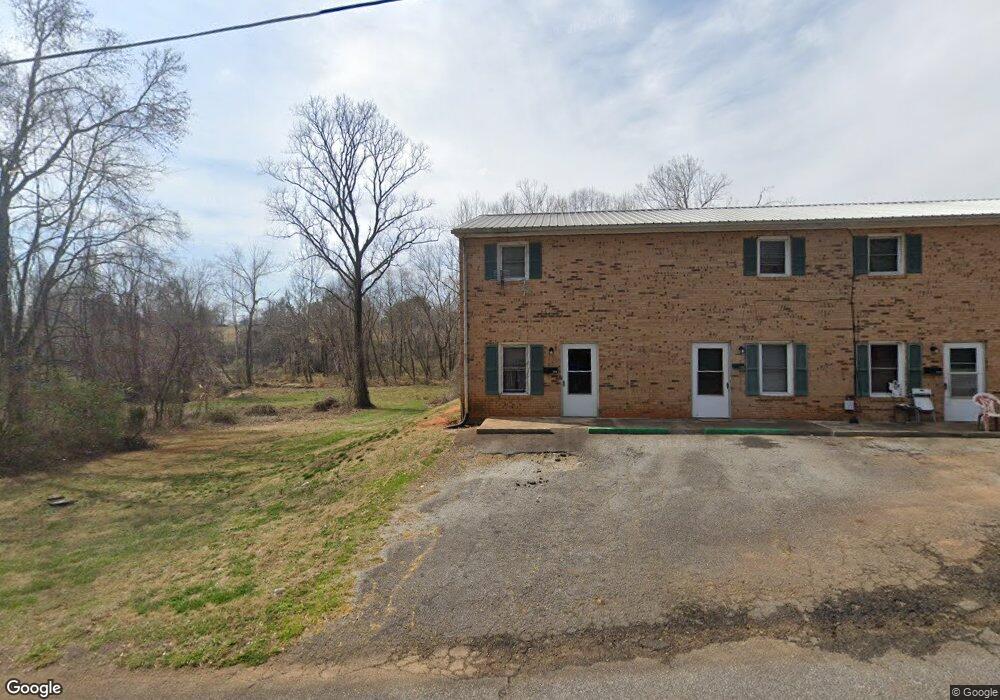
329 Wells Dr Forest City, NC 28043
Estimated Value: $369,438 - $374,000
8
Beds
4
Baths
200
Sq Ft
$1,859/Sq Ft
Est. Value
About This Home
This home is located at 329 Wells Dr, Forest City, NC 28043 and is currently estimated at $371,719, approximately $1,858 per square foot. 329 Wells Dr is a home located in Rutherford County with nearby schools including Forest City-Dunbar Elementary School, East Rutherford Middle School, and East Rutherford High School.
Ownership History
Date
Name
Owned For
Owner Type
Purchase Details
Closed on
Dec 17, 2021
Sold by
Stoked Properties & Investments Llc
Bought by
Godfrey Jason B and Godfrey Misty
Current Estimated Value
Purchase Details
Closed on
Nov 19, 2021
Sold by
Reic Llc
Bought by
Secure Inc
Purchase Details
Closed on
Mar 17, 2014
Sold by
Td Bank Na
Bought by
Stoked Properties & Investments Llc
Purchase Details
Closed on
Feb 7, 2005
Sold by
Salik Scott M
Bought by
S Michael Properties Llc
Purchase Details
Closed on
Apr 15, 2003
Bought by
Td Bank Na
Create a Home Valuation Report for This Property
The Home Valuation Report is an in-depth analysis detailing your home's value as well as a comparison with similar homes in the area
Home Values in the Area
Average Home Value in this Area
Purchase History
| Date | Buyer | Sale Price | Title Company |
|---|---|---|---|
| Godfrey Jason B | $750,000 | None Available | |
| Secure Inc | $275,000 | Lane Peter E | |
| Stoked Properties & Investments Llc | $150,000 | None Available | |
| S Michael Properties Llc | -- | None Avelable | |
| Td Bank Na | $390,000 | -- |
Source: Public Records
Tax History Compared to Growth
Tax History
| Year | Tax Paid | Tax Assessment Tax Assessment Total Assessment is a certain percentage of the fair market value that is determined by local assessors to be the total taxable value of land and additions on the property. | Land | Improvement |
|---|---|---|---|---|
| 2025 | $2,885 | $263,400 | $39,600 | $223,800 |
| 2024 | $2,788 | $263,400 | $39,600 | $223,800 |
| 2023 | $1,852 | $263,400 | $39,600 | $223,800 |
| 2022 | $1,852 | $153,300 | $39,600 | $113,700 |
| 2021 | $1,376 | $153,300 | $39,600 | $113,700 |
| 2020 | $1,376 | $153,300 | $39,600 | $113,700 |
| 2019 | $1,344 | $153,300 | $39,600 | $113,700 |
| 2018 | $1,230 | $137,100 | $16,300 | $120,800 |
| 2016 | $1,230 | $137,100 | $16,300 | $120,800 |
| 2013 | -- | $137,100 | $16,300 | $120,800 |
Source: Public Records
Map
Nearby Homes
- 179 Sunnyside St
- 187 Oakridge Dr
- 272 Washington St
- 324 Harmon St
- 115 Hill St
- 229 W Liberty St
- 00 Sunset Dr
- 0 Kimbrell Ln
- 0 Mulberry St
- 183 Caldwell St
- 168 Collins Ave
- 108 W Spruce St
- 146 Summey St
- 122 Beaver St
- 160 Arlington St Unit 164
- 178 Watkins Dr
- 254 Arlington St
- 148 Westhaven St
- 230 Mcarthur St
- 136 S Broadway St
- 329 Wells Dr
- 214 Cherry St
- 364 Wells Dr
- 286 Wells Dr
- 191 Greenfield Dr
- 183 Greenfield Dr
- 175 Greenfield Dr
- 167 Greenfield Dr
- 159 Greenfield Dr
- 374 Wells Dr
- 381 Wells Dr
- 281 Wells Dr
- 225 Sunnyside St
- 153 Greenfield Dr
- 145 Greenfield Dr
- 550 Harmon St
- 542 Harmon St
- 0 Cherry St
- 248 Wells Dr
- 532 Harmon St