329 Whitetail Dr Unit 41 McCall, ID 83638
Estimated Value: $583,000 - $773,000
Studio
--
Bath
--
Sq Ft
59,677
Sq Ft Lot
About This Home
This home is located at 329 Whitetail Dr Unit 41, McCall, ID 83638 and is currently estimated at $669,667. 329 Whitetail Dr Unit 41 is a home located in Valley County with nearby schools including McCall-Donnelly High School, McCall Adventist Christian School, and The North Fork School.
Ownership History
Date
Name
Owned For
Owner Type
Purchase Details
Closed on
Oct 5, 2023
Sold by
Nemec Aaron
Bought by
Love Steven J and Love Joanne M
Current Estimated Value
Purchase Details
Closed on
Jun 21, 2021
Sold by
Terry Jim
Bought by
Nemec Aaron and Balsbaugh Christy
Purchase Details
Closed on
Oct 10, 2011
Sold by
Snowcheek Properties Llc
Bought by
Terry Jim
Purchase Details
Closed on
Aug 23, 2010
Sold by
Snowcheck Properties Llc
Bought by
Valley Cnty
Purchase Details
Closed on
Sep 12, 2005
Sold by
A Club For All Seasons Llc
Bought by
Snowcheck Properties Llc and Terry Jim
Home Financials for this Owner
Home Financials are based on the most recent Mortgage that was taken out on this home.
Original Mortgage
$307,800
Interest Rate
6.04%
Mortgage Type
Future Advance Clause Open End Mortgage
Create a Home Valuation Report for This Property
The Home Valuation Report is an in-depth analysis detailing your home's value as well as a comparison with similar homes in the area
Home Values in the Area
Average Home Value in this Area
Purchase History
| Date | Buyer | Sale Price | Title Company |
|---|---|---|---|
| Love Steven J | -- | Amerititle | |
| Love Steven J | -- | Amerititle | |
| Nemec Aaron | -- | Amerititle Cascade | |
| Terry Jim | -- | -- | |
| Valley Cnty | -- | -- | |
| Snowcheck Properties Llc | -- | -- |
Source: Public Records
Mortgage History
| Date | Status | Borrower | Loan Amount |
|---|---|---|---|
| Previous Owner | Snowcheck Properties Llc | $307,800 |
Source: Public Records
Tax History
| Year | Tax Paid | Tax Assessment Tax Assessment Total Assessment is a certain percentage of the fair market value that is determined by local assessors to be the total taxable value of land and additions on the property. | Land | Improvement |
|---|---|---|---|---|
| 2025 | $2,440 | $580,685 | $580,685 | -- |
| 2023 | $2,440 | $475,685 | $475,685 | -- |
| 2022 | $2,485 | $546,064 | $546,064 | $0 |
| 2021 | $3,078 | $447,987 | $447,987 | $0 |
| 2020 | $2,835 | $364,186 | $364,186 | $0 |
| 2019 | $2,960 | $346,844 | $346,844 | $0 |
| 2018 | $3,121 | $332,395 | $332,395 | $0 |
| 2017 | $2,791 | $274,711 | $274,711 | $0 |
| 2016 | $1,790 | $172,362 | $172,362 | $0 |
| 2015 | $421 | $77,942 | $0 | $0 |
| 2013 | -- | $90,240 | $0 | $0 |
Source: Public Records
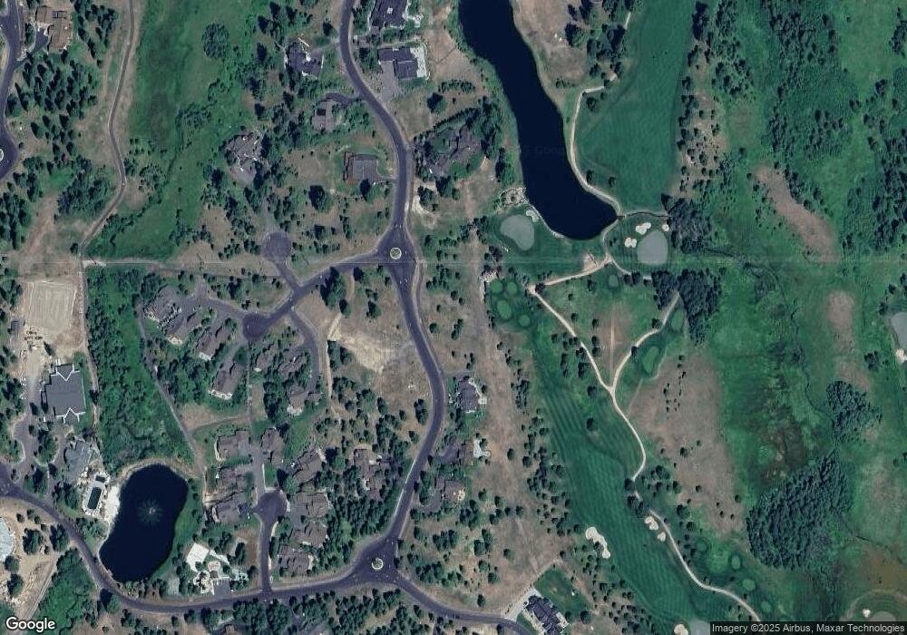
Map
Nearby Homes
- 325 Whitetail Dr
- 4605 Williams Creek Loop
- 544 Osprey View Dr Unit 43
- 459 Osprey View Dr Unit 90
- 532 Osprey View Dr Unit 48
- 4305 Song Sparrow Ct
- 4333 Song Sparrow Ct Unit 28
- 4625 Williams Creek Loop Unit 96
- 663 Lichen Ln Unit 68
- 1413 Stone Ln
- 609 Migratory Ridge Way Unit 46
- 669 Migratory Ridge Way Unit 70
- 659 Aster Ct
- 667 Aster Ct Unit 63
- 656 Aster Ct Unit 67
- 671 Aster Ct Unit 64
- 660 Aster Ct
- 661 Migratory Ridge Unit 72
- 605 Migratory Ridge Way Unit 45
- 462 Timbercrest Loop
- 329 Whitetail Dr
- 325 Whitetail Dr Unit 40
- 322 Whitetail Dr Unit 73
- 322 Whitetail Dr
- 3300 Shaggy Mane Ct Unit 71
- 334 Whitetail Dr
- 334 Whitetail Dr Unit 65
- Lot 77 Shaggy Mane Ct Unit 77
- 337 Whitetail Dr
- 3306 Shaggy Mane Ct
- 3304 Shaggy Mane Ct
- 318 Whitetail Dr
- 317 Whitetail Dr Unit 38
- 317 Whitetail Dr
- 338 Whitetail Dr Unit 64
- 338 Whitetail Dr
- 3308 Shaggy Mane Ct
- 4057 Smokey Morel Ct
- 4058 Smokey Morel Ct Unit 77
- 4058 Smokey Morel Ct
Your Personal Tour Guide
Ask me questions while you tour the home.