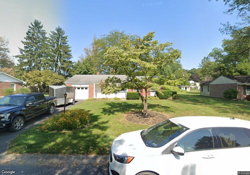
3290 Randy Rd Lancaster, PA 17601
East Hempfield NeighborhoodEstimated Value: $301,000 - $356,000
3
Beds
2
Baths
1,315
Sq Ft
$247/Sq Ft
Est. Value
About This Home
This home is located at 3290 Randy Rd, Lancaster, PA 17601 and is currently estimated at $324,357, approximately $246 per square foot. 3290 Randy Rd is a home located in Lancaster County with nearby schools including Centerville Elementary School, Centerville Middle School, and Hempfield Senior High School.
Ownership History
Date
Name
Owned For
Owner Type
Purchase Details
Closed on
Jan 15, 2025
Sold by
Rutt Beverly A and Rutt Keith W
Bought by
Bonafede Peter Leonard
Current Estimated Value
Home Financials for this Owner
Home Financials are based on the most recent Mortgage that was taken out on this home.
Original Mortgage
$236,000
Outstanding Balance
$234,323
Interest Rate
6.69%
Mortgage Type
New Conventional
Estimated Equity
$90,034
Create a Home Valuation Report for This Property
The Home Valuation Report is an in-depth analysis detailing your home's value as well as a comparison with similar homes in the area
Home Values in the Area
Average Home Value in this Area
Purchase History
| Date | Buyer | Sale Price | Title Company |
|---|---|---|---|
| Bonafede Peter Leonard | $295,000 | None Listed On Document | |
| Bonafede Peter Leonard | $295,000 | None Listed On Document |
Source: Public Records
Mortgage History
| Date | Status | Borrower | Loan Amount |
|---|---|---|---|
| Open | Bonafede Peter Leonard | $236,000 | |
| Closed | Bonafede Peter Leonard | $236,000 |
Source: Public Records
Tax History Compared to Growth
Tax History
| Year | Tax Paid | Tax Assessment Tax Assessment Total Assessment is a certain percentage of the fair market value that is determined by local assessors to be the total taxable value of land and additions on the property. | Land | Improvement |
|---|---|---|---|---|
| 2025 | $3,505 | $162,200 | $56,900 | $105,300 |
| 2024 | $3,505 | $162,200 | $56,900 | $105,300 |
| 2023 | $3,435 | $162,200 | $56,900 | $105,300 |
| 2022 | $3,341 | $162,200 | $56,900 | $105,300 |
| 2021 | $3,288 | $162,200 | $56,900 | $105,300 |
| 2020 | $3,288 | $162,200 | $56,900 | $105,300 |
| 2019 | $3,232 | $162,200 | $56,900 | $105,300 |
| 2018 | $3,933 | $162,200 | $56,900 | $105,300 |
| 2017 | $3,616 | $143,600 | $40,100 | $103,500 |
| 2016 | $3,616 | $143,600 | $40,100 | $103,500 |
| 2015 | $726 | $143,600 | $40,100 | $103,500 |
| 2014 | $2,670 | $143,600 | $40,100 | $103,500 |
Source: Public Records
Map
Nearby Homes
- 1059 Nissley Rd
- 849 Aylesbury Dr
- 3714 Jonas Dr
- 854 Centerville Rd
- 3720 Jonas Dr
- 2990 Nolt Rd
- 3093 Essex Place
- 1105 Amy Ln
- 3100 Parker Dr
- 1400 Limestone Ridge
- 660 Lawrence Blvd Unit DEVONSHIRE
- 660 Lawrence Blvd Unit MAGNOLIA
- 660 Lawrence Blvd Unit ADDISON
- 660 Lawrence Blvd Unit LACHLAN
- 660 Lawrence Blvd Unit COVINGTON
- 660 Lawrence Blvd Unit ARCADIA
- 660 Lawrence Blvd Unit PARKER
- 1509 Wheatfield Vista
- Kipling Plan at Enclave at Independence Ridge
- Woodford Plan at Enclave at Independence Ridge