Estimated Value: $698,000 - $868,000
5
Beds
3
Baths
2,520
Sq Ft
$307/Sq Ft
Est. Value
About This Home
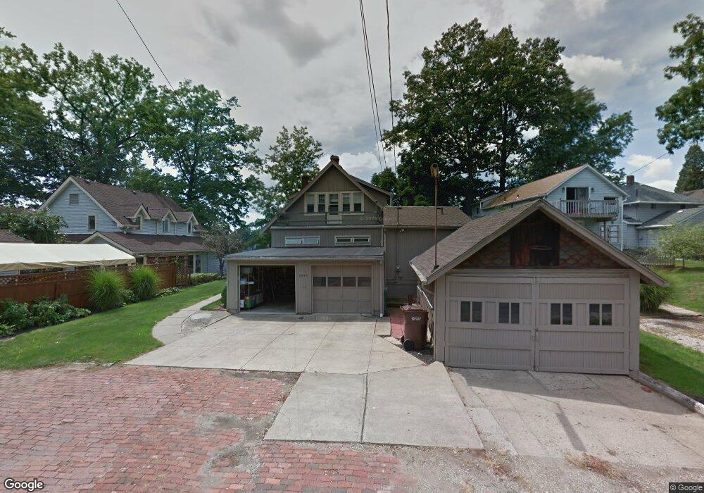
This home is located at 3290 Waterside Dr, Akron, OH 44319 and is currently estimated at $772,521, approximately $306 per square foot. 3290 Waterside Dr is a home located in Summit County with nearby schools including Coventry Middle School, Coventry High School, and St. Francis de Sales School.
Ownership History
Date
Name
Owned For
Owner Type
Purchase Details
Closed on
Apr 4, 2014
Sold by
Burgess Ronald L
Bought by
Burgess Virginia A
Current Estimated Value
Home Financials for this Owner
Home Financials are based on the most recent Mortgage that was taken out on this home.
Original Mortgage
$125,000
Outstanding Balance
$95,023
Interest Rate
4.34%
Mortgage Type
New Conventional
Estimated Equity
$677,498
Purchase Details
Closed on
Apr 27, 2010
Sold by
Wamsley Violet A
Bought by
Burgess Ronald L
Home Financials for this Owner
Home Financials are based on the most recent Mortgage that was taken out on this home.
Original Mortgage
$180,000
Interest Rate
5.02%
Mortgage Type
New Conventional
Create a Home Valuation Report for This Property
The Home Valuation Report is an in-depth analysis detailing your home's value as well as a comparison with similar homes in the area
Home Values in the Area
Average Home Value in this Area
Purchase History
| Date | Buyer | Sale Price | Title Company |
|---|---|---|---|
| Burgess Virginia A | $275,000 | None Available | |
| Burgess Ronald L | $225,000 | Title First Agency Inc |
Source: Public Records
Mortgage History
| Date | Status | Borrower | Loan Amount |
|---|---|---|---|
| Open | Burgess Virginia A | $125,000 | |
| Previous Owner | Burgess Ronald L | $180,000 |
Source: Public Records
Tax History Compared to Growth
Tax History
| Year | Tax Paid | Tax Assessment Tax Assessment Total Assessment is a certain percentage of the fair market value that is determined by local assessors to be the total taxable value of land and additions on the property. | Land | Improvement |
|---|---|---|---|---|
| 2025 | $11,502 | $241,914 | $32,414 | $209,500 |
| 2024 | $11,502 | $241,914 | $32,414 | $209,500 |
| 2023 | $11,502 | $198,573 | $32,414 | $166,159 |
| 2022 | $9,958 | $141,953 | $22,988 | $118,965 |
| 2021 | $9,376 | $141,953 | $22,988 | $118,965 |
| 2020 | $8,824 | $137,630 | $22,990 | $114,640 |
| 2019 | $6,665 | $94,550 | $20,230 | $74,320 |
| 2018 | $6,601 | $94,550 | $20,230 | $74,320 |
| 2017 | $5,875 | $94,550 | $20,230 | $74,320 |
| 2016 | $5,861 | $82,950 | $20,230 | $62,720 |
| 2015 | $5,875 | $82,950 | $20,230 | $62,720 |
| 2014 | $5,280 | $76,630 | $20,230 | $56,400 |
| 2013 | $4,789 | $70,420 | $20,230 | $50,190 |
Source: Public Records
Map
Nearby Homes
- 72 Weil Ave
- 0 S Main St
- 206 Lakota Ave
- 61 Leicester Dr
- 3101 Wagoner St
- 428 Canova Dr
- 441 Dorwil Dr
- 3025 Lamb Dr
- 2972 N Turkeyfoot Rd
- 268 E Willowview Dr
- 71 Delora Dr
- 265 E Pace Ave
- 0 W Warner Rd
- 202 W Warner Rd
- 449 W Long Lake Blvd
- 552 Saunders Ave
- 2925 Greenwing Ct
- 796 Portage Lakes Dr
- 336 Teal Cir
- 802 Portage Lakes Dr
- 3282 Waterside Dr
- 3296 Waterside Dr
- 3300 Waterside Dr
- 3276 Waterside Dr
- 3272 Waterside Dr
- 3308 Waterside Dr
- 3295 Waterside Dr
- 3270 Waterside Dr
- 3275 Waterside Dr
- 3268 Waterside Dr
- 3303 Waterside Dr
- 3314 Waterside Dr
- 112 Wymore Ave
- 85 Weil Ave
- 84 Weil Ave
- 114 Wymore Ave
- 3318 Waterside Dr
- 79 Organ Ave
- 118 Wymore Ave
- 88 Wymore Ave