32909 Dowland Dr Warren, MI 48092
Northwest Warren NeighborhoodEstimated Value: $229,780 - $248,000
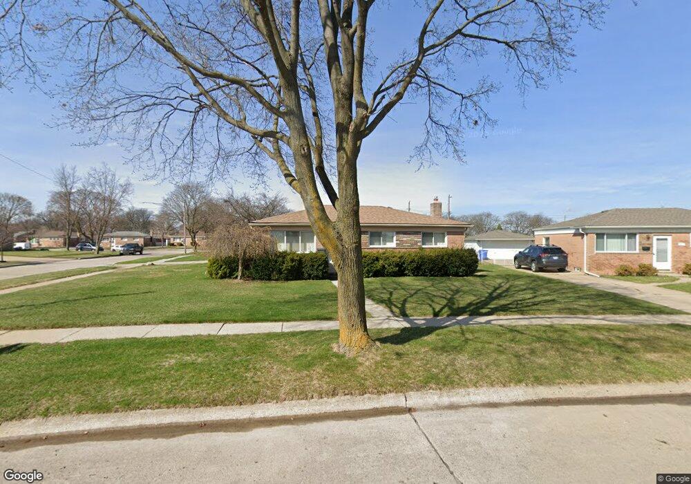
About This Home
This home is located at 32909 Dowland Dr, Warren, MI 48092 and is currently estimated at $241,695, approximately $264 per square foot. 32909 Dowland Dr is a home located in Macomb County with nearby schools including Angus Elementary School, Beer Middle School, and Warren Mott High School.
Ownership History
We collect this data history from publicly available records. To have your information removed, we recommend requesting removal directly through your county’s website.
Purchase Details
Home Financials for this Owner
Home Financials are based on the most recent Mortgage that was taken out on this home.Purchase Details
Home Values in the Area
Average Home Value in this Area
Purchase History
We collect this data history from publicly available records. To have your information removed, we recommend requesting removal directly through your county’s website.
| Date | Buyer | Sale Price | Title Company |
|---|---|---|---|
| $137,900 | -- | ||
| $91,000 | -- |
Mortgage History
We collect this data history from publicly available records. To have your information removed, we recommend requesting removal directly through your county’s website.
| Date | Status | Borrower | Loan Amount |
|---|---|---|---|
| Previous Owner | $95,900 |
Tax History
We collect this data history from publicly available records. To have your information removed, we recommend requesting removal directly through your county’s website.
| Year | Tax Paid | Tax Assessment Tax Assessment Total Assessment is a certain percentage of the fair market value that is determined by local assessors to be the total taxable value of land and additions on the property. | Land | Improvement |
|---|---|---|---|---|
| 2025 | $2,522 | $102,940 | $0 | $0 |
| 2024 | $25 | $91,440 | $0 | $0 |
| 2023 | $2,260 | $84,850 | $0 | $0 |
| 2022 | $2,260 | $73,200 | $0 | $0 |
| 2021 | $2,299 | $69,460 | $0 | $0 |
| 2020 | $2,217 | $66,200 | $0 | $0 |
| 2019 | $2,138 | $57,090 | $0 | $0 |
| 2018 | $61 | $53,920 | $0 | $0 |
| 2017 | $2,144 | $51,410 | $11,880 | $39,530 |
| 2016 | $2,142 | $51,410 | $0 | $0 |
| 2015 | -- | $42,820 | $0 | $0 |
| 2012 | -- | $37,660 | $0 | $0 |
Map
- 32960 Oakview Dr
- 32565 Warner Dr
- 32654 Wareham Ct
- 2536 Dundee Dr
- 33036 Richard O Dr
- 33455 Elgin Ct
- 2510 Lincoln Dr
- 33615 Viceroy Dr
- 32291 Ryan Rd
- 33731 Newport Dr
- 33849 Clifton Dr
- 3651 Chicago Rd
- 2557 Chicago Rd
- 33735 Kennedy Dr
- 33180 Glengary Ct Unit 2
- 33181 Sherwood Forest Dr
- 4580 Hampton Ct N
- 5575 E 14 Mile Rd
- 2269 Serra Dr
- 4703 Kensington Dr
- 2927 Earl Dr
- 32921 Dowland Dr
- 32933 Dowland Dr
- 2915 Earl Dr
- 32914 Dowland Dr
- 2948 Earl Dr
- 2936 Earl Dr
- 32832 Warner Dr
- 3014 Earl Dr
- 32945 Dowland Dr
- 32928 Dowland Dr
- 42894 Warner Dr
- 2903 Earl Dr
- 32942 Dowland Dr
- 32818 Warner Dr
- 32957 Dowland Dr
- 3003 Tuxedo Dr
- 3035 Earl Dr
- 2870 E 14 Mile Rd
- 32851 Warner Dr
Ask me questions while you tour the home.