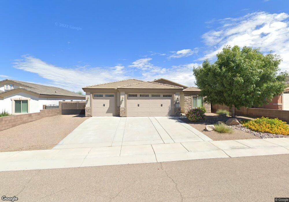
3291 Motherload Rd Kingman, AZ 86401
Estimated Value: $365,134 - $396,000
3
Beds
1
Bath
1,650
Sq Ft
$232/Sq Ft
Est. Value
About This Home
This home is located at 3291 Motherload Rd, Kingman, AZ 86401 and is currently estimated at $383,534, approximately $232 per square foot. 3291 Motherload Rd is a home located in Mohave County with nearby schools including Hualapai Elementary School, White Cliffs Middle School, and Lee Williams High School.
Ownership History
Date
Name
Owned For
Owner Type
Purchase Details
Closed on
Jul 8, 2015
Sold by
Fripps Mohave Land Llc
Bought by
Fripps Mohave Construction Llc
Current Estimated Value
Purchase Details
Closed on
Jul 6, 2015
Sold by
Gastelum Maria Del Rosario
Bought by
Floyd Thomas M and Floyd Keturah J
Purchase Details
Closed on
Jun 11, 2015
Sold by
Fripps Mohave Construction Llc
Bought by
Osmonson Wayne D and Osmonson Wanda K
Purchase Details
Closed on
Dec 19, 2014
Sold by
Chicago Title Insurance Company
Bought by
Hualapai Shadows Llc
Purchase Details
Closed on
Dec 11, 2014
Sold by
Hualapai Shadows Llc
Bought by
Fripps Mohave Land Llc
Create a Home Valuation Report for This Property
The Home Valuation Report is an in-depth analysis detailing your home's value as well as a comparison with similar homes in the area
Home Values in the Area
Average Home Value in this Area
Purchase History
| Date | Buyer | Sale Price | Title Company |
|---|---|---|---|
| Fripps Mohave Construction Llc | -- | Chicago Title Agency Inc | |
| Floyd Thomas M | $179,900 | Chicago Title Agency Inc | |
| Osmonson Wayne D | $179,900 | Chicago Title Agency Inc | |
| Hualapai Shadows Llc | -- | Chicago Title | |
| Fripps Mohave Land Llc | $52,000 | Chicago Title Agency Inc |
Source: Public Records
Tax History Compared to Growth
Tax History
| Year | Tax Paid | Tax Assessment Tax Assessment Total Assessment is a certain percentage of the fair market value that is determined by local assessors to be the total taxable value of land and additions on the property. | Land | Improvement |
|---|---|---|---|---|
| 2026 | -- | -- | -- | -- |
| 2025 | $1,345 | $28,441 | $0 | $0 |
| 2024 | $1,345 | $28,256 | $0 | $0 |
| 2023 | $1,345 | $26,056 | $0 | $0 |
| 2022 | $1,231 | $21,898 | $0 | $0 |
| 2021 | $1,306 | $20,645 | $0 | $0 |
| 2019 | $1,177 | $17,417 | $0 | $0 |
| 2018 | $1,229 | $16,652 | $0 | $0 |
| 2017 | $1,114 | $16,252 | $0 | $0 |
| 2016 | $1,071 | $15,978 | $0 | $0 |
| 2015 | $164 | $2,981 | $0 | $0 |
Source: Public Records
Map
Nearby Homes
- 3280 Whitehead Ave
- 3376 Motherlode Rd
- 3300 Cherri Ave
- 2144 Old Miners Rd
- 3316 Producers Mine Rd
- 2303 Indigo St
- LOT 068 Hualapai Mountain Rd
- 3323 Karen Ave
- 321-04-018E Hualapai Mountain Rd
- 2303 Wildflower St
- 2347 Ginger St
- 3354 Isador Ave
- 3098 Amanda Cir
- Lot 164 Hualapai Mountain Rd
- 3059 Mallory Loop
- 2070 Buena Vista Dr
- 00 Cheyenne Ave
- 3064 Brenda Cir
- 000 Ranch Rd
- 3201 Rio Grande Ave
- 3291 Motherlode Rd
- 3291 Motherlode Rd
- 3299 Motherload Rd
- 3299 Motherlode Rd
- 3299 Motherlode Rd
- 3279 Motherlode Rd
- 3279 Motherlode Rd
- 3279 Motherlode Rd
- 3292 Whitehead Ave
- 3292 Whitehead Ave
- 3300 Whitehead Ave
- 3300 Whitehead Ave
- 3280 Whitehead Ave
- 3311 Motherload Rd
- 3311 Motherlode Rd
- 3311 Motherlode Rd
- 3271 Motherlode Rd
- 3271 Motherlode Rd
- 3271 Motherlode Rd
- 3290 Motherlode Rd