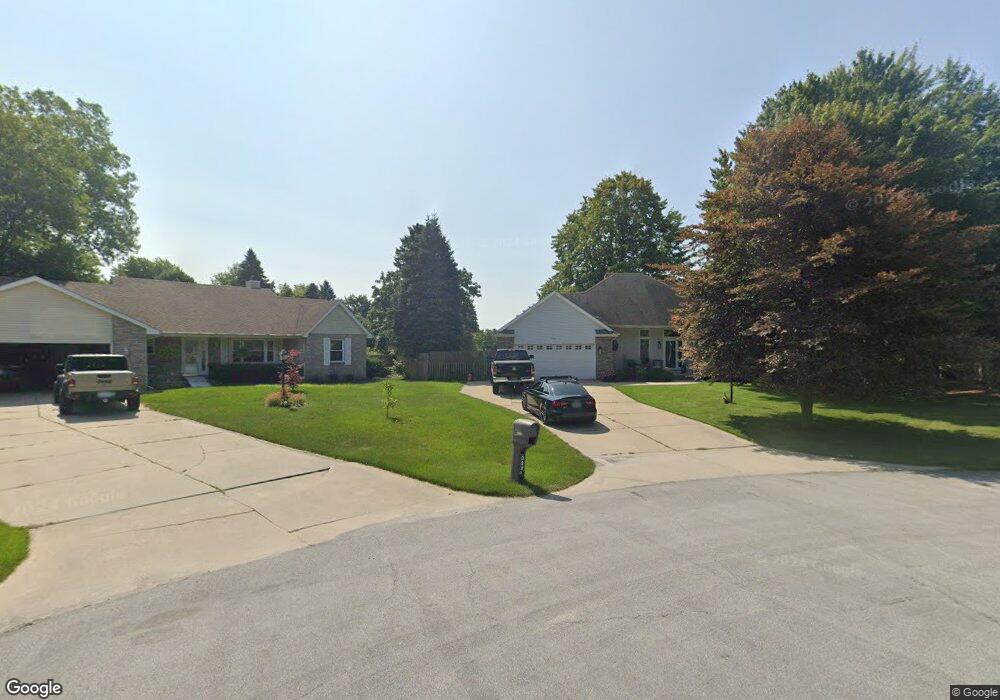
3291 Richards Dr Port Huron, MI 48060
Estimated Value: $327,000 - $400,367
--
Bed
1
Bath
1,818
Sq Ft
$200/Sq Ft
Est. Value
About This Home
This home is located at 3291 Richards Dr, Port Huron, MI 48060 and is currently estimated at $363,592, approximately $199 per square foot. 3291 Richards Dr is a home located in St. Clair County with nearby schools including Michigamme Elementary School, Central Middle School, and Port Huron High School.
Ownership History
Date
Name
Owned For
Owner Type
Purchase Details
Closed on
Oct 6, 2006
Sold by
Mctaggart Thomas F and Mctaggart Meldene F
Bought by
Ross Christopher G and Ross Lynda K
Current Estimated Value
Home Financials for this Owner
Home Financials are based on the most recent Mortgage that was taken out on this home.
Original Mortgage
$155,200
Outstanding Balance
$92,764
Interest Rate
6.49%
Mortgage Type
New Conventional
Estimated Equity
$270,828
Create a Home Valuation Report for This Property
The Home Valuation Report is an in-depth analysis detailing your home's value as well as a comparison with similar homes in the area
Home Values in the Area
Average Home Value in this Area
Purchase History
| Date | Buyer | Sale Price | Title Company |
|---|---|---|---|
| Ross Christopher G | $194,000 | None Available |
Source: Public Records
Mortgage History
| Date | Status | Borrower | Loan Amount |
|---|---|---|---|
| Open | Ross Christopher G | $155,200 |
Source: Public Records
Tax History Compared to Growth
Tax History
| Year | Tax Paid | Tax Assessment Tax Assessment Total Assessment is a certain percentage of the fair market value that is determined by local assessors to be the total taxable value of land and additions on the property. | Land | Improvement |
|---|---|---|---|---|
| 2025 | $3,771 | $162,900 | $0 | $0 |
| 2024 | $1,984 | $155,100 | $0 | $0 |
| 2023 | $1,831 | $129,600 | $0 | $0 |
| 2022 | $3,384 | $114,000 | $0 | $0 |
| 2021 | $3,286 | $95,500 | $0 | $0 |
| 2020 | $3,286 | $85,400 | $0 | $85,400 |
| 2019 | $3,986 | $83,000 | $0 | $0 |
| 2018 | $3,582 | $83,000 | $0 | $0 |
| 2017 | $3,597 | $76,600 | $0 | $0 |
| 2016 | $1,292 | $76,600 | $0 | $0 |
| 2015 | -- | $73,900 | $0 | $73,900 |
| 2014 | -- | $74,500 | $74,500 | $0 |
| 2013 | -- | $74,000 | $0 | $0 |
Source: Public Records
Map
Nearby Homes
- 4361 Peck Rd
- 3230 Range Rd
- 4224 Atkins Rd
- 4608 Huntington Dr
- 3115 Spruce Dr
- 4460 Cambridge Dr
- 3152 Spruce Dr
- 3345 Beach Rd
- 3993 N River Rd
- 4167 N River Rd
- 3971 N River Rd
- 4224 N River Rd
- 4570 Atkins Rd
- 3580 Angus Rd
- 3610 State Rd
- 3625 Angus Rd
- 2863 Beach Rd
- 4911 Castlewood Dr
- Lot #9 Thornton Dr
- 0000 W Water St
- 3295 Richards Dr
- 3298 Richards Dr
- 3302 Richards Dr
- 3301 Richards Dr
- 4343 Peck Rd
- 4353 Peck Rd
- 3310 Richards Dr
- 3307 Richards Dr
- 3317 Larchwood Dr
- 4308 Peck Rd
- 3318 Richards Dr
- 3315 Richards Dr
- 4298 Peck Rd Unit 4298
- 3323 Richards Dr
- 3266 Range Rd
- 3284 Range Rd
- 3302 Range Rd
- 3250 Range Rd
- 3227 Maple Creek Dr
- 3326 Richards Dr