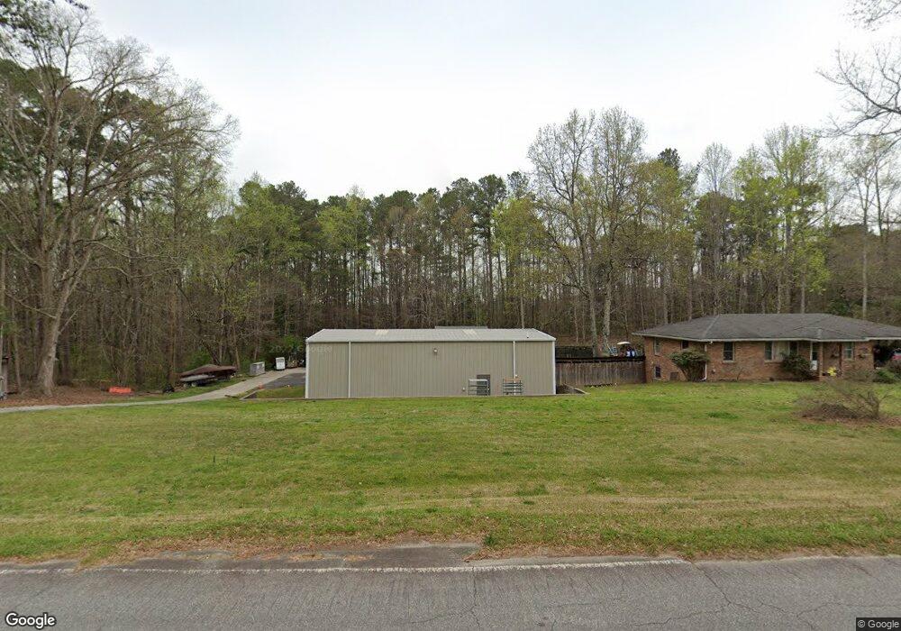
3293 Highway 92 Acworth, GA 30102
Oak Grove NeighborhoodEstimated Value: $371,726 - $502,000
4
Beds
2
Baths
2,282
Sq Ft
$192/Sq Ft
Est. Value
About This Home
This home is located at 3293 Highway 92, Acworth, GA 30102 and is currently estimated at $439,182, approximately $192 per square foot. 3293 Highway 92 is a home located in Cherokee County with nearby schools including E. T. Booth Middle School, Etowah High School, and Keystone Prep Academy.
Ownership History
Date
Name
Owned For
Owner Type
Purchase Details
Closed on
Sep 14, 2000
Sold by
Moreequity Inc
Bought by
Ives Edward L
Current Estimated Value
Home Financials for this Owner
Home Financials are based on the most recent Mortgage that was taken out on this home.
Original Mortgage
$86,400
Outstanding Balance
$30,775
Interest Rate
7.97%
Mortgage Type
New Conventional
Estimated Equity
$408,407
Purchase Details
Closed on
Nov 23, 1998
Sold by
Gravely Billy and Donald-Co Execs
Bought by
Murphy Guy
Home Financials for this Owner
Home Financials are based on the most recent Mortgage that was taken out on this home.
Original Mortgage
$108,000
Interest Rate
6.84%
Mortgage Type
New Conventional
Create a Home Valuation Report for This Property
The Home Valuation Report is an in-depth analysis detailing your home's value as well as a comparison with similar homes in the area
Home Values in the Area
Average Home Value in this Area
Purchase History
| Date | Buyer | Sale Price | Title Company |
|---|---|---|---|
| Ives Edward L | $108,000 | -- | |
| Murphy Guy | $120,000 | -- |
Source: Public Records
Mortgage History
| Date | Status | Borrower | Loan Amount |
|---|---|---|---|
| Open | Ives Edward L | $86,400 | |
| Previous Owner | Murphy Guy | $108,000 |
Source: Public Records
Tax History Compared to Growth
Tax History
| Year | Tax Paid | Tax Assessment Tax Assessment Total Assessment is a certain percentage of the fair market value that is determined by local assessors to be the total taxable value of land and additions on the property. | Land | Improvement |
|---|---|---|---|---|
| 2025 | $3,314 | $126,192 | $17,440 | $108,752 |
| 2024 | $3,177 | $122,268 | $13,080 | $109,188 |
| 2023 | $3,079 | $118,488 | $13,080 | $105,408 |
| 2022 | $2,785 | $105,968 | $13,080 | $92,888 |
| 2021 | $2,067 | $72,808 | $11,200 | $61,608 |
| 2020 | $2,039 | $71,768 | $11,200 | $60,568 |
| 2019 | $1,857 | $65,360 | $11,200 | $54,160 |
| 2018 | $2,162 | $75,640 | $20,560 | $55,080 |
| 2017 | $2,141 | $185,800 | $19,320 | $55,000 |
| 2016 | $2,008 | $172,400 | $16,320 | $52,640 |
| 2015 | $1,566 | $133,200 | $16,320 | $36,960 |
| 2014 | $1,528 | $129,700 | $14,480 | $37,400 |
Source: Public Records
Map
Nearby Homes
- 2936 Cheryl Ct
- 2959 Creekstone Dr
- 2899 Emerald Ln
- Bolton Plan at Cherokee Township
- Brooks Plan at Cherokee Township
- Bryson Plan at Cherokee Township
- 325 Colsen Dr
- 328 Colsen Dr
- 332 Colsen Dr
- 3019 Westwood Dr
- 336 Colsen Dr
- 340 Colsen Dr
- 344 Colsen Dr
- 435 Carrera Ln
- 432 Carrera Ln
- 440 Carrera Ln
- 0 Highway 92 Unit 5623819
- 0 Highway 92 Unit 8844996
- 0 Highway 92 Unit 182 10271736
- 153 Centennial Ridge Dr
- 0 Westwood Dr Unit 8245677
- 0 Westwood Dr Unit 5897048
- 0 Westwood Dr Unit 8039652
- 0 Westwood Dr Unit 5722497
- 0 Westwood Dr Unit 318347
- 0 Westwood Dr Unit 10072080
- 0 Westwood Dr Unit 7084874
- 0 Westwood Dr Unit 9021237
- 0 Westwood Dr Unit 8926038
- 0 Westwood Dr Unit 7098831
- 0 Westwood Dr Unit 7127398
- 3331 Highway 92
- 3241 Highway 92
- 2887 Highway 92
- 3262 Highway 92
- 3292 Highway 92 Unit 1
- 3242 Highway 92
- 3220 Highway 92
- 3318 Highway 92
- 3326 Highway 92