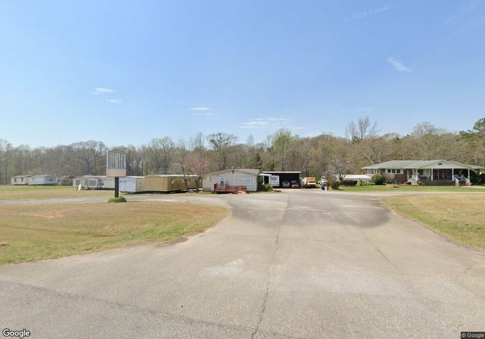
3293 S Highway 27 Carrollton, GA 30117
Estimated Value: $569,000 - $753,613
4
Beds
4
Baths
4,694
Sq Ft
$147/Sq Ft
Est. Value
About This Home
This home is located at 3293 S Highway 27, Carrollton, GA 30117 and is currently estimated at $691,403, approximately $147 per square foot. 3293 S Highway 27 is a home located in Carroll County with nearby schools including Roopville Elementary School, Central Middle School, and Central High School.
Ownership History
Date
Name
Owned For
Owner Type
Purchase Details
Closed on
May 26, 2015
Sold by
Richardson Laracie L
Bought by
Richardson Larcie L and Richardson Jake R
Current Estimated Value
Home Financials for this Owner
Home Financials are based on the most recent Mortgage that was taken out on this home.
Original Mortgage
$273,600
Outstanding Balance
$212,213
Interest Rate
3.79%
Mortgage Type
New Conventional
Estimated Equity
$479,190
Purchase Details
Closed on
Sep 1, 1977
Bought by
Lyle
Create a Home Valuation Report for This Property
The Home Valuation Report is an in-depth analysis detailing your home's value as well as a comparison with similar homes in the area
Home Values in the Area
Average Home Value in this Area
Purchase History
| Date | Buyer | Sale Price | Title Company |
|---|---|---|---|
| Richardson Larcie L | -- | -- | |
| Richardson Larcie L | $342,000 | -- | |
| Lyle | -- | -- |
Source: Public Records
Mortgage History
| Date | Status | Borrower | Loan Amount |
|---|---|---|---|
| Open | Richardson Larcie L | $273,600 | |
| Closed | Richardson Larcie L | $273,600 |
Source: Public Records
Tax History Compared to Growth
Tax History
| Year | Tax Paid | Tax Assessment Tax Assessment Total Assessment is a certain percentage of the fair market value that is determined by local assessors to be the total taxable value of land and additions on the property. | Land | Improvement |
|---|---|---|---|---|
| 2024 | $6,538 | $267,359 | $74,882 | $192,477 |
| 2023 | $6,538 | $249,705 | $74,883 | $174,822 |
| 2022 | $5,155 | $190,231 | $49,922 | $140,309 |
| 2021 | $4,394 | $157,081 | $36,979 | $120,102 |
| 2020 | $4,119 | $144,974 | $36,979 | $107,995 |
| 2019 | $3,994 | $135,417 | $36,979 | $98,438 |
| 2018 | $3,656 | $122,171 | $36,979 | $85,192 |
| 2017 | $3,676 | $122,171 | $36,979 | $85,192 |
| 2016 | $4,138 | $148,509 | $36,456 | $112,053 |
| 2015 | $728 | $68,201 | $16,800 | $51,402 |
| 2014 | $733 | $68,202 | $16,800 | $51,402 |
Source: Public Records
Map
Nearby Homes
- 0 Ringer Rd Unit 10595950
- 0 Lowell Rd Unit 10640679
- 221 Valley Ridge Dr
- 484 Carrie Kathleen Terrace
- 2492 Oak Grove Church Rd
- 472 Carrie Kathleen Terrace
- 1915 Whooping Creek Church Rd
- 0 Bonner Goldmine Rd Unit 145631
- 0 Bonner Goldmine Rd Unit 10433818
- 00 Ringer Rd
- 135 Gray Rd
- 915 Oak Grove Rd
- 195 Gold Dust Trail
- 1512 Whooping Creek Church Rd
- 1502 Whooping Creek Church Rd
- 1170 Lowell Rd
- 2214 Hays Mill Rd
- 1450 Whooping Creek Church Rd
- 1430 Whooping Creek Church Rd
- 3293 S Highway 27
- 3293 S Highway 27
- 3330 S Highway 27
- 3272 S Highway 27
- 3272 U S 27
- 3260 S Highway 27
- 3371 S Highway 27
- 3371 U S 27
- 0 27 Hwy Lot Unit WP001
- 0 Hubbard Springs Rd Unit 7177943
- 120 Hubbard Springs Rd
- 156 Hubbard Springs Rd
- 3400 S Highway 27
- 65 Ringer Rd
- 3417 S Highway 27
- 3417 U S 27
- 105 Hubbard Springs Rd
- 9 Ringer Rd
- 3436 S Highway 27
- 0 Lowell Rd Clem Lowell Rd Unit 142958