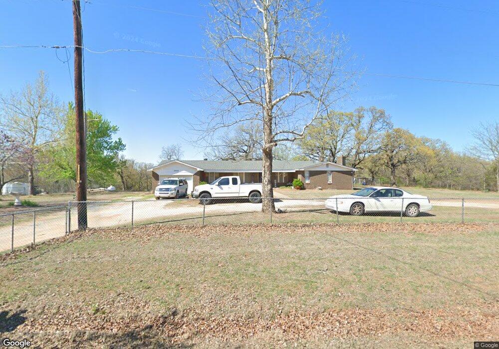
329362 E 1070 Rd McLoud, OK 74851
Midway NeighborhoodEstimated Value: $166,000 - $335,000
3
Beds
2
Baths
1,968
Sq Ft
$123/Sq Ft
Est. Value
About This Home
This home is located at 329362 E 1070 Rd, McLoud, OK 74851 and is currently estimated at $241,629, approximately $122 per square foot. 329362 E 1070 Rd is a home with nearby schools including Virginia Smith Elementary School, Russell Babb Elementary School, and Clara Reynolds Elementary School.
Ownership History
Date
Name
Owned For
Owner Type
Purchase Details
Closed on
Apr 2, 2021
Sold by
Freeman Bernard and Freeman Kathern
Bought by
Bernard Arthur Freeman And Kathern Freeman Fa
Current Estimated Value
Purchase Details
Closed on
Sep 2, 1997
Sold by
Allensworth Evona L
Bought by
Harrington Harrington G and Harrington Ethel
Purchase Details
Closed on
Sep 4, 1974
Sold by
Allensworth
Bought by
Harrington
Create a Home Valuation Report for This Property
The Home Valuation Report is an in-depth analysis detailing your home's value as well as a comparison with similar homes in the area
Home Values in the Area
Average Home Value in this Area
Purchase History
| Date | Buyer | Sale Price | Title Company |
|---|---|---|---|
| Bernard Arthur Freeman And Kathern Freeman Fa | -- | None Listed On Document | |
| Harrington Harrington G | $40,000 | -- | |
| Harrington | $40,000 | -- |
Source: Public Records
Tax History
| Year | Tax Paid | Tax Assessment Tax Assessment Total Assessment is a certain percentage of the fair market value that is determined by local assessors to be the total taxable value of land and additions on the property. | Land | Improvement |
|---|---|---|---|---|
| 2025 | $698 | $7,285 | $2,198 | $5,087 |
| 2024 | $726 | $6,938 | $1,718 | $5,220 |
| 2023 | $726 | $14,313 | $2,980 | $11,333 |
| 2022 | $551 | $5,885 | $1,201 | $4,684 |
| 2021 | $526 | $5,604 | $1,246 | $4,358 |
| 2020 | $512 | $5,338 | $1,092 | $4,246 |
| 2019 | $487 | $5,083 | $1,028 | $4,055 |
| 2018 | $472 | $4,841 | $1,062 | $3,779 |
| 2017 | $442 | $4,611 | $1,078 | $3,533 |
| 2016 | $426 | $4,391 | $619 | $3,772 |
| 2015 | $210 | $4,182 | $307 | $3,875 |
| 2014 | $260 | $5,085 | $813 | $4,272 |
Source: Public Records
Map
Nearby Homes
- 4318 Driftwood Dr
- 1701 S Pottawatomie Rd
- 1701 Breezeway Heights
- 20977 Fall Creek Dr
- 0 Fall Creek Rd
- 20922 Tempe Ave
- 101 W Oak Hill Dr
- 22072 Melissa Ln
- 22085 Melissa Ln
- 20644 Landmark Dr
- 4321 Winding Brook
- 4353 Winding Brook
- 113 Summer Oaks Dr
- 20590 Legacy Crossing
- 20684 Brush Creek Blvd
- 20630 Frontier Place
- 20674 Brush Creek Blvd
- 972 Tim Holt Dr
- 20687 Brush Creek Blvd
- 20658 Brush Creek Blvd
- 0 Walton Ln
- 29397 E Reno Ave
- 329438 E 1070 Rd
- 329274 E 1070 Rd
- 103 Walton Ln
- 29209 E 1070 Rd
- 0 County Line Rd
- 29209 Belmont Rd
- 329188 E 1070 Rd
- 29203 Belmont Rd
- 29323 E 1070 Rd
- 126 Walton Ln
- 100 S Pottawatomie Rd
- 200 S Pottawatomie Rd Unit C
- 200 S Pottawatomie Rd
- 29011 Belmont Rd
- 134 Walton Ln
- 7146 Walton Ln
- 155 Walton Ln
- 138 Walton Ln
Your Personal Tour Guide
Ask me questions while you tour the home.