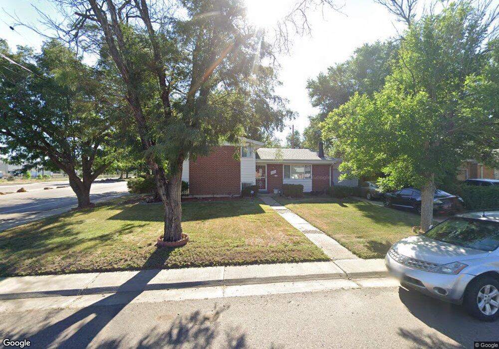
3294 Scranton St Aurora, CO 80011
Morris Heights NeighborhoodEstimated Value: $410,035 - $456,000
3
Beds
2
Baths
1,570
Sq Ft
$273/Sq Ft
Est. Value
About This Home
This home is located at 3294 Scranton St, Aurora, CO 80011 and is currently estimated at $429,259, approximately $273 per square foot. 3294 Scranton St is a home located in Adams County with nearby schools including Park Lane Elementary School, North Middle School Health Sciences & Technology, and Hinkley High School.
Ownership History
Date
Name
Owned For
Owner Type
Purchase Details
Closed on
May 20, 2024
Sold by
Cooper Ada M
Bought by
Worrell Brian Thomas
Current Estimated Value
Home Financials for this Owner
Home Financials are based on the most recent Mortgage that was taken out on this home.
Original Mortgage
$219,200
Outstanding Balance
$215,269
Interest Rate
6.82%
Mortgage Type
New Conventional
Estimated Equity
$213,990
Create a Home Valuation Report for This Property
The Home Valuation Report is an in-depth analysis detailing your home's value as well as a comparison with similar homes in the area
Home Values in the Area
Average Home Value in this Area
Purchase History
| Date | Buyer | Sale Price | Title Company |
|---|---|---|---|
| Worrell Brian Thomas | $274,000 | Land Title |
Source: Public Records
Mortgage History
| Date | Status | Borrower | Loan Amount |
|---|---|---|---|
| Open | Worrell Brian Thomas | $219,200 |
Source: Public Records
Tax History
| Year | Tax Paid | Tax Assessment Tax Assessment Total Assessment is a certain percentage of the fair market value that is determined by local assessors to be the total taxable value of land and additions on the property. | Land | Improvement |
|---|---|---|---|---|
| 2025 | $2,050 | $28,700 | $5,780 | $22,920 |
| 2024 | $2,050 | $26,370 | $5,310 | $21,060 |
| 2023 | $2,084 | $30,040 | $5,750 | $24,290 |
| 2022 | $1,653 | $21,500 | $5,490 | $16,010 |
| 2021 | $1,722 | $21,500 | $5,490 | $16,010 |
| 2020 | $1,953 | $23,700 | $5,650 | $18,050 |
| 2019 | $1,950 | $23,700 | $5,650 | $18,050 |
| 2018 | $1,286 | $18,070 | $5,040 | $13,030 |
| 2017 | $1,142 | $18,070 | $5,040 | $13,030 |
| 2016 | $720 | $13,560 | $2,590 | $10,970 |
| 2015 | $696 | $6,770 | $1,290 | $5,480 |
| 2014 | $617 | $5,920 | $1,070 | $4,850 |
Source: Public Records
Map
Nearby Homes
- 3137 Ursula St
- 3123 Uvalda St
- 3206 Vaughn St
- 3148 Racine St
- 3101 Victor St
- 3065 Wheeling St
- 3090 Worchester St
- 3107 Xanadu St
- 1656 N Newark St
- 3222 Blackhawk Cir
- 2507 Zion St
- 12056 E 25th Ave
- 2381 Oswego St
- 3055 Carson St
- 14400 Albrook Dr Unit 55
- 14400 Albrook Dr Unit 80
- 2341 Oakland St
- 2331 Zion St
- 4452 Cornish Way
- 2522 Moline St
Your Personal Tour Guide
Ask me questions while you tour the home.