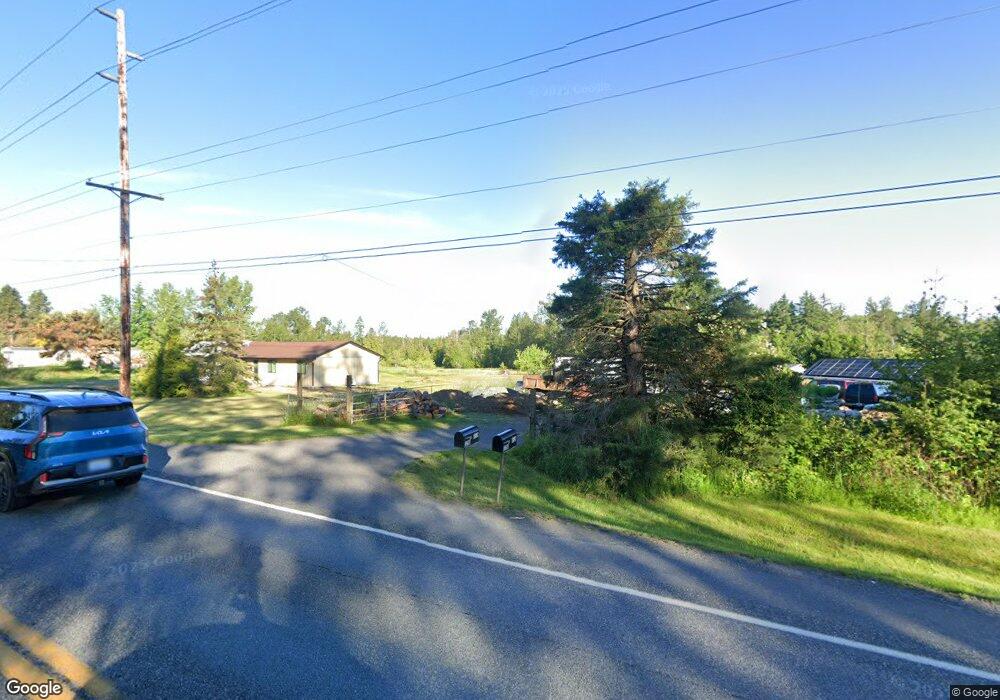
3296 Mt Baker Hwy Bellingham, WA 98226
Estimated Value: $591,000 - $813,979
3
Beds
1
Bath
1,632
Sq Ft
$416/Sq Ft
Est. Value
About This Home
This home is located at 3296 Mt Baker Hwy, Bellingham, WA 98226 and is currently estimated at $678,745, approximately $415 per square foot. 3296 Mt Baker Hwy is a home located in Whatcom County with nearby schools including Mount Baker Senior High School.
Ownership History
Date
Name
Owned For
Owner Type
Purchase Details
Closed on
Jul 19, 2017
Sold by
Zollner John
Bought by
Beam Travis and Beam Sarah K
Current Estimated Value
Home Financials for this Owner
Home Financials are based on the most recent Mortgage that was taken out on this home.
Original Mortgage
$316,658
Outstanding Balance
$262,070
Interest Rate
3.75%
Mortgage Type
FHA
Estimated Equity
$416,675
Purchase Details
Closed on
Dec 4, 2014
Sold by
Zollner Carla
Bought by
Zollner John
Create a Home Valuation Report for This Property
The Home Valuation Report is an in-depth analysis detailing your home's value as well as a comparison with similar homes in the area
Home Values in the Area
Average Home Value in this Area
Purchase History
| Date | Buyer | Sale Price | Title Company |
|---|---|---|---|
| Beam Travis | $322,500 | Chicago Title Insurance | |
| Zollner John | -- | None Available |
Source: Public Records
Mortgage History
| Date | Status | Borrower | Loan Amount |
|---|---|---|---|
| Open | Beam Travis | $316,658 |
Source: Public Records
Tax History Compared to Growth
Tax History
| Year | Tax Paid | Tax Assessment Tax Assessment Total Assessment is a certain percentage of the fair market value that is determined by local assessors to be the total taxable value of land and additions on the property. | Land | Improvement |
|---|---|---|---|---|
| 2024 | $5,817 | $578,668 | $319,097 | $259,571 |
| 2023 | $5,817 | $804,763 | $581,485 | $223,278 |
| 2022 | $5,092 | $659,627 | $476,617 | $183,010 |
| 2021 | $4,597 | $531,953 | $384,365 | $147,588 |
| 2020 | $4,232 | $450,805 | $325,731 | $125,074 |
| 2019 | $3,778 | $397,192 | $286,993 | $110,199 |
| 2018 | $4,677 | $382,947 | $276,700 | $106,247 |
| 2017 | $4,230 | $371,162 | $257,311 | $113,851 |
| 2016 | $4,069 | $358,275 | $248,377 | $109,898 |
| 2015 | $3,752 | $342,165 | $237,209 | $104,956 |
| 2014 | -- | $0 | $0 | $0 |
| 2013 | -- | $0 | $0 | $0 |
Source: Public Records
Map
Nearby Homes
- 3505 E Smith Rd
- 3100 Mt Baker Hwy
- 3025 E Smith Rd
- 5196 Sand Rd
- 5544 Sand Rd
- 2802 Mount Baker Hwy
- 5947 Lawrence Rd
- 0 Hoff Cir
- 2200 E Smith Rd
- 4290 Mt Baker Hwy
- 2529 E Hemmi Rd
- 6068 E Hemmi Ln
- 2571 E Smith Rd
- 5818 Everson Goshen Rd
- 7019 Mount Baker Hwy
- 6583 Goodwin Rd
- 5458 Mount Baker Hwy
- 0 Mt Baker Hwy Unit NWM2371192
- 0 Mt Baker Hwy Unit NWM2230071
- 20 Academy Highlands
- 3310 Mt Baker Hwy
- 3280 Mt Baker Hwy
- 3309 Mount Baker Hwy
- 3309 Mt Baker Hwy
- 3273 Mount Baker Hwy
- 3306 Mt Baker Hwy
- 3335 Mt Baker Hwy
- 3250 Mt Baker Hwy
- 3305 Mt Baker Hwy
- 3265 Mt Baker Hwy
- 3281 E Smith Rd
- 3245 Mt Baker Hwy
- 3323 E Smith Rd
- 3236 Mt Baker Hwy
- 3221 E Smith Rd
- 3308 E Smith Rd
- 3290 E Smith Rd
- 3316 E Smith Rd
- 3384 Mt Baker Hwy
- 3328 E Smith Rd