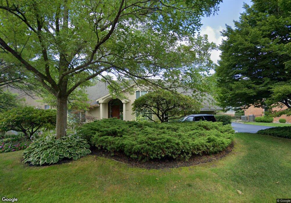
3299 Bloomfield Park Dr West Bloomfield, MI 48323
Estimated Value: $694,000 - $883,827
5
Beds
6
Baths
4,305
Sq Ft
$178/Sq Ft
Est. Value
About This Home
This home is located at 3299 Bloomfield Park Dr, West Bloomfield, MI 48323 and is currently estimated at $764,207, approximately $177 per square foot. 3299 Bloomfield Park Dr is a home located in Oakland County with nearby schools including West Hills Middle School, Bloomfield Hills High School, and The Susan And Rabbi Harold Loss Ecc.
Ownership History
Date
Name
Owned For
Owner Type
Purchase Details
Closed on
Jun 18, 2008
Sold by
Epstein Lori
Bought by
Shapiro Adam and Shapiro Brenda
Current Estimated Value
Purchase Details
Closed on
Sep 6, 2005
Sold by
Lanyi Rex Gregory and Lanyi Carolyn H
Bought by
Epstein Lori
Create a Home Valuation Report for This Property
The Home Valuation Report is an in-depth analysis detailing your home's value as well as a comparison with similar homes in the area
Home Values in the Area
Average Home Value in this Area
Purchase History
| Date | Buyer | Sale Price | Title Company |
|---|---|---|---|
| Shapiro Adam | -- | None Available | |
| Epstein Lori | -- | Capital Title Ins Agency |
Source: Public Records
Tax History Compared to Growth
Tax History
| Year | Tax Paid | Tax Assessment Tax Assessment Total Assessment is a certain percentage of the fair market value that is determined by local assessors to be the total taxable value of land and additions on the property. | Land | Improvement |
|---|---|---|---|---|
| 2024 | $5,928 | $409,690 | $0 | $0 |
| 2022 | $5,729 | $364,270 | $42,500 | $321,770 |
| 2021 | $10,481 | $338,570 | $0 | $0 |
| 2020 | $4,830 | $323,890 | $42,500 | $281,390 |
| 2018 | $10,095 | $341,640 | $39,650 | $301,990 |
| 2015 | -- | $291,150 | $0 | $0 |
| 2014 | -- | $256,720 | $0 | $0 |
| 2011 | -- | $233,520 | $0 | $0 |
Source: Public Records
Map
Nearby Homes
- 4941 Fairway Ridge Cir
- 3075 Bloomfield Park Dr
- 3142 Bloomfield Shore Dr
- 4568 Rolling Ridge Rd
- 3367 Lone Pine Rd
- 3440 Lone Pine Rd
- 4670 Cove Rd
- 4710 Cove Rd
- 4641 Cove Rd
- 4427 Westover Dr
- 4435 Westover Dr
- 3845 Lone Pine Rd Unit 101
- 3835 Lone Pine Rd
- 3925 Lone Pine Rd Unit 300
- 5321 Fairway Ln Unit 7
- 5415 Fairway Ln
- 4274 Wendell Rd
- 2460 Turner St
- 5352 W Doherty Dr
- 3961 Will O Way Ln
- 3307 Bloomfield Park Dr
- 3291 Bloomfield Park Dr
- 3315 Bloomfield Park Dr
- 3285 Bloomfield Park Dr
- 3296 Bloomfield Park Dr
- 3300 Bloomfield Park Dr
- 3280 Bloomfield Park Dr
- 3306 Bloomfield Park Dr
- 3312 Bloomfield Park Dr
- 3314 Bloomfield Park Dr
- 3323 Bloomfield Park Dr
- 4727 Rolling Ridge Rd
- 3283 Bloomfield Park Dr
- 3318 Bloomfield Park Dr
- 3221 Woodview Lake Rd
- 4735 Rolling Ridge Rd
- 3215 Woodview Lake Rd
- 3227 Woodview Lake Rd
- 3243 Woodview Lake Rd
- 3271 Woodview Lake Rd