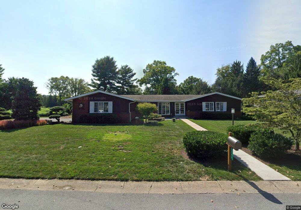
3299 Randy Rd Lancaster, PA 17601
East Hempfield NeighborhoodEstimated Value: $470,414 - $548,000
4
Beds
3
Baths
3,778
Sq Ft
$137/Sq Ft
Est. Value
About This Home
This home is located at 3299 Randy Rd, Lancaster, PA 17601 and is currently estimated at $516,854, approximately $136 per square foot. 3299 Randy Rd is a home located in Lancaster County with nearby schools including Centerville Elementary School, Centerville Middle School, and Hempfield High School.
Ownership History
Date
Name
Owned For
Owner Type
Purchase Details
Closed on
Aug 25, 2008
Sold by
Parker Joseph A
Bought by
Hausner Christina L and Zuber Michael T
Current Estimated Value
Home Financials for this Owner
Home Financials are based on the most recent Mortgage that was taken out on this home.
Original Mortgage
$212,000
Outstanding Balance
$137,699
Interest Rate
6.29%
Mortgage Type
Purchase Money Mortgage
Estimated Equity
$379,155
Create a Home Valuation Report for This Property
The Home Valuation Report is an in-depth analysis detailing your home's value as well as a comparison with similar homes in the area
Home Values in the Area
Average Home Value in this Area
Purchase History
| Date | Buyer | Sale Price | Title Company |
|---|---|---|---|
| Hausner Christina L | $265,000 | None Available |
Source: Public Records
Mortgage History
| Date | Status | Borrower | Loan Amount |
|---|---|---|---|
| Open | Hausner Christina L | $212,000 |
Source: Public Records
Tax History
| Year | Tax Paid | Tax Assessment Tax Assessment Total Assessment is a certain percentage of the fair market value that is determined by local assessors to be the total taxable value of land and additions on the property. | Land | Improvement |
|---|---|---|---|---|
| 2025 | $5,569 | $257,700 | $60,700 | $197,000 |
| 2024 | $5,569 | $257,700 | $60,700 | $197,000 |
| 2023 | $5,458 | $257,700 | $60,700 | $197,000 |
| 2022 | $5,307 | $257,700 | $60,700 | $197,000 |
| 2021 | $5,223 | $257,700 | $60,700 | $197,000 |
| 2020 | $5,223 | $257,700 | $60,700 | $197,000 |
| 2019 | $5,135 | $257,700 | $60,700 | $197,000 |
| 2018 | $1,010 | $257,700 | $60,700 | $197,000 |
| 2017 | $4,910 | $195,000 | $41,700 | $153,300 |
| 2016 | $4,910 | $195,000 | $41,700 | $153,300 |
| 2015 | $986 | $195,000 | $41,700 | $153,300 |
| 2014 | $3,670 | $195,000 | $41,700 | $153,300 |
Source: Public Records
Map
Nearby Homes
- 3710 Little Mac Dr
- 900 Cardinal Rd
- 825 Robin Rd
- 1400 Limestone Ridge
- 2838 Harrisburg Pike
- 1006 Country Place Dr
- 9 Spring Walk Ct
- 3301 Marietta Ave
- 2842 Wimbledon Ln
- 107 Treetops Dr
- 401 Country Place Dr
- 2808 Spring Valley Rd
- 214 Winding Hill Dr
- 123 Pinnacle Point Dr
- 3059 Buckthorn Dr
- 3481 Coronet Ave
- 923 Jade Ave
- 43 Naomi Ave
- 255 Elizabeth St
- 1828 Buchers Mill
- 3293 Randy Rd
- 3294 Randy Rd
- 932 Edinburgh Dr
- 3290 Randy Rd
- 3291 Randy Rd
- 927 Edinburgh Dr
- 3286 Randy Rd
- 3142 Chryst Cir
- 933 Raymee Dr
- 927 Raymee Dr
- 938 Edinburgh Dr
- 3287 Randy Rd
- 939 Raymee Dr
- 933 Edinburgh Dr
- 3136 Chryst Cir
- 3137 Chryst Cir
- 939 Edinburgh Dr
- 945 Raymee Dr
- 3281 Randy Rd
- 950 Edinburgh Dr
Your Personal Tour Guide
Ask me questions while you tour the home.