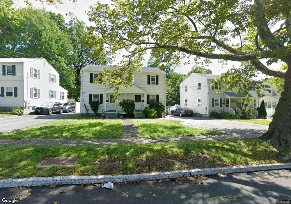
32A Broad St Summit, NJ 07901
Estimated Value: $326,872 - $738,000
Studio
--
Bath
816
Sq Ft
$705/Sq Ft
Est. Value
About This Home
This home is located at 32A Broad St, Summit, NJ 07901 and is currently estimated at $575,291, approximately $705 per square foot. 32A Broad St is a home located in Union County with nearby schools including L C Johnson Summit Middle School, Summit Sr High School, and Kent Place School.
Ownership History
Date
Name
Owned For
Owner Type
Purchase Details
Closed on
Oct 5, 2022
Sold by
Priest Maria L
Bought by
1996 Maria L Priest Separate Property Revocab
Current Estimated Value
Purchase Details
Closed on
Sep 4, 1999
Sold by
Hill Terrel M and Hill Mary Ann
Bought by
Priest Maria L
Purchase Details
Closed on
Aug 29, 1997
Sold by
Dascanio Luigi and Dascanio Paola
Bought by
Hill Terrel M and Hill Mary Ann
Home Financials for this Owner
Home Financials are based on the most recent Mortgage that was taken out on this home.
Original Mortgage
$161,600
Interest Rate
10.87%
Create a Home Valuation Report for This Property
The Home Valuation Report is an in-depth analysis detailing your home's value as well as a comparison with similar homes in the area
Home Values in the Area
Average Home Value in this Area
Purchase History
| Date | Buyer | Sale Price | Title Company |
|---|---|---|---|
| 1996 Maria L Priest Separate Property Revocab | -- | -- | |
| 1996 Maria L Priest Separate Property Revocab | -- | None Listed On Document | |
| 1996 Maria L Priest Separate Property Revocab | -- | -- | |
| 1996 Maria L Priest Separate Property Revocab | -- | None Listed On Document | |
| Priest Maria L | $235,000 | First American Title Ins Co | |
| Hill Terrel M | $202,000 | Chicago Title Insurance Co |
Source: Public Records
Mortgage History
| Date | Status | Borrower | Loan Amount |
|---|---|---|---|
| Previous Owner | Hill Terrel M | $161,600 |
Source: Public Records
Tax History
| Year | Tax Paid | Tax Assessment Tax Assessment Total Assessment is a certain percentage of the fair market value that is determined by local assessors to be the total taxable value of land and additions on the property. | Land | Improvement |
|---|---|---|---|---|
| 2025 | $4,430 | $101,700 | $57,700 | $44,000 |
| 2024 | $4,401 | $101,700 | $57,700 | $44,000 |
| 2023 | $4,401 | $101,700 | $57,700 | $44,000 |
| 2022 | $8,754 | $204,400 | $116,400 | $88,000 |
| 2021 | $8,824 | $204,400 | $116,400 | $88,000 |
| 2020 | $8,912 | $204,400 | $116,400 | $88,000 |
| 2019 | $8,922 | $204,400 | $116,400 | $88,000 |
| 2018 | $8,865 | $204,400 | $116,400 | $88,000 |
| 2017 | $8,922 | $204,400 | $116,400 | $88,000 |
| 2016 | $8,791 | $204,400 | $116,400 | $88,000 |
| 2015 | $8,620 | $204,400 | $116,400 | $88,000 |
| 2014 | $8,397 | $204,400 | $116,400 | $88,000 |
Source: Public Records
Map
Nearby Homes
- 1 Milton Ave
- 65 Springfield Ave
- 39 Huntley Rd
- 97B Troy Dr Unit B
- 7 Canterbury Ln
- 8 Claremont Dr
- 57C Troy Dr
- 8 Edison Dr
- 37-39 Edison Dr
- 28 Morris Ave Unit G4
- 10A Troy Dr Unit 10A
- 5B Troy Dr Unit 1
- 46 Elmwood Place
- 66 Springbrook Rd
- 119 Wellington Ave
- 167 Hobart Ave
- 67 West Rd
- 1 Slope Dr
- 25 Dogwood Dr
- 28 Molter Ave
Your Personal Tour Guide
Ask me questions while you tour the home.