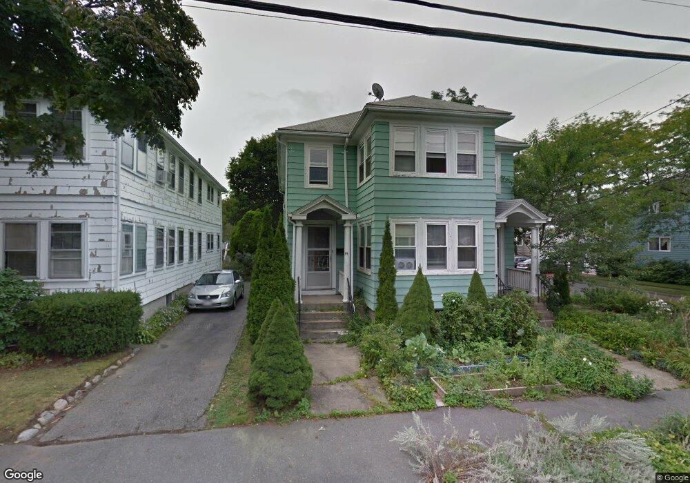
33-35 Bates Rd Swampscott, MA 01907
Estimated Value: $866,000 - $1,181,000
4
Beds
2
Baths
2,632
Sq Ft
$376/Sq Ft
Est. Value
About This Home
This home is located at 33-35 Bates Rd, Swampscott, MA 01907 and is currently estimated at $990,066, approximately $376 per square foot. 33-35 Bates Rd is a home located in Essex County with nearby schools including Swampscott Middle School and Swampscott High School.
Ownership History
Date
Name
Owned For
Owner Type
Purchase Details
Closed on
May 4, 2005
Sold by
Martel Michael P
Bought by
Martel Michael P
Current Estimated Value
Purchase Details
Closed on
Nov 30, 2001
Sold by
Traskina Luba
Bought by
Martel Michael P
Purchase Details
Closed on
Oct 28, 1998
Sold by
Comvest Rt
Bought by
Traskina Luba
Create a Home Valuation Report for This Property
The Home Valuation Report is an in-depth analysis detailing your home's value as well as a comparison with similar homes in the area
Home Values in the Area
Average Home Value in this Area
Purchase History
| Date | Buyer | Sale Price | Title Company |
|---|---|---|---|
| Martel Michael P | -- | -- | |
| Martel Michael P | -- | -- | |
| Martel Michael P | $326,000 | -- | |
| Martel Michael P | $326,000 | -- | |
| Traskina Luba | $220,000 | -- | |
| Traskina Luba | $220,000 | -- |
Source: Public Records
Mortgage History
| Date | Status | Borrower | Loan Amount |
|---|---|---|---|
| Open | Traskina Luba | $260,000 | |
| Closed | Traskina Luba | $233,000 |
Source: Public Records
Tax History
| Year | Tax Paid | Tax Assessment Tax Assessment Total Assessment is a certain percentage of the fair market value that is determined by local assessors to be the total taxable value of land and additions on the property. | Land | Improvement |
|---|---|---|---|---|
| 2025 | $8,882 | $774,400 | $330,800 | $443,600 |
| 2024 | $8,670 | $754,600 | $314,600 | $440,000 |
| 2023 | $8,281 | $705,400 | $282,400 | $423,000 |
| 2022 | $8,178 | $637,400 | $242,000 | $395,400 |
| 2021 | $8,138 | $589,700 | $225,900 | $363,800 |
| 2020 | $7,485 | $523,400 | $201,700 | $321,700 |
| 2019 | $7,328 | $482,100 | $181,500 | $300,600 |
| 2018 | $7,286 | $455,400 | $165,400 | $290,000 |
| 2017 | $7,100 | $406,900 | $154,900 | $252,000 |
| 2016 | $6,870 | $396,400 | $154,900 | $241,500 |
| 2015 | $6,798 | $396,400 | $154,900 | $241,500 |
| 2014 | $6,541 | $349,800 | $129,100 | $220,700 |
Source: Public Records
Map
Nearby Homes
- 35 Alden Rd
- 24 Alden Rd
- 110 Galloupes Point Rd
- 10 Arbutus Rd
- 75 Bay View Dr
- 71 Walnut Rd
- 1 Bond St
- 2 Ocean Ave
- 51 Mountwood Rd
- 50 Mountwood Rd
- 306 Paradise Rd
- 3 Didio Dr
- 37 Stanley Rd
- 178 Norfolk Ave
- 40 Andrew Rd
- 48 Bellevue Rd
- 28 Claremont Terrace Unit 6
- 1002 Paradise Rd Unit PHE
- 64 Stetson Ave
- 108-110 Burrill St Unit 1
- 33 Bates Rd Unit 35
- 37 Bates Rd Unit 39
- 39 Bates Rd Unit 1
- 39 Bates Rd
- 10 Muriel Rd
- 27 Bates Rd Unit 29
- 41 Bates Rd
- 33-35 Bates Road Swampscott
- 9 Charlotte Rd
- 23-25 Bates Rd
- 47 Bates Rd
- 9 Muriel Rd
- 23 Bates Rd Unit 25
- 36 Bates Rd
- 30 Bates Rd
- 16 Muriel Rd
- 13 Charlotte Rd Unit 15
- 13-15 Charlotte Rd
- 13-15 Charlotte Rd Unit 1
- 13 Charlotte Rd Unit 2
Your Personal Tour Guide
Ask me questions while you tour the home.