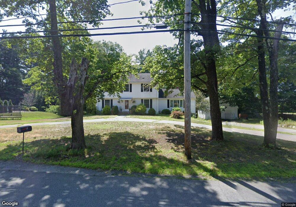
33 7 Star Rd Groveland, MA 01834
Estimated Value: $790,111 - $836,000
4
Beds
3
Baths
2,392
Sq Ft
$337/Sq Ft
Est. Value
About This Home
This home is located at 33 7 Star Rd, Groveland, MA 01834 and is currently estimated at $806,028, approximately $336 per square foot. 33 7 Star Rd is a home located in Essex County with nearby schools including Pentucket Regional High School.
Create a Home Valuation Report for This Property
The Home Valuation Report is an in-depth analysis detailing your home's value as well as a comparison with similar homes in the area
Home Values in the Area
Average Home Value in this Area
Tax History Compared to Growth
Tax History
| Year | Tax Paid | Tax Assessment Tax Assessment Total Assessment is a certain percentage of the fair market value that is determined by local assessors to be the total taxable value of land and additions on the property. | Land | Improvement |
|---|---|---|---|---|
| 2025 | $8,965 | $706,500 | $219,600 | $486,900 |
| 2024 | $8,993 | $664,200 | $208,200 | $456,000 |
| 2023 | $8,196 | $624,200 | $189,300 | $434,900 |
| 2022 | $8,045 | $556,000 | $166,600 | $389,400 |
| 2021 | $7,067 | $480,100 | $151,400 | $328,700 |
| 2020 | $6,516 | $463,800 | $140,100 | $323,700 |
| 2019 | $6,482 | $451,700 | $140,100 | $311,600 |
| 2018 | $6,362 | $433,100 | $132,500 | $300,600 |
| 2017 | $6,158 | $419,500 | $132,500 | $287,000 |
| 2016 | $5,945 | $394,000 | $124,900 | $269,100 |
| 2015 | $5,490 | $375,800 | $119,300 | $256,500 |
| 2014 | $5,279 | $350,500 | $119,300 | $231,200 |
Source: Public Records
Map
Nearby Homes
- 8 Wood St
- 7 Marjorie St
- 3 Marjorie St
- 22-26 Wood St
- 33 Groveland Commons Way
- 18-1/2 Cannon Hill Ave
- 20 Francis Ave
- 98 King St
- 280 E Broadway
- 100 King St
- 47 Gardner St
- 6 Katie Ln
- 28 Coffin Ave
- 0 E Broadway Unit 73335816
- 19 Orchard Ave Unit F
- 23 Orchard Ave Unit E
- 6 Highland Ave
- 144 Old Ferry Rd Unit H
- 106 School St
- 4 Katie Ln