33 Arbor Cir Unit 80 Basking Ridge, NJ 07920
Estimated Value: $595,000 - $667,000
--
Bed
--
Bath
1,659
Sq Ft
$373/Sq Ft
Est. Value
About This Home
This home is located at 33 Arbor Cir Unit 80, Basking Ridge, NJ 07920 and is currently estimated at $619,471, approximately $373 per square foot. 33 Arbor Cir Unit 80 is a home located in Somerset County with nearby schools including Liberty Corner Elementary School, William Annin Middle School, and Ridge High School.
Ownership History
Date
Name
Owned For
Owner Type
Purchase Details
Closed on
Aug 17, 2009
Sold by
Kendall Debra
Bought by
Herrmann Michael E
Current Estimated Value
Home Financials for this Owner
Home Financials are based on the most recent Mortgage that was taken out on this home.
Original Mortgage
$246,000
Outstanding Balance
$160,230
Interest Rate
5.19%
Mortgage Type
New Conventional
Estimated Equity
$459,241
Purchase Details
Closed on
Oct 5, 1995
Sold by
Dibenedetto Mary
Bought by
Kendall Debra
Home Financials for this Owner
Home Financials are based on the most recent Mortgage that was taken out on this home.
Original Mortgage
$195,000
Interest Rate
7.71%
Purchase Details
Closed on
Sep 13, 1993
Sold by
Devt Cears
Bought by
Dibenedetto Charles and Ibenedetto Mary
Home Financials for this Owner
Home Financials are based on the most recent Mortgage that was taken out on this home.
Original Mortgage
$160,000
Interest Rate
6.86%
Create a Home Valuation Report for This Property
The Home Valuation Report is an in-depth analysis detailing your home's value as well as a comparison with similar homes in the area
Home Values in the Area
Average Home Value in this Area
Purchase History
| Date | Buyer | Sale Price | Title Company |
|---|---|---|---|
| Herrmann Michael E | $390,000 | Multiple | |
| Kendall Debra | $217,000 | -- | |
| Dibenedetto Charles | $199,900 | -- |
Source: Public Records
Mortgage History
| Date | Status | Borrower | Loan Amount |
|---|---|---|---|
| Open | Herrmann Michael E | $246,000 | |
| Previous Owner | Kendall Debra | $195,000 | |
| Previous Owner | Dibenedetto Charles | $160,000 |
Source: Public Records
Tax History Compared to Growth
Tax History
| Year | Tax Paid | Tax Assessment Tax Assessment Total Assessment is a certain percentage of the fair market value that is determined by local assessors to be the total taxable value of land and additions on the property. | Land | Improvement |
|---|---|---|---|---|
| 2025 | $8,612 | $513,000 | $175,000 | $338,000 |
| 2024 | $8,612 | $484,100 | $175,000 | $309,100 |
| 2023 | $8,504 | $450,900 | $175,000 | $275,900 |
| 2022 | $8,422 | $418,800 | $175,000 | $243,800 |
| 2021 | $7,670 | $363,500 | $175,000 | $188,500 |
| 2020 | $7,628 | $364,300 | $175,000 | $189,300 |
| 2019 | $7,418 | $364,700 | $175,000 | $189,700 |
| 2018 | $7,475 | $372,800 | $175,000 | $197,800 |
| 2017 | $7,516 | $377,900 | $180,000 | $197,900 |
| 2016 | $7,465 | $382,600 | $180,000 | $202,600 |
| 2015 | $7,183 | $374,900 | $170,000 | $204,900 |
| 2014 | $7,519 | $388,800 | $170,000 | $218,800 |
Source: Public Records
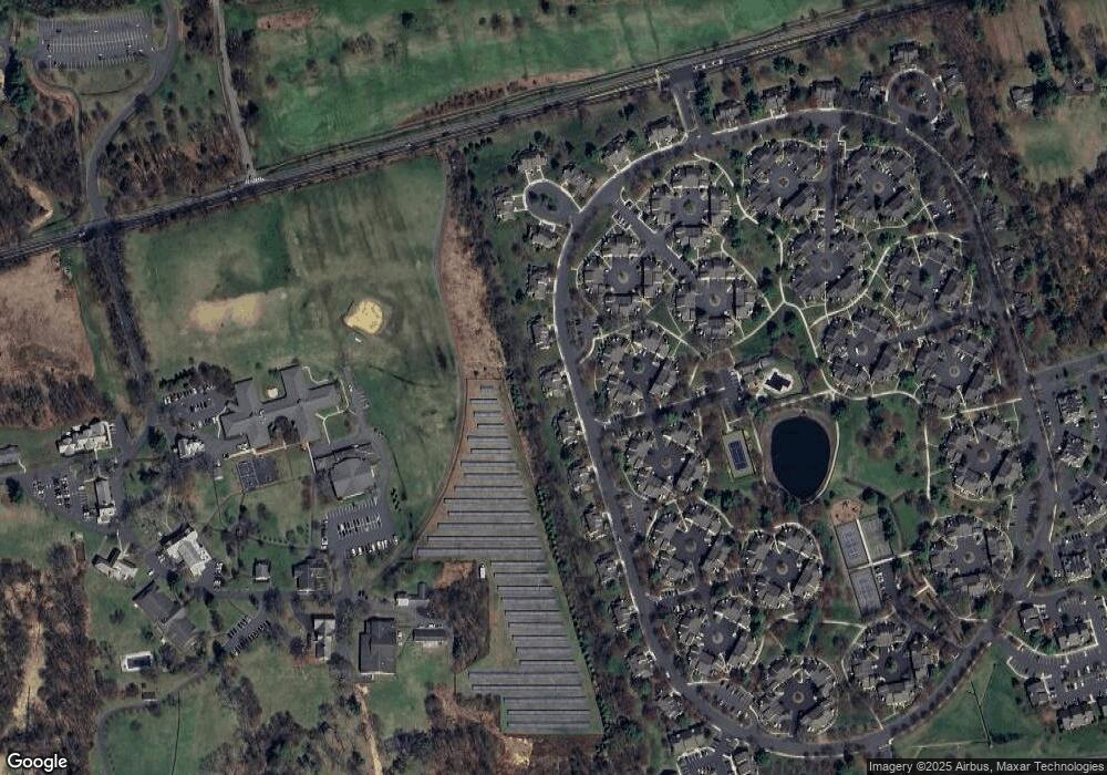
Map
Nearby Homes
- 227 Arrowood Way
- 7 Chestnut Ct
- 2305 Privet Way
- 67 Woodward Ln
- 279 English Place
- 267 English Place
- 22 Woodward Ln
- 23 Hampton Ct
- 14 Woodward Ln
- 242 Alexandria Way
- 138 Alexandria Way Condo Unit 138
- 1 Potomac Dr Condo
- 55 Potomac Dr
- 341 Penns Way Unit D2
- 49 Alexandria Way Unit 5
- 103 Potomac Dr
- 71 Alexandria Way Unit 3
- 10 Baldwin Ave
- 21 Alexandria Way
- 176 Potomac Dr
- 31 Arbor Cir
- 35 Arbor Cir
- 29 Arbor Cir
- 37 Arbor Cir Unit 78
- 229 Arrowood Way
- 230 Arrowood Way
- 228 Arrowood Way
- 27 Arbor Cir
- 231 Arrowood Way
- 232 Arrowood Way
- 226 Arrowood Way
- 233 Arrowood Way
- 39 Arbor Cir
- 41 Arbor Cir
- 25 Arbor Cir
- 249 Crabtree Ct
- 234 Arrowood Way
- 224 Arrowood Way Unit 15224
- 225 Arrowood Way
- 248 Crabtree Ct Unit 17248