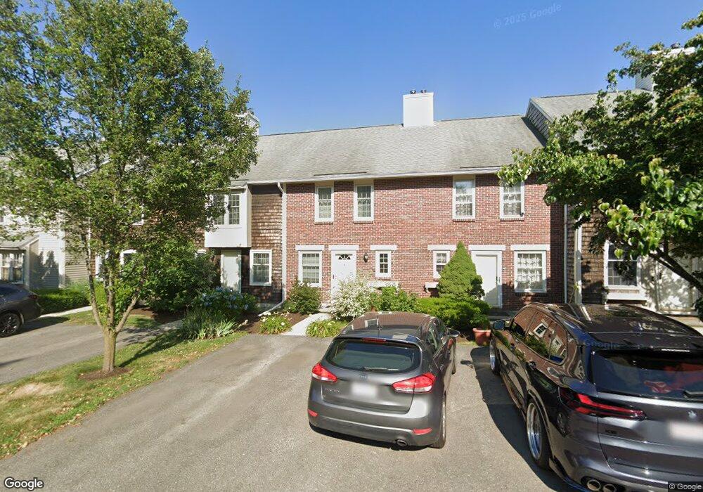
33 Bar Link Way Unit 78,14 Swampscott, MA 01907
Estimated Value: $425,000 - $467,000
2
Beds
2
Baths
1,469
Sq Ft
$304/Sq Ft
Est. Value
About This Home
This home is located at 33 Bar Link Way Unit 78,14, Swampscott, MA 01907 and is currently estimated at $446,676, approximately $304 per square foot. 33 Bar Link Way Unit 78,14 is a home located in Essex County with nearby schools including Swampscott Middle School and Swampscott High School.
Ownership History
Date
Name
Owned For
Owner Type
Purchase Details
Closed on
May 31, 2001
Sold by
Butterworth James M and Dorson Joyce E
Bought by
Shaban Alek and Shaban Olva
Current Estimated Value
Purchase Details
Closed on
Mar 28, 1995
Sold by
Dorson Sylvia
Bought by
Butterworth James and Dorson Joyce
Create a Home Valuation Report for This Property
The Home Valuation Report is an in-depth analysis detailing your home's value as well as a comparison with similar homes in the area
Home Values in the Area
Average Home Value in this Area
Purchase History
| Date | Buyer | Sale Price | Title Company |
|---|---|---|---|
| Shaban Alek | $195,000 | -- | |
| Butterworth James | $117,000 | -- |
Source: Public Records
Mortgage History
| Date | Status | Borrower | Loan Amount |
|---|---|---|---|
| Open | Butterworth James | $25,000 | |
| Open | Butterworth James | $184,000 |
Source: Public Records
Tax History Compared to Growth
Tax History
| Year | Tax Paid | Tax Assessment Tax Assessment Total Assessment is a certain percentage of the fair market value that is determined by local assessors to be the total taxable value of land and additions on the property. | Land | Improvement |
|---|---|---|---|---|
| 2025 | $4,364 | $380,500 | $0 | $380,500 |
| 2024 | $4,408 | $383,600 | $0 | $383,600 |
| 2023 | $4,010 | $341,600 | $0 | $341,600 |
| 2022 | $4,358 | $339,700 | $0 | $339,700 |
| 2021 | $4,279 | $310,100 | $0 | $310,100 |
| 2020 | $3,749 | $262,200 | $0 | $262,200 |
| 2019 | $3,504 | $230,500 | $0 | $230,500 |
| 2018 | $3,434 | $214,600 | $0 | $214,600 |
| 2017 | $3,530 | $202,300 | $0 | $202,300 |
| 2016 | $3,506 | $202,300 | $0 | $202,300 |
| 2015 | $3,341 | $194,800 | $0 | $194,800 |
| 2014 | $3,308 | $176,900 | $0 | $176,900 |
Source: Public Records
Map
Nearby Homes
- 445 Essex St Unit 304
- 10-12 Fairview Ave
- 8 Ryan Place
- 2 Gracie Ln Unit 4
- 1004 Paradise Rd Unit PHJ
- 309 Paradise Rd
- 306 Paradise Rd
- 1006 Paradise Rd Unit 3R
- 27 Weatherly Dr Unit 27
- 51 Barnstable St
- 86 Freedom Hollow
- 6 Loring Hills Ave Unit D3
- 71 Walnut Rd
- 76 Stetson Ave
- 3 Cedarcrest Rd
- 9 Tedesco Pond Place Unit 9
- 106 Norfolk Ave
- 2 Wilfred Terrace
- 98 Paradise Rd
- 71 Greenwood Ave Unit 207
- 23 Bar Link Way
- 25 Bar Link Way
- 29 Bar Link Way
- 31 Bar Link Way
- 33 Bar Link Way
- 37 Bar Link Way
- 31 Bar Link Way Unit 79
- 17 Bar Link Way
- 13 Dead Eye Run
- 21 Bar Link Way
- 19 Bar Link Way
- 15 Bar Link Way
- 11 Bar Link Way
- 9 Bar Link Way
- 15 Dead Eye Run
- 15 Dead Eye Run Unit 91,15
- 16 Dead Eye Run
- 16 Dead Eye Run Unit 97
- 13 Bar Link Way
- 3 Bar Link Way