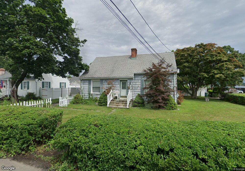
33 Baxter Dr Norwalk, CT 06854
South Norwalk NeighborhoodEstimated Value: $483,000 - $747,562
3
Beds
2
Baths
1,701
Sq Ft
$387/Sq Ft
Est. Value
About This Home
This home is located at 33 Baxter Dr, Norwalk, CT 06854 and is currently estimated at $658,141, approximately $386 per square foot. 33 Baxter Dr is a home located in Fairfield County with nearby schools including Rowayton Elementary School, Roton Middle School, and Brien Mcmahon High School.
Ownership History
Date
Name
Owned For
Owner Type
Purchase Details
Closed on
Oct 28, 1996
Sold by
Definis Frederick and Definis Vilma
Bought by
Caruso John N
Current Estimated Value
Home Financials for this Owner
Home Financials are based on the most recent Mortgage that was taken out on this home.
Original Mortgage
$102,500
Interest Rate
8.22%
Mortgage Type
Unknown
Create a Home Valuation Report for This Property
The Home Valuation Report is an in-depth analysis detailing your home's value as well as a comparison with similar homes in the area
Home Values in the Area
Average Home Value in this Area
Purchase History
| Date | Buyer | Sale Price | Title Company |
|---|---|---|---|
| Caruso John N | $126,500 | -- | |
| Caruso John N | $126,500 | -- |
Source: Public Records
Mortgage History
| Date | Status | Borrower | Loan Amount |
|---|---|---|---|
| Open | Caruso John N | $100,000 | |
| Closed | Caruso John N | $70,995 | |
| Closed | Caruso John N | $99,000 | |
| Closed | Caruso John N | $102,500 |
Source: Public Records
Tax History
| Year | Tax Paid | Tax Assessment Tax Assessment Total Assessment is a certain percentage of the fair market value that is determined by local assessors to be the total taxable value of land and additions on the property. | Land | Improvement |
|---|---|---|---|---|
| 2025 | $9,325 | $390,150 | $196,560 | $193,590 |
| 2024 | $9,186 | $390,150 | $196,560 | $193,590 |
| 2023 | $7,239 | $288,550 | $168,170 | $120,380 |
| 2022 | $7,083 | $288,580 | $168,200 | $120,380 |
| 2021 | $6,917 | $288,550 | $168,170 | $120,380 |
| 2020 | $6,913 | $288,550 | $168,170 | $120,380 |
| 2019 | $6,728 | $288,550 | $168,170 | $120,380 |
| 2018 | $7,208 | $270,920 | $163,540 | $107,380 |
| 2017 | $6,958 | $270,920 | $163,540 | $107,380 |
| 2016 | $6,892 | $270,920 | $163,540 | $107,380 |
| 2015 | $6,873 | $270,920 | $163,540 | $107,380 |
| 2014 | $6,784 | $270,920 | $163,540 | $107,380 |
Source: Public Records
Map
Nearby Homes
- 32 Lincoln Ave
- 25 Lincoln Ave
- 30 Burritt Ave
- 10 Burritt Ave
- 72 Chestnut St Unit 6
- 9 Sylvester Ct
- 31 Splitrock Rd
- 5 Outer Rd
- 199 Gregory Blvd Unit E4
- 199 Gregory Blvd Unit I4
- 28 Chestnut St
- 7 Moscariello Place
- 26 Cove Ave Unit 3B
- 100 Seaview Ave Unit 3I
- 100 Seaview Ave Unit 2J
- 11 Roland Ave
- 126 Washington St Unit 304
- 131 Washington St Unit 204
- 15 Madison St Unit B7
- 125 Washington St Unit 206
Your Personal Tour Guide
Ask me questions while you tour the home.