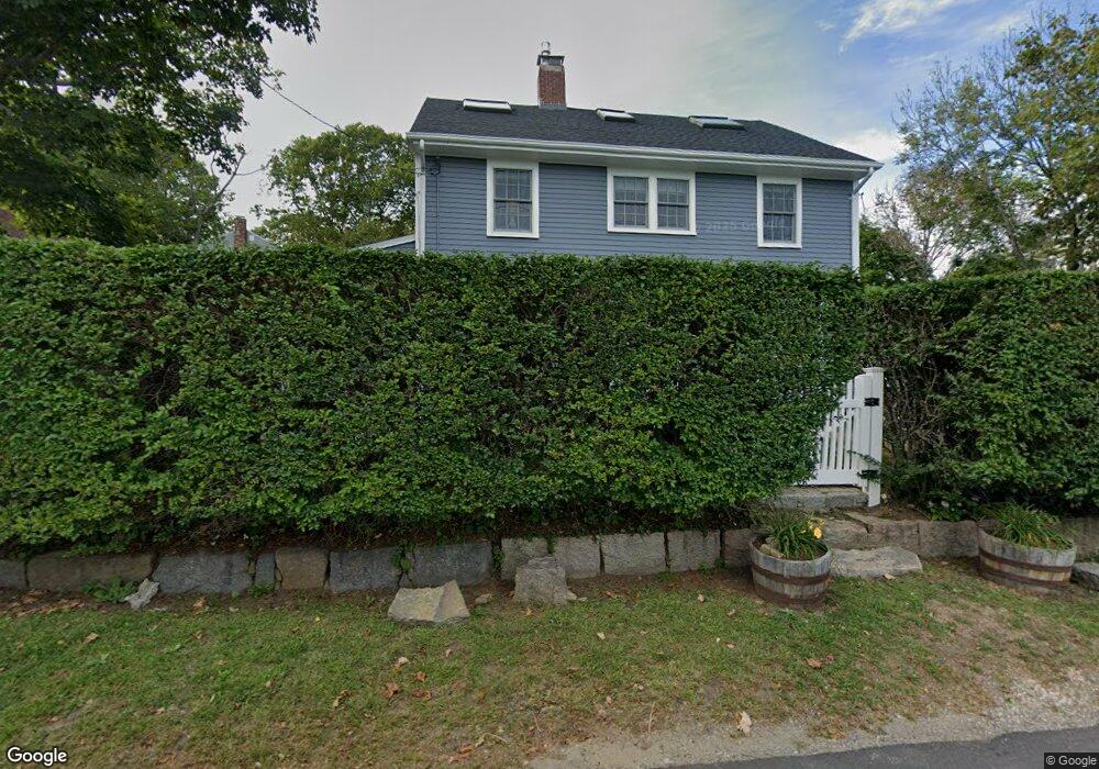
33 Beach Rd Gloucester, MA 01930
Estimated Value: $1,107,565 - $1,386,000
5
Beds
3
Baths
2,217
Sq Ft
$545/Sq Ft
Est. Value
About This Home
This home is located at 33 Beach Rd, Gloucester, MA 01930 and is currently estimated at $1,209,141, approximately $545 per square foot. 33 Beach Rd is a home located in Essex County with nearby schools including Rockport Elementary School, Rockport Middle School, and Rockport High School.
Ownership History
Date
Name
Owned For
Owner Type
Purchase Details
Closed on
Nov 30, 2011
Sold by
Richard Michael P and Richard Heather L
Bought by
Mcanena Stephen J and Mcanena Laura S
Current Estimated Value
Home Financials for this Owner
Home Financials are based on the most recent Mortgage that was taken out on this home.
Original Mortgage
$465,000
Outstanding Balance
$290,144
Interest Rate
4.1%
Mortgage Type
Purchase Money Mortgage
Estimated Equity
$918,997
Purchase Details
Closed on
Apr 5, 2002
Sold by
Hallett Ronald P and Ogle Mary Ann
Bought by
Richard Heather L and Richard Michael P
Home Financials for this Owner
Home Financials are based on the most recent Mortgage that was taken out on this home.
Original Mortgage
$365,500
Interest Rate
6.85%
Mortgage Type
Purchase Money Mortgage
Create a Home Valuation Report for This Property
The Home Valuation Report is an in-depth analysis detailing your home's value as well as a comparison with similar homes in the area
Home Values in the Area
Average Home Value in this Area
Purchase History
| Date | Buyer | Sale Price | Title Company |
|---|---|---|---|
| Mcanena Stephen J | $610,000 | -- | |
| Richard Heather L | $430,000 | -- |
Source: Public Records
Mortgage History
| Date | Status | Borrower | Loan Amount |
|---|---|---|---|
| Open | Mcanena Stephen J | $465,000 | |
| Previous Owner | Richard Heather L | $20,000 | |
| Previous Owner | Richard Heather L | $365,500 |
Source: Public Records
Tax History Compared to Growth
Tax History
| Year | Tax Paid | Tax Assessment Tax Assessment Total Assessment is a certain percentage of the fair market value that is determined by local assessors to be the total taxable value of land and additions on the property. | Land | Improvement |
|---|---|---|---|---|
| 2025 | $9,226 | $949,200 | $434,900 | $514,300 |
| 2024 | $9,822 | $1,009,500 | $414,200 | $595,300 |
| 2023 | $9,278 | $876,100 | $353,300 | $522,800 |
| 2022 | $9,216 | $785,700 | $307,200 | $478,500 |
| 2021 | $8,918 | $716,900 | $279,300 | $437,600 |
| 2020 | $8,833 | $716,400 | $279,300 | $437,100 |
| 2019 | $8,401 | $662,000 | $266,300 | $395,700 |
| 2018 | $8,095 | $626,100 | $259,800 | $366,300 |
| 2017 | $7,860 | $595,900 | $247,500 | $348,400 |
| 2016 | $7,521 | $552,600 | $236,900 | $315,700 |
| 2015 | $7,162 | $524,700 | $231,500 | $293,200 |
Source: Public Records
Map
Nearby Homes
- 25 Salt Island Rd
- 33 Highview Rd
- 26 Marina Dr
- 27 Hodgkins Rd
- 16 Hodgkins Rd Unit 2
- 9 & 11 Helens Way
- 177 Main St
- 29 Harrison Ave
- 34R Summer St
- 48 Eden Rd
- 20 Haskell St
- 5 Marshall Ln
- 9 Rocky Pasture Rd
- 57 Mt Pleasant St Unit 2B
- 36 Links Rd
- 4 Norwood Ave
- 30 Chapel St Unit B
- 22 Taylor St Unit 1
- 1 Main St Unit R
- 1 Main St Unit C