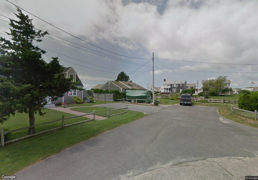
33 Beach View Rd West Dennis, MA 02670
West Dennis NeighborhoodEstimated Value: $1,798,000 - $3,084,681
3
Beds
4
Baths
3,100
Sq Ft
$751/Sq Ft
Est. Value
About This Home
This home is located at 33 Beach View Rd, West Dennis, MA 02670 and is currently estimated at $2,327,420, approximately $750 per square foot. 33 Beach View Rd is a home located in Barnstable County with nearby schools including Dennis-Yarmouth Regional High School and St. Pius X. School.
Ownership History
Date
Name
Owned For
Owner Type
Purchase Details
Closed on
Aug 9, 2002
Sold by
Dailey Kevin R
Bought by
Scavone Joseph M and Scavone Jennifer B
Current Estimated Value
Home Financials for this Owner
Home Financials are based on the most recent Mortgage that was taken out on this home.
Original Mortgage
$500,000
Outstanding Balance
$212,028
Interest Rate
6.58%
Mortgage Type
Purchase Money Mortgage
Estimated Equity
$2,115,392
Create a Home Valuation Report for This Property
The Home Valuation Report is an in-depth analysis detailing your home's value as well as a comparison with similar homes in the area
Home Values in the Area
Average Home Value in this Area
Purchase History
| Date | Buyer | Sale Price | Title Company |
|---|---|---|---|
| Scavone Joseph M | $860,000 | -- |
Source: Public Records
Mortgage History
| Date | Status | Borrower | Loan Amount |
|---|---|---|---|
| Open | Scavone Joseph M | $125,000 | |
| Open | Scavone Joseph M | $500,000 | |
| Previous Owner | Scavone Joseph M | $30,000 |
Source: Public Records
Tax History Compared to Growth
Tax History
| Year | Tax Paid | Tax Assessment Tax Assessment Total Assessment is a certain percentage of the fair market value that is determined by local assessors to be the total taxable value of land and additions on the property. | Land | Improvement |
|---|---|---|---|---|
| 2025 | $10,324 | $2,384,300 | $1,176,300 | $1,208,000 |
| 2024 | $10,289 | $2,343,700 | $1,131,200 | $1,212,500 |
| 2023 | $9,468 | $2,027,400 | $1,028,300 | $999,100 |
| 2022 | $8,761 | $1,564,400 | $815,200 | $749,200 |
| 2021 | $8,946 | $1,483,600 | $799,200 | $684,400 |
| 2020 | $7,321 | $1,200,100 | $799,200 | $400,900 |
| 2019 | $8,106 | $786,200 | $783,600 | $2,600 |
| 2018 | $3,119 | $875,300 | $745,900 | $129,400 |
| 2017 | $7,303 | $831,800 | $706,400 | $125,400 |
| 2016 | $5,831 | $892,900 | $785,500 | $107,400 |
| 2015 | $5,715 | $892,900 | $785,500 | $107,400 |
| 2014 | $5,670 | $892,900 | $785,500 | $107,400 |
Source: Public Records
Map
Nearby Homes
- 2 Rita Mary Way
- 178 School St
- 14 Schoolhouse Ln
- 209 Main St Unit 3
- 209 Main St Unit 6
- 209 Main St Unit 1
- 209 Main St Unit 2
- 209 Main St Unit 4
- 209 Main St Unit 5
- 23 Doric Ave
- 401 Main St Unit 201
- 401 Main St Unit 101
- 181 Pleasant St
- 308 Old Main St
- 6 Baker Way
- 467 Main St
- 45 Seth Ln
- 40 Kelley Rd
- 61 Trotters Ln
- 745 Willow St
- 29 Beach View Rd
- 32 Beach View Rd
- 23 Beach View Rd
- 18 Harbor Way
- 10 Harbor Way
- 65 Surfside Rd
- 19 Beach View Rd
- 6 Harbor Way
- 69 Surfside Rd
- 20 Beach View Rd
- 75 Surfside Rd
- 63 Surfside Rd
- 13 Harbor Way
- 19 Harbor Way
- 17 Beach View Rd
- 9 Harbor Way
- 81 Surfside Rd
- 7 Harbor Way
- 72 Surfside Rd
- 74 Surfside Rd