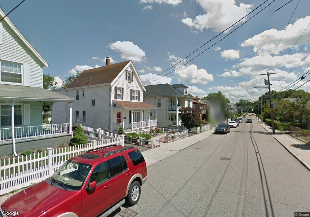
33 Blake St Mattapan, MA 02126
Hyde Park NeighborhoodEstimated Value: $677,000 - $828,000
6
Beds
2
Baths
2,635
Sq Ft
$291/Sq Ft
Est. Value
About This Home
This home is located at 33 Blake St, Mattapan, MA 02126 and is currently estimated at $766,748, approximately $290 per square foot. 33 Blake St is a home located in Suffolk County with nearby schools including Boston Preparatory Charter Public School and New Beginnings Academy.
Ownership History
Date
Name
Owned For
Owner Type
Purchase Details
Closed on
Jul 19, 2007
Sold by
Ferdinand Gregory and Alvar Yvane
Bought by
Gabriel Emmanuel and Alvar Yvane
Current Estimated Value
Home Financials for this Owner
Home Financials are based on the most recent Mortgage that was taken out on this home.
Original Mortgage
$344,592
Outstanding Balance
$214,820
Interest Rate
6.54%
Mortgage Type
Purchase Money Mortgage
Estimated Equity
$551,928
Purchase Details
Closed on
May 28, 1996
Sold by
Fnma
Bought by
Alouidor David and Alvar Yvane
Purchase Details
Closed on
Jan 9, 1996
Sold by
Jusme Marie R and Citizens Bk Of Mass
Bought by
Citizens Bank Mass
Purchase Details
Closed on
Oct 14, 1993
Sold by
Gerton Joacy and Gerton Yvanne S
Bought by
Jusme Marie R
Create a Home Valuation Report for This Property
The Home Valuation Report is an in-depth analysis detailing your home's value as well as a comparison with similar homes in the area
Home Values in the Area
Average Home Value in this Area
Purchase History
| Date | Buyer | Sale Price | Title Company |
|---|---|---|---|
| Gabriel Emmanuel | -- | -- | |
| Alouidor David | $114,435 | -- | |
| Citizens Bank Mass | $104,500 | -- | |
| Jusme Marie R | $165,000 | -- |
Source: Public Records
Mortgage History
| Date | Status | Borrower | Loan Amount |
|---|---|---|---|
| Open | Gabriel Emmanuel | $344,592 | |
| Previous Owner | Jusme Marie R | $196,716 | |
| Previous Owner | Jusme Marie R | $173,000 | |
| Previous Owner | Jusme Marie R | $149,000 |
Source: Public Records
Tax History
| Year | Tax Paid | Tax Assessment Tax Assessment Total Assessment is a certain percentage of the fair market value that is determined by local assessors to be the total taxable value of land and additions on the property. | Land | Improvement |
|---|---|---|---|---|
| 2025 | $8,068 | $696,700 | $193,300 | $503,400 |
| 2024 | $7,274 | $667,300 | $178,800 | $488,500 |
| 2023 | $6,701 | $623,900 | $167,200 | $456,700 |
| 2022 | $6,285 | $577,700 | $154,800 | $422,900 |
| 2021 | $5,870 | $550,100 | $147,400 | $402,700 |
| 2020 | $5,334 | $505,100 | $132,800 | $372,300 |
| 2019 | $4,920 | $466,800 | $105,800 | $361,000 |
| 2018 | $4,446 | $424,200 | $105,800 | $318,400 |
| 2017 | $4,123 | $389,300 | $105,800 | $283,500 |
| 2016 | $4,040 | $367,300 | $105,800 | $261,500 |
| 2015 | $3,870 | $319,600 | $113,300 | $206,300 |
| 2014 | $3,654 | $290,500 | $113,300 | $177,200 |
Source: Public Records
Map
Nearby Homes
- 7 Winborough St
- 52 Taunton Ave
- 106 Lewiston St
- 27 Ralwood Rd
- 24 Belnel Rd
- 0 Tina Ave
- 34 Ridlon Rd
- 23 Caton St
- 20 Massasoit St
- 75-77 Belnel Rd
- 19 Melba Way
- 30 Massasoit St
- 645 River St
- 18 Rugby Rd
- 265 Hebron St
- 640 River St
- 839-843 Cummins Hwy
- 87 Victoria Heights Rd
- 65 Victoria Heights Rd Unit 65
- 16 Concord Ave Unit 1
Your Personal Tour Guide
Ask me questions while you tour the home.