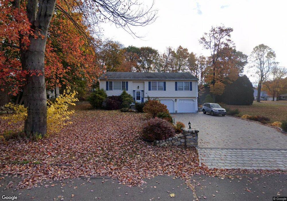
33 Blansfield Ln Wolcott, CT 06716
Estimated Value: $434,000 - $459,805
3
Beds
7
Baths
1,490
Sq Ft
$298/Sq Ft
Est. Value
About This Home
This home is located at 33 Blansfield Ln, Wolcott, CT 06716 and is currently estimated at $443,701, approximately $297 per square foot. 33 Blansfield Ln is a home located in New Haven County with nearby schools including Tyrrell Middle School and Wolcott High School.
Ownership History
Date
Name
Owned For
Owner Type
Purchase Details
Closed on
Aug 17, 2011
Sold by
Lombardo Joseph S and Lombardo Luanne
Bought by
Ajce Zamira and Ajce Ylli
Current Estimated Value
Home Financials for this Owner
Home Financials are based on the most recent Mortgage that was taken out on this home.
Original Mortgage
$211,900
Interest Rate
4.62%
Purchase Details
Closed on
Dec 5, 2000
Sold by
Bldr F Rosa Qlty
Bought by
Lombardo Jsoeph S and Lombardo Luanne
Create a Home Valuation Report for This Property
The Home Valuation Report is an in-depth analysis detailing your home's value as well as a comparison with similar homes in the area
Home Values in the Area
Average Home Value in this Area
Purchase History
| Date | Buyer | Sale Price | Title Company |
|---|---|---|---|
| Ajce Zamira | $264,900 | -- | |
| Lombardo Jsoeph S | $165,900 | -- |
Source: Public Records
Mortgage History
| Date | Status | Borrower | Loan Amount |
|---|---|---|---|
| Open | Lombardo Jsoeph S | $212,000 | |
| Closed | Lombardo Jsoeph S | $211,900 | |
| Previous Owner | Lombardo Jsoeph S | $180,000 |
Source: Public Records
Tax History Compared to Growth
Tax History
| Year | Tax Paid | Tax Assessment Tax Assessment Total Assessment is a certain percentage of the fair market value that is determined by local assessors to be the total taxable value of land and additions on the property. | Land | Improvement |
|---|---|---|---|---|
| 2025 | $7,248 | $201,720 | $41,920 | $159,800 |
| 2024 | $6,671 | $201,720 | $41,920 | $159,800 |
| 2023 | $6,429 | $201,720 | $41,920 | $159,800 |
| 2022 | $6,213 | $201,720 | $41,920 | $159,800 |
| 2021 | $5,880 | $177,430 | $39,820 | $137,610 |
| 2020 | $5,880 | $177,430 | $39,820 | $137,610 |
| 2019 | $5,880 | $177,430 | $39,820 | $137,610 |
| 2018 | $5,713 | $177,430 | $39,820 | $137,610 |
| 2017 | $5,548 | $177,430 | $39,820 | $137,610 |
| 2016 | $5,068 | $175,300 | $40,520 | $134,780 |
| 2015 | $4,922 | $175,300 | $40,520 | $134,780 |
| 2014 | $4,763 | $175,300 | $40,520 | $134,780 |
Source: Public Records
Map
Nearby Homes
- 1 Winfield Ave
- 13 Williams Ct
- 226 Clinton Hill Rd
- 17 Forestview Dr
- 16 Oakengate Rd
- 0 Spindle Hill Rd Unit 24062265
- 8 Oakengate Rd
- 0 Grassy Hill Rd Unit 24070167
- 440 Chestnut Hill Ave
- 22 Pembroke Hill Rd
- 701 Bucks Hill Rd
- 9 Pembroke Hill Rd
- Lots 70B and 71B Spindle Hill Rd
- 36 Randall Place
- 264 Lyman Rd Unit 2-11
- 128 Lyman Rd Unit 24
- 128 Lyman Rd Unit 25
- 0 Montoe Rd
- 108 Crestwood Ave
- 8 Cornfield Rd