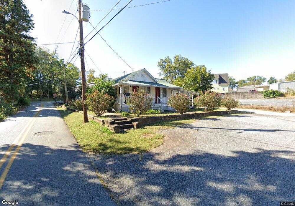
33 Boyd Cir Dahlonega, GA 30533
Estimated Value: $238,000 - $358,000
--
Bed
1
Bath
841
Sq Ft
$359/Sq Ft
Est. Value
About This Home
This home is located at 33 Boyd Cir, Dahlonega, GA 30533 and is currently estimated at $302,066, approximately $359 per square foot. 33 Boyd Cir is a home located in Lumpkin County with nearby schools including Clay County Middle School and Lumpkin County High School.
Ownership History
Date
Name
Owned For
Owner Type
Purchase Details
Closed on
Mar 23, 2021
Sold by
Ferguson Dana Clark
Bought by
Upper East Side Llc
Current Estimated Value
Purchase Details
Closed on
Jun 30, 1998
Bought by
Ferguson Dana Clark
Purchase Details
Closed on
Sep 12, 1996
Sold by
Sartain Joe B
Bought by
Clark El Parks Chas
Purchase Details
Closed on
Feb 26, 1992
Sold by
Julia
Bought by
Ridley Charles A
Purchase Details
Closed on
Aug 15, 1990
Sold by
Decorating
Bought by
Dahlonega Paint
Purchase Details
Closed on
Jul 1, 1982
Sold by
Bryan L
Bought by
Stevens Emilie F
Create a Home Valuation Report for This Property
The Home Valuation Report is an in-depth analysis detailing your home's value as well as a comparison with similar homes in the area
Home Values in the Area
Average Home Value in this Area
Purchase History
| Date | Buyer | Sale Price | Title Company |
|---|---|---|---|
| Upper East Side Llc | $1,000,000 | -- | |
| Ferguson Dana Clark | $90,000 | -- | |
| Clark El Parks Chas | $20,000 | -- | |
| Ridley Charles A | $45,000 | -- | |
| Dahlonega Paint | $40,000 | -- | |
| Stevens Emilie F | -- | -- |
Source: Public Records
Tax History Compared to Growth
Tax History
| Year | Tax Paid | Tax Assessment Tax Assessment Total Assessment is a certain percentage of the fair market value that is determined by local assessors to be the total taxable value of land and additions on the property. | Land | Improvement |
|---|---|---|---|---|
| 2024 | $2,359 | $87,658 | $49,266 | $38,392 |
| 2023 | $2,527 | $87,658 | $49,266 | $38,392 |
| 2022 | $1,831 | $59,935 | $39,413 | $20,522 |
| 2021 | $1,189 | $36,452 | $19,706 | $16,746 |
| 2020 | $1,217 | $35,917 | $19,706 | $16,211 |
| 2019 | $1,223 | $35,917 | $19,706 | $16,211 |
| 2018 | $1,231 | $33,824 | $19,706 | $14,118 |
| 2017 | $1,259 | $34,026 | $19,706 | $14,320 |
| 2016 | $1,232 | $32,574 | $19,706 | $12,868 |
| 2015 | $1,062 | $32,574 | $19,706 | $12,868 |
| 2014 | $1,062 | $32,808 | $19,706 | $13,102 |
| 2013 | -- | $33,276 | $19,706 | $13,570 |
Source: Public Records
Map
Nearby Homes
- 0 Highway 19 N Unit 10594984
- 95 Jones St
- 0 S Chestatee St Unit 10619536
- 399 N Chestatee St
- 315 Church St
- 1392 S Chestatee St
- 168 W Main St
- 329 Morrison Moore Pkwy E
- 6480A Highway 52
- 120 Riley Rd
- 502 Wimpy Mill Rd
- 0 Highway 60 Unit 7241582
- 94 Mountain View Dr
- 0 Highway 9 S Unit 10487179
- 0 Highway 9 S Unit 7548614
- 0 Calhoun Rd Unit 7643314
- 0 Calhoun Rd Unit 10598012
- 00 Calhoun Rd
- 97 Beaumont Dr
- 0 Alicia Ln
- 51 Boyd Cir
- 38 Boyd Cir
- 21 Enota St
- 61 Boyd Cir
- 61 Boyd Cir Unit A
- 125 E Main St
- 119A Boyd Cir
- 119 Boyd Cir
- 119 Boyd Cir Unit D
- 119 Boyd Cir Unit J
- 119 Boyd Cir Unit I
- 119 Boyd Cir Unit H
- 119 Boyd Cir Unit G
- 119 Boyd Cir Unit F
- 119 Boyd Cir Unit E
- 119 Boyd Cir Unit D
- 119 Boyd Cir Unit C
- 119 Boyd Cir Unit B
- 119 Boyd Cir Unit A
- 119A Boyd Cir Unit A