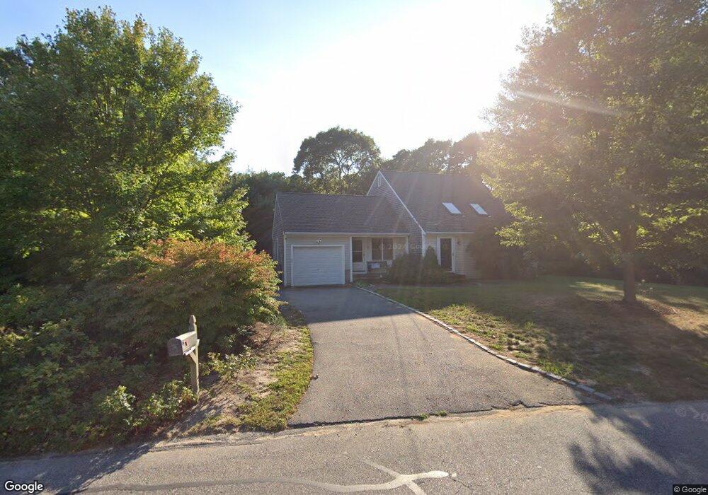
33 Bray Farm Rd S Yarmouth Port, MA 02675
Yarmouth Port NeighborhoodEstimated Value: $652,000 - $899,000
3
Beds
2
Baths
1,256
Sq Ft
$597/Sq Ft
Est. Value
About This Home
This home is located at 33 Bray Farm Rd S, Yarmouth Port, MA 02675 and is currently estimated at $749,803, approximately $596 per square foot. 33 Bray Farm Rd S is a home located in Barnstable County with nearby schools including Dennis-Yarmouth Regional High School.
Ownership History
Date
Name
Owned For
Owner Type
Purchase Details
Closed on
Jan 30, 2007
Sold by
Mccaffery Kimberley and Mccaffery Michael J
Bought by
Thiele Jutta
Current Estimated Value
Home Financials for this Owner
Home Financials are based on the most recent Mortgage that was taken out on this home.
Original Mortgage
$287,200
Outstanding Balance
$171,925
Interest Rate
6.15%
Mortgage Type
Purchase Money Mortgage
Estimated Equity
$577,878
Purchase Details
Closed on
Jul 2, 2001
Sold by
Kimball Frank J and Kimball Lianne
Bought by
Mccaffery Kimberly and Mccaffery Michael J
Home Financials for this Owner
Home Financials are based on the most recent Mortgage that was taken out on this home.
Original Mortgage
$130,000
Interest Rate
7.14%
Mortgage Type
Purchase Money Mortgage
Create a Home Valuation Report for This Property
The Home Valuation Report is an in-depth analysis detailing your home's value as well as a comparison with similar homes in the area
Home Values in the Area
Average Home Value in this Area
Purchase History
| Date | Buyer | Sale Price | Title Company |
|---|---|---|---|
| Thiele Jutta | $359,000 | -- | |
| Mccaffery Kimberly | $249,900 | -- |
Source: Public Records
Mortgage History
| Date | Status | Borrower | Loan Amount |
|---|---|---|---|
| Open | Mccaffery Kimberly | $287,200 | |
| Previous Owner | Mccaffery Kimberly | $57,914 | |
| Previous Owner | Mccaffery Kimberly | $130,000 |
Source: Public Records
Tax History Compared to Growth
Tax History
| Year | Tax Paid | Tax Assessment Tax Assessment Total Assessment is a certain percentage of the fair market value that is determined by local assessors to be the total taxable value of land and additions on the property. | Land | Improvement |
|---|---|---|---|---|
| 2025 | $4,761 | $672,400 | $240,800 | $431,600 |
| 2024 | $4,404 | $596,700 | $209,500 | $387,200 |
| 2023 | $4,300 | $530,200 | $176,800 | $353,400 |
| 2022 | $3,902 | $425,000 | $158,200 | $266,800 |
| 2021 | $3,848 | $402,500 | $158,200 | $244,300 |
| 2020 | $3,706 | $370,600 | $155,700 | $214,900 |
| 2019 | $3,410 | $337,600 | $155,700 | $181,900 |
| 2018 | $3,380 | $328,500 | $146,600 | $181,900 |
| 2017 | $3,292 | $328,500 | $146,600 | $181,900 |
| 2016 | $3,278 | $328,500 | $146,600 | $181,900 |
| 2015 | $3,149 | $313,600 | $146,600 | $167,000 |
Source: Public Records
Map
Nearby Homes
- 64 Kates Path
- 17 Nottingham Dr
- 20 Trophy Ln
- 19 John Halls Cartpath Village Unit E
- 228 Kates Path
- 19 John Hall Cartway Unit E
- 17 Kates Path Unit A
- 59 Route 6a Unit 29-4
- 6 Nimble Hill Dr
- 158 Kates Path
- 4208 Heatherwood
- 24 Greenland Cir
- 800 Route 6a
- 800 Route 6a
- 28 Oak Glen
- 268 Main St
- 9 Forest Gate
- 25 Oak Glen Village Unit 25
- 25 Oak Glen
- 30 W Woods
- 39 Bray Farm Rd S
- 25 Bray Farm Rd S
- 32 Bray Farm Rd S
- 41 Bray Farm Rd S
- 45 Bray Farm Rd S
- 42 Bray Farm Rd S
- 28 Bray Farm Rd S
- 10 Campion Rd
- 21 Bray Farm Rd S
- 46 Bray Farm Rd S
- 42 Walden Place
- 11 Campion Rd
- 49 Bray Farm Rd S
- 42 Walden Way
- 20 Bray Farm Rd S
- 50 Bray Farm Rd S
- 9 Dover Rd
- 14 Campion Rd
- 41 Walden Way
- 15 Dover Rd