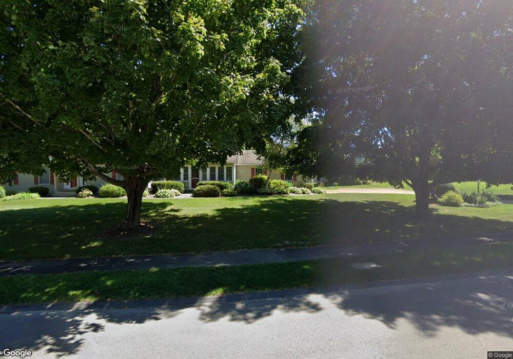
33 Brookside Dr Pittsfield, MA 01201
Estimated Value: $671,000 - $742,000
4
Beds
3
Baths
3,488
Sq Ft
$199/Sq Ft
Est. Value
About This Home
This home is located at 33 Brookside Dr, Pittsfield, MA 01201 and is currently estimated at $694,870, approximately $199 per square foot. 33 Brookside Dr is a home located in Berkshire County with nearby schools including Williams Elementary School, Theodore Herberg Middle School, and Pittsfield High School.
Ownership History
Date
Name
Owned For
Owner Type
Purchase Details
Closed on
Dec 10, 2002
Sold by
Campana Hirt R and Campana Lynn M
Bought by
Kramer Eric M and Rawlings Sharon J
Current Estimated Value
Home Financials for this Owner
Home Financials are based on the most recent Mortgage that was taken out on this home.
Original Mortgage
$292,000
Outstanding Balance
$124,028
Interest Rate
6.34%
Mortgage Type
Purchase Money Mortgage
Estimated Equity
$570,842
Purchase Details
Closed on
Aug 1, 1996
Sold by
Bard Robert C and Bard Jean E
Bought by
Hirt R Paul and Campana Lynn M
Home Financials for this Owner
Home Financials are based on the most recent Mortgage that was taken out on this home.
Original Mortgage
$180,000
Interest Rate
8.27%
Mortgage Type
Purchase Money Mortgage
Create a Home Valuation Report for This Property
The Home Valuation Report is an in-depth analysis detailing your home's value as well as a comparison with similar homes in the area
Home Values in the Area
Average Home Value in this Area
Purchase History
| Date | Buyer | Sale Price | Title Company |
|---|---|---|---|
| Kramer Eric M | $365,000 | -- | |
| Kramer Eric M | $365,000 | -- | |
| Kramer Eric M | $365,000 | -- | |
| Hirt R Paul | $290,000 | -- | |
| Campana Hirt R | $290,000 | -- |
Source: Public Records
Mortgage History
| Date | Status | Borrower | Loan Amount |
|---|---|---|---|
| Open | Kramer Eric M | $292,000 | |
| Closed | Kramer Eric M | $292,000 | |
| Previous Owner | Campana Hirt R | $180,000 | |
| Previous Owner | Campana Hirt R | $72,000 |
Source: Public Records
Tax History
| Year | Tax Paid | Tax Assessment Tax Assessment Total Assessment is a certain percentage of the fair market value that is determined by local assessors to be the total taxable value of land and additions on the property. | Land | Improvement |
|---|---|---|---|---|
| 2025 | $11,580 | $645,500 | $75,700 | $569,800 |
| 2024 | $10,338 | $560,300 | $75,700 | $484,600 |
| 2023 | $9,466 | $516,700 | $75,700 | $441,000 |
| 2022 | $8,608 | $463,800 | $75,700 | $388,100 |
| 2021 | $8,684 | $451,100 | $75,700 | $375,400 |
| 2020 | $9,013 | $457,300 | $75,700 | $381,600 |
| 2019 | $8,444 | $434,800 | $75,700 | $359,100 |
| 2018 | $8,328 | $416,200 | $70,700 | $345,500 |
| 2017 | $8,017 | $408,400 | $75,700 | $332,700 |
| 2016 | $7,785 | $415,000 | $75,700 | $339,300 |
| 2015 | $7,495 | $415,000 | $75,700 | $339,300 |
Source: Public Records
Map
Nearby Homes
- 26 Brookside Dr
- 4 Filomena Dr
- 28 Jayne Ave
- 461 Elm St
- 104 Washington Mountain Rd
- 100 Elaine Dr
- 161 Leona Dr
- 31 Eric Dr
- 612 E New Lenox Rd
- 10 Marlboro Dr
- 51 Foote Ave
- 17 Kenwood St
- 121 Edward Ave
- 0 Dalton Division Rd
- 39 Lexington Pkwy
- 43 Palomino Dr
- 57 Palomino Dr
- 50 Grand Ave
- 67 Reuter Ave
- 240 Kirchner Rd
- 140 Alfred Dr
- 29 Brookside Dr
- 132 Alfred Dr
- 148 Alfred Dr
- 30 Brookside Dr
- 124 Alfred Dr
- 34 Brookside Dr
- 36 Brookside Dr
- 27 Brookside Dr
- 28 Brookside Dr
- 38 Brookside Dr
- 116 Alfred Dr
- 139 Alfred Dr
- 147 Alfred Dr
- 131 Alfred Dr
- 40 Brookside Dr
- 91 Stonehenge Rd
- 43 Brookside Dr
- 123 Alfred Dr
- 108 Alfred Dr