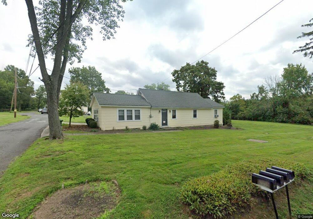
33 Burnt Hill Rd Unit 2 Skillman, NJ 08558
Estimated Value: $934,000 - $1,372,000
1
Bed
1
Bath
4,976
Sq Ft
$214/Sq Ft
Est. Value
About This Home
This home is located at 33 Burnt Hill Rd Unit 2, Skillman, NJ 08558 and is currently estimated at $1,062,877, approximately $213 per square foot. 33 Burnt Hill Rd Unit 2 is a home located in Somerset County with nearby schools including Orchard Hill Elementary School, Village Elementary School, and Montgomery Lower Mid School.
Ownership History
Date
Name
Owned For
Owner Type
Purchase Details
Closed on
Jan 10, 2006
Sold by
Ind+ Virginia Ianuzzi
Bought by
Back Porch Assocs Llc
Current Estimated Value
Home Financials for this Owner
Home Financials are based on the most recent Mortgage that was taken out on this home.
Original Mortgage
$440,000
Interest Rate
6.33%
Create a Home Valuation Report for This Property
The Home Valuation Report is an in-depth analysis detailing your home's value as well as a comparison with similar homes in the area
Home Values in the Area
Average Home Value in this Area
Purchase History
| Date | Buyer | Sale Price | Title Company |
|---|---|---|---|
| Back Porch Assocs Llc | $550,000 | -- |
Source: Public Records
Mortgage History
| Date | Status | Borrower | Loan Amount |
|---|---|---|---|
| Previous Owner | Back Porch Assocs Llc | $440,000 |
Source: Public Records
Tax History
| Year | Tax Paid | Tax Assessment Tax Assessment Total Assessment is a certain percentage of the fair market value that is determined by local assessors to be the total taxable value of land and additions on the property. | Land | Improvement |
|---|---|---|---|---|
| 2025 | $15,412 | $449,600 | $318,400 | $131,200 |
| 2024 | $15,412 | $449,600 | $318,400 | $131,200 |
| 2023 | $15,390 | $449,600 | $318,400 | $131,200 |
| 2022 | $14,491 | $449,600 | $318,400 | $131,200 |
| 2021 | $14,365 | $449,600 | $318,400 | $131,200 |
| 2020 | $14,243 | $449,600 | $318,400 | $131,200 |
| 2019 | $14,144 | $449,600 | $318,400 | $131,200 |
| 2018 | $13,812 | $449,600 | $318,400 | $131,200 |
| 2017 | $13,600 | $449,600 | $318,400 | $131,200 |
| 2016 | $13,362 | $449,600 | $318,400 | $131,200 |
| 2015 | $13,065 | $449,600 | $318,400 | $131,200 |
| 2014 | $12,908 | $449,600 | $318,400 | $131,200 |
Source: Public Records
Map
Nearby Homes
- 0 Mountain View Rd
- 8 Bronson Way
- 947 Cherry Hill Rd
- 64 Bedford Dr
- 6 Betsy Ross Ct
- 28 Bedford Dr
- 5 E Hartwick Dr
- 87 E Hartwick Dr
- 8 Comstock Ln
- 2 E Hartwick Dr
- 9 Winged Foot Ct
- 6 York Dr
- 106 Village Dr
- 110 Village Dr
- 108 Village Dr
- 112 Village Dr
- 0 Cherry Hill Rd Unit NJSO2004962
- 1 Interlachen Ct
- 45 Camp Meeting Ave
- 178 Tamarack Cir Unit 178-B
- 33 Burnt Hill Rd Unit 1
- 33 Burnt Hill Rd Unit 4
- 33 Burnt Hill Rd Unit 3
- 33 Burnt Hill Rd Unit 2
- 33 Burnt Hill Rd Unit 3
- 33 Burnt Hill Rd Unit 4
- 33 Burnt Hill Rd Unit 1
- 33 Burnt Hill Rd
- 39 Burnt Hill Rd
- 36 Burnt Hill Rd
- 45 Burnt Hill Rd
- 44 Burnt Hill Rd
- 16 Schoolhouse Corner Rd
- 51 Burnt Hill Rd
- 11 Burnt Hill Rd
- 50 Burnt Hill Rd
- 58 Burnt Hill Rd
- 57 Burnt Hill Rd
- 1 Burnt Hill Rd
- 23 Schoolhouse Corner Rd
Your Personal Tour Guide
Ask me questions while you tour the home.