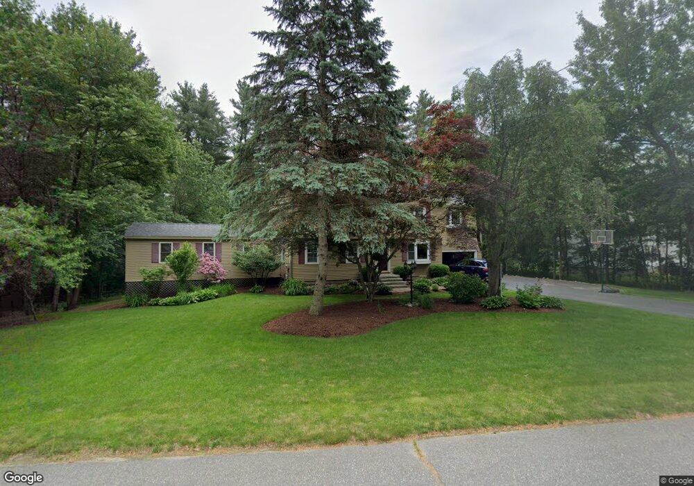
33 Cabot Rd Merrimack, NH 03054
Estimated Value: $700,000 - $748,000
4
Beds
3
Baths
3,574
Sq Ft
$202/Sq Ft
Est. Value
About This Home
This home is located at 33 Cabot Rd, Merrimack, NH 03054 and is currently estimated at $722,439, approximately $202 per square foot. 33 Cabot Rd is a home located in Hillsborough County with nearby schools including Reeds Ferry School, James Mastricola Upper Elementary School, and Merrimack Middle School.
Ownership History
Date
Name
Owned For
Owner Type
Purchase Details
Closed on
Nov 30, 2007
Sold by
Nickerson David C and Nickerson Linda B
Bought by
Corga Jillian K and Corga Luis M
Current Estimated Value
Home Financials for this Owner
Home Financials are based on the most recent Mortgage that was taken out on this home.
Original Mortgage
$308,000
Interest Rate
6.48%
Mortgage Type
Purchase Money Mortgage
Create a Home Valuation Report for This Property
The Home Valuation Report is an in-depth analysis detailing your home's value as well as a comparison with similar homes in the area
Home Values in the Area
Average Home Value in this Area
Purchase History
| Date | Buyer | Sale Price | Title Company |
|---|---|---|---|
| Corga Jillian K | $347,500 | -- |
Source: Public Records
Mortgage History
| Date | Status | Borrower | Loan Amount |
|---|---|---|---|
| Open | Corga Jillian K | $311,000 | |
| Closed | Corga Jillian K | $308,000 | |
| Previous Owner | Corga Jillian K | $75,000 |
Source: Public Records
Tax History
| Year | Tax Paid | Tax Assessment Tax Assessment Total Assessment is a certain percentage of the fair market value that is determined by local assessors to be the total taxable value of land and additions on the property. | Land | Improvement |
|---|---|---|---|---|
| 2025 | $11,137 | $503,700 | $220,200 | $283,500 |
| 2024 | $10,422 | $503,700 | $220,200 | $283,500 |
| 2023 | $9,797 | $503,700 | $220,200 | $283,500 |
| 2022 | $8,754 | $503,700 | $220,200 | $283,500 |
| 2021 | $8,649 | $503,700 | $220,200 | $283,500 |
| 2020 | $8,926 | $371,000 | $154,200 | $216,800 |
| 2019 | $8,952 | $371,000 | $154,200 | $216,800 |
| 2018 | $8,725 | $371,000 | $154,200 | $216,800 |
| 2017 | $8,614 | $368,600 | $154,200 | $214,400 |
| 2016 | $8,400 | $368,600 | $154,200 | $214,400 |
| 2015 | $8,254 | $333,900 | $143,200 | $190,700 |
| 2014 | $8,044 | $333,900 | $143,200 | $190,700 |
| 2013 | $7,984 | $333,900 | $143,200 | $190,700 |
Source: Public Records
Map
Nearby Homes
- 29 Bedford Rd
- 42 Belmont Dr
- 36 Bedford Rd
- 4 Joanne St
- 10 Owls Ct
- 2 Tanager Ct
- 71 Bedford Rd
- 37 Country Club Ln
- 5 Walnut Cir
- 28 Fairway Dr
- 28 Pearson Rd
- 490 Charles Bancroft Hwy
- 11B Mustang Dr Unit C
- 11B Mustang Dr Unit B
- 13B Mustang Dr Unit C
- 13B Mustang Dr Unit B
- 11B Mustang Dr Unit END UNIT- A
- 13B Mustang Dr Unit END UNIT-A
- 11B Mustang Dr Unit END UNIT-D
- 13B Mustang Dr Unit END UNIT-D
Your Personal Tour Guide
Ask me questions while you tour the home.