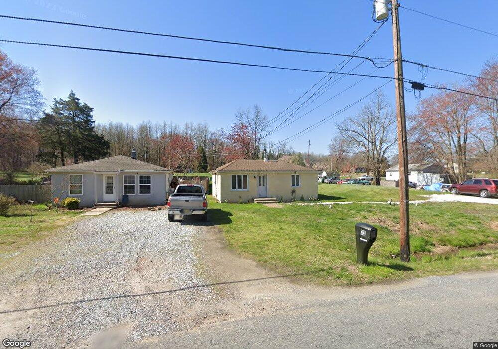
33 Cedar Ln Pilesgrove, NJ 08098
Estimated Value: $188,896 - $271,000
--
Bed
--
Bath
750
Sq Ft
$312/Sq Ft
Est. Value
About This Home
This home is located at 33 Cedar Ln, Pilesgrove, NJ 08098 and is currently estimated at $233,724, approximately $311 per square foot. 33 Cedar Ln is a home located in Salem County with nearby schools including Mary S. Shoemaker School and Woodstown High School.
Ownership History
Date
Name
Owned For
Owner Type
Purchase Details
Closed on
Jun 21, 2025
Sold by
Braxton Helen L and Braxton St Claire
Bought by
Braxton St Claire
Current Estimated Value
Purchase Details
Closed on
Nov 30, 2007
Sold by
Ivins Donald R and Ivins Lori Ann
Bought by
Dunn Gary
Home Financials for this Owner
Home Financials are based on the most recent Mortgage that was taken out on this home.
Original Mortgage
$158,000
Interest Rate
6.48%
Mortgage Type
Purchase Money Mortgage
Create a Home Valuation Report for This Property
The Home Valuation Report is an in-depth analysis detailing your home's value as well as a comparison with similar homes in the area
Home Values in the Area
Average Home Value in this Area
Purchase History
| Date | Buyer | Sale Price | Title Company |
|---|---|---|---|
| Braxton St Claire | $160,256 | Silk Title And Escrow | |
| Braxton St Claire | $160,256 | Silk Title And Escrow | |
| Dunn Gary | $158,000 | -- |
Source: Public Records
Mortgage History
| Date | Status | Borrower | Loan Amount |
|---|---|---|---|
| Previous Owner | Dunn Gary | $158,000 |
Source: Public Records
Tax History Compared to Growth
Tax History
| Year | Tax Paid | Tax Assessment Tax Assessment Total Assessment is a certain percentage of the fair market value that is determined by local assessors to be the total taxable value of land and additions on the property. | Land | Improvement |
|---|---|---|---|---|
| 2025 | $3,916 | $107,100 | $45,200 | $61,900 |
| 2024 | $3,972 | $107,100 | $45,200 | $61,900 |
| 2023 | $3,972 | $107,100 | $45,200 | $61,900 |
| 2022 | $3,742 | $107,100 | $45,200 | $61,900 |
| 2021 | $3,337 | $107,100 | $45,200 | $61,900 |
| 2020 | $3,480 | $107,100 | $45,200 | $61,900 |
| 2019 | $3,378 | $107,100 | $45,200 | $61,900 |
| 2018 | $3,243 | $107,100 | $45,200 | $61,900 |
| 2017 | $3,137 | $107,100 | $45,200 | $61,900 |
| 2016 | $3,010 | $107,100 | $45,200 | $61,900 |
| 2015 | $2,785 | $107,100 | $45,200 | $61,900 |
| 2014 | $2,682 | $107,100 | $45,200 | $61,900 |
Source: Public Records
Map
Nearby Homes
- 399 Pierson Rd
- 22 Alloway Rd
- 13 Alloway Rd
- 438 Bailey St
- 440 Bailey St
- 444 S Main St
- 64 W Millbrooke Ave
- 204 Compromise Rd
- 141 Yorketown Rd
- 133 Spring Garden St
- 76 West Ave
- 178 E Millbrooke Ave
- 39 Green St
- 35 Green St
- 0 Mannington Yorketown Rd Unit NJSA2016390
- 0 Yorketown Rd Unit NJSA139926
- 47 Dickinson St
- L13 Highway 40 W
- 340 Woodstown Daretown Rd
- 36 Bowen Ave