33 Cedar Point Rd Unit 33D Sandusky, OH 44870
Estimated Value: $464,000 - $590,805
3
Beds
3
Baths
1,356
Sq Ft
$396/Sq Ft
Est. Value
About This Home
This home is located at 33 Cedar Point Rd Unit 33D, Sandusky, OH 44870 and is currently estimated at $536,951, approximately $395 per square foot. 33 Cedar Point Rd Unit 33D is a home located in Erie County with nearby schools including Sandusky High School.
Ownership History
Date
Name
Owned For
Owner Type
Purchase Details
Closed on
Aug 25, 2011
Sold by
Idc Properties Llc
Bought by
Lee Sally F
Current Estimated Value
Home Financials for this Owner
Home Financials are based on the most recent Mortgage that was taken out on this home.
Original Mortgage
$288,750
Interest Rate
4.55%
Mortgage Type
New Conventional
Purchase Details
Closed on
Jul 1, 2010
Sold by
Harth Barbara M
Bought by
Idc Properties Llc
Purchase Details
Closed on
May 7, 2002
Sold by
Drackett William H
Bought by
Barbara M Harth Trst
Home Financials for this Owner
Home Financials are based on the most recent Mortgage that was taken out on this home.
Original Mortgage
$500,000
Interest Rate
6.25%
Mortgage Type
New Conventional
Create a Home Valuation Report for This Property
The Home Valuation Report is an in-depth analysis detailing your home's value as well as a comparison with similar homes in the area
Purchase History
| Date | Buyer | Sale Price | Title Company |
|---|---|---|---|
| Lee Sally F | $385,000 | First American Title | |
| Idc Properties Llc | $630,000 | Attorney | |
| Barbara M Harth Trst | $625,000 | -- |
Source: Public Records
Mortgage History
| Date | Status | Borrower | Loan Amount |
|---|---|---|---|
| Previous Owner | Lee Sally F | $288,750 | |
| Previous Owner | Barbara M Harth Trst | $500,000 |
Source: Public Records
Tax History
| Year | Tax Paid | Tax Assessment Tax Assessment Total Assessment is a certain percentage of the fair market value that is determined by local assessors to be the total taxable value of land and additions on the property. | Land | Improvement |
|---|---|---|---|---|
| 2024 | $8,537 | $218,862 | $63,889 | $154,973 |
| 2023 | $8,620 | $146,688 | $52,500 | $94,188 |
| 2022 | $7,436 | $146,702 | $52,500 | $94,202 |
| 2021 | $7,505 | $146,700 | $52,500 | $94,200 |
| 2020 | $6,104 | $109,670 | $52,500 | $57,170 |
| 2019 | $6,276 | $109,670 | $52,500 | $57,170 |
| 2018 | $6,283 | $109,670 | $52,500 | $57,170 |
| 2017 | $9,010 | $156,770 | $105,000 | $51,770 |
| 2016 | $9,006 | $156,770 | $105,000 | $51,770 |
| 2015 | $8,158 | $156,770 | $105,000 | $51,770 |
| 2014 | $7,103 | $137,320 | $85,550 | $51,770 |
| 2013 | $7,032 | $137,320 | $85,550 | $51,770 |
Source: Public Records
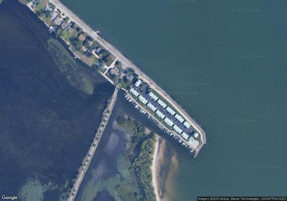
Map
Nearby Homes
- 139 Cedar Point Rd
- 720 Tracht Meadows Dr
- 712 Elizabeth Dr
- 3110 Gabriels Place
- 0 Turfside Cir
- 21 Turfside Cir
- 3104 Hull Rd
- 2912 Park Ln
- 939 Cedar Point Rd
- 2821 Park Ln
- 526 Mariner Village
- 527 Mariner Village
- 2802 N Bayview Ln
- 2815 E Perkins Ave
- 645 Mariner Village
- 2906 E Perkins Ave
- 3037 Lauras Ln
- 3135 Lauras Ln
- 3132 Lauras Ln
- 3125 Alexandrias Dr
- 33 Cedar Point Rd
- 33 Cedar Point Rd
- 33 Cedar Point Rd Unit 33B
- 33 Cedar Point Rd
- 33 Cedar Point Rd Unit C
- 33 Cedar Point Rd Unit 33C
- 32 Cedar Point Rd Unit A
- 32 Cedar Point Rd
- 32 Cedar Point Rd Unit D
- 32 Cedar Point Rd Unit 32B
- 32 Cedar Point Rd
- 32 Cedar Point Rd
- 32 Cedar Point Rd Unit F
- 32 Cedar Point Rd Unit C
- 32 Cedar Point Rd Unit B
- 32 Cedar Point Rd Unit E
- 32 Cedar Point Rd Unit 32F
- 31 Cedar Point Rd
- 31 Cedar Point Rd
- 31 Cedar Point Rd
Your Personal Tour Guide
Ask me questions while you tour the home.